 Catalogue PIGMA
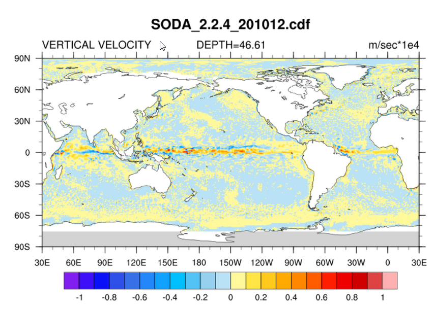
SODA v2.2.4
There are several versions of SODA (Carton, Giese and Grodsky, 2005), depending on the experiment setup. Version 2.2.4 represents their first assimilation run of over 100 years and uses the 20Crv2 winds. As such it is considered a "beta release" and is currently under evaluation in preparation of another long run. We are releasing it as we feel it is important for other researchers to have a chance to examine it. Please feel free to contact the SODA group at Texas A&M University with any comments or concerns.
Simple
- Date (Creation)
- 2010-08
- Date (Revision)
- 2014-01
- Credit
- NOAA - National Oceanic and Atmospheric Administration, Department of Commerce
- Keywords
-
- atmosphere
- atmospheric
- wind
- sea level
- sea surface height
- sea surface topography
- stress surface
- topography
- Use limitation
- Unknown conditions
- Access constraints
- Other restrictions
- Use constraints
- License
- Unique resource identifier
- 76f3328d-1851-4665-994b-c6ed7c94c53d
- Association Type
- Cross reference
- Spatial representation type
- grid Grid
- Distance
- 0.5 °
- Metadata language
- English
- Character set
- utf8 UTF8
- Topic category
-
- Oceans
N
S
E
W
))
- Begin date
- 1871-01-01
- End date
- 2010-12-31
- Unique resource identifier
- EPSG:4326
- Number of dimensions
- 4
- Dimension name
- Vertical
- Dimension size
- 40
- Dimension name
- Time
- Dimension name
- Column
- Dimension size
- 720
- Resolution
- 0.5 °
- Dimension name
- Row
- Dimension size
- 330
- Resolution
- 0.5 °
- Cell geometry
- surface
- Transformation parameter availability
- No
- Distribution format
-
-
(
)
-
(
)
- OnLine resource
- Local path on Datarmor ( NETWORK:LINK )
- OnLine resource
- apdrc portal ( WWW:LINK )
- Hierarchy level
- Dataset
Domain consistency
Conformance result
- Date (Publication)
- 2010-12-08
- Explanation
- See the referenced specification
- Statement
- The ocean model is based on Parallel Ocean Program physics with an average 0.25°x0.4°x40-level resolution. Observations include virtually all available hydrographic profile data, as well as ocean station data, moored temperature and salinity time series, surface temperature and salinity observations of various types, and nighttime infrared satellite SST data. The output is in monthly-averaged form, mapped onto a uniform 0.5°x0.5°x40-level grid. The reanalysis provides three types of variables, those well constrained by observations, those partly constrained by dynamical relatioships to variables frequently observed, and those poorly constrained such as horizontal velocity divergence. It is worthy noting that SODA aims at improving upper ocean reanalysis, likely because data below 1000m is limited. For more information on the SODA product, see Carton et al. (2005) and Carton and Giese (2008).
- File identifier
- 5bed3ffd-68a9-4509-8471-4d0d7234a434 XML
- Metadata language
- English
- Character set
- UTF8
- Hierarchy level
- Dataset
- Date stamp
- 2025-04-03T13:35:43.474411Z
- Metadata standard name
- ISO 19115-3 - SEXTANT
- Metadata standard version
- 1.0
Overviews
Spatial extent
N
S
E
W
Provided by

Associated resources
Not available