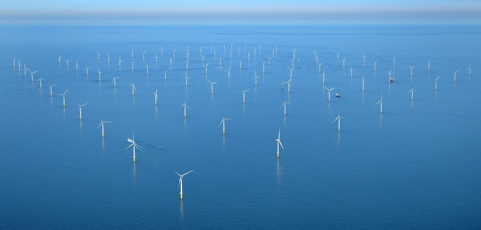
Wind strength and direction | Wind speed (10m) in the atmosphere by model prediction | European Commission |
Simple
- Date
- Identifier
- Wind strength and direction | Wind speed (10m) in the atmosphere by model prediction | European Commission |
- Other citation details
- Average wind speed and direction
- Purpose
- The European Atlas of the Seas is an easy and fun way for professionals, students and anyone interested to learn more about Europe's seas and coasts, their environment, related human activities and European policies. It was developed to raise awareness of Europe's oceans and seas, in the context of the EU's integrated maritime policy. The atlas offers a remarkably diverse range of information about Europe's seas.
- Status
- onGoing On going
edmerp
European Atlas of the Seas
-
European Atlas of the Seas
http://ec.europa.eu/maritimeaffairs/atlas_en
http://ec.europa.eu/maritimeaffairs/atlas_en
Originator
European Commission. Directorate-General for Maritime Affairs and Fisheries
http://ec.europa.eu/dgs/maritimeaffairs_fisheries/
http://ec.europa.eu/dgs/maritimeaffairs_fisheries/
- Maintenance and update frequency
- Unknown
- Used by challenges
-
- Atlantic - CH01 - Windfarm Siting
- Environmental matrix
-
- Air
- Production mode
-
- Delayed
- Visibility
-
- Use of open search engines, searching by name either the data provider or the characteristics
- Policy visibility
-
- There is information, but details are available only on request
- Readyness
-
- Format not proprietary but content not clearly specified
- Parameter Discovery Vocabulary (P02)
-
- Wind strength and direction
- GEMET - INSPIRE themes, version 1.0
-
- Energy resources
- Processing level of characteristics
-
- High level analyzed
- Data delivery mechanisms
-
- Online discovery + downloading + viewing services (Advanced services)
- Parameter Usage Vocabulary (P01)
-
- Wind speed (10m) in the atmosphere by model prediction
- Agreed Parameter Groups (P03)
-
- Meteorology
- Service extent
-
- Data sets are not referenced in a catalogue or are referenced in a non public catalogue
- Validation
-
- Submitted
- Access constraints
- Other restrictions
- Other constraints
- Unrestricted
- Use limitation
- Open and Free. No charge
- Spatial representation type
- vector Vector
- Metadata language
- Français
- Character set
- utf8 UTF8
- Topic category
-
- Oceans
- Environment description
- Wind speed and direction will be used as major indicator in fitness for use OWF siting assessment
N
S
E
W
))
- Begin date
- NA
Vertical extent
- Dimension name
- Time
- Resolution
- 1
- Transformation parameter availability
- Yes
- Checkpoint Availability
- Yes
- Distribution format
-
-
PDF
()
-
JPEG
()
-
PDF
()
- OnLine resource
- Select from the list ( WWW:LINK )
- OnLine resource
- AtlasA3.pdf ( WWW:LINK )
- Hierarchy level
- Dataset
Domain consistency
- Name of measure
- Responsiveness
Quantitative result
- Value
- Online downloading (i.e. a few hours or less) for release
- Statement
- NA
- Attribute description
- observation
- Content type
- Physical measurement
- File identifier
- ad363dcd-5e96-42d3-9cbf-6e6e81ac9f28 XML
- Metadata language
- English
- Character set
- UTF8
- Hierarchy level
- Dataset
- Hierarchy level name
- Atlantic - CH01 - Windfarm Siting
- Date stamp
- 2018-04-13T09:33:26Z
- Metadata standard name
- ISO 19115-3 - Emodnet Checkpoint - Upstream Data
- Metadata standard version
- 1.0
Overviews

Spatial extent
N
S
E
W
))
Provided by

Associated resources
Not available
 Catalogue PIGMA