 Catalogue PIGMA
Coastal zones derived from Corine Land Cover class 523 (raster 100m), Dec. 2011
Simple
- Date (Creation)
- 2011-12-09
- Identifier
- eea_r_3035_100_m_clc-buffer-523_p_2011_v15_r00
- GEMET - INSPIRE themes, version 1.0
-
- Elevation
- GEMET
-
- sea
- coast
- Sous-regions marines
-
- /Métropole
- /Métropole/Manche mer du Nord
- /Métropole/Mers Celtiques
- /Métropole/Golfe de Gascogne
- /Métropole/Méditerranée occidentale
- Thématiques - SIMM
-
- /Etat du Milieu/Littoral
- Type de jeux de donnée - ODATIS
-
- /Données dérivées/Produits composites
- Type de jeux de donnée - ODATIS
-
- /Télédétection
- Use limitation
- EEA standard re-use policy: unless otherwise indicated, re-use of content on the EEA website for commercial or non-commercial purposes is permitted free of charge, provided that the source is acknowledged (http://www.eea.europa.eu/legal/copyright). Copyright holder: European Environment Agency (EEA).
- Access constraints
- Other restrictions
- Other constraints
- no limitations to public access
- Spatial representation type
- Grid
- Distance
- 100 m
- Metadata language
- English
- Character set
- UTF8
- Topic category
-
- Environment
- Geoscientific information
))
- Begin date
- 2006-01-01
- End date
- 2006-12-31
- Unique resource identifier
- EPSG:3035
- Distribution format
-
-
GTiff
(
)
-
GTiff
(
)
- OnLine resource
- Direct download ( WWW:URL )
- Hierarchy level
- Dataset
Conformance result
- Date (Publication)
- 2010-12-08
- Explanation
- See the referenced specification
- Statement
-
0. Download the CLC v.15 100 m raster datasets, as published in EEA data service:
Corine Land Cover 2000 raster data - version 15 (08/2011), Aug 24, 2011
Corine Land Cover 2006 raster data - version 15 (08/2011), Aug 24, 2011
Corine Land Cover 1990 raster data - version 15 (08/2011), Aug 24, 2011
Corine Land Cover 2000 - 2006 changes - version 15 (08/2011), Aug 24, 2011
Corine Land Cover 1990 - 2000 changes - version 15 (08/2011), Aug 24, 2011
http://www.eea.europa.eu/data-and-maps/data#c12=corine+version+15+raster+data
1. Generate layers FK90 and FK00 as described in LEAC_methodology_report_2011.pdf
In GRASS:
r.mapcalc FK00 = "(cha06_00 != 990 ? cha06_00 : clc06 != 990 ? clc06 : clc00)"
r.mapcalc FK90 = "(clc90 == 990 ? 990 : cha00_90 != 990 ? cha00_90 : FK00)"
2. Generate the coastal zones in GRASS as buffers of the SEA areas, according to the attached buffer.sh script
Layer buffer_523_1_to_10km can be generated directly from the input layers clc06, FK00 and FK90.
- File identifier
- fee1dd1a-b65b-4d01-9f54-00c080f9e151 XML
- Metadata language
- English
- Character set
- UTF8
- Hierarchy level
- Dataset
- Date stamp
- 2021-04-21T10:46:42.731Z
- Metadata standard name
- ISO 19115/19139
- Metadata standard version
- 1.0
Overviews
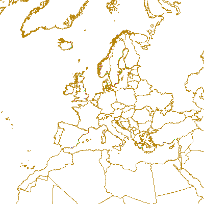
Spatial extent
Provided by
