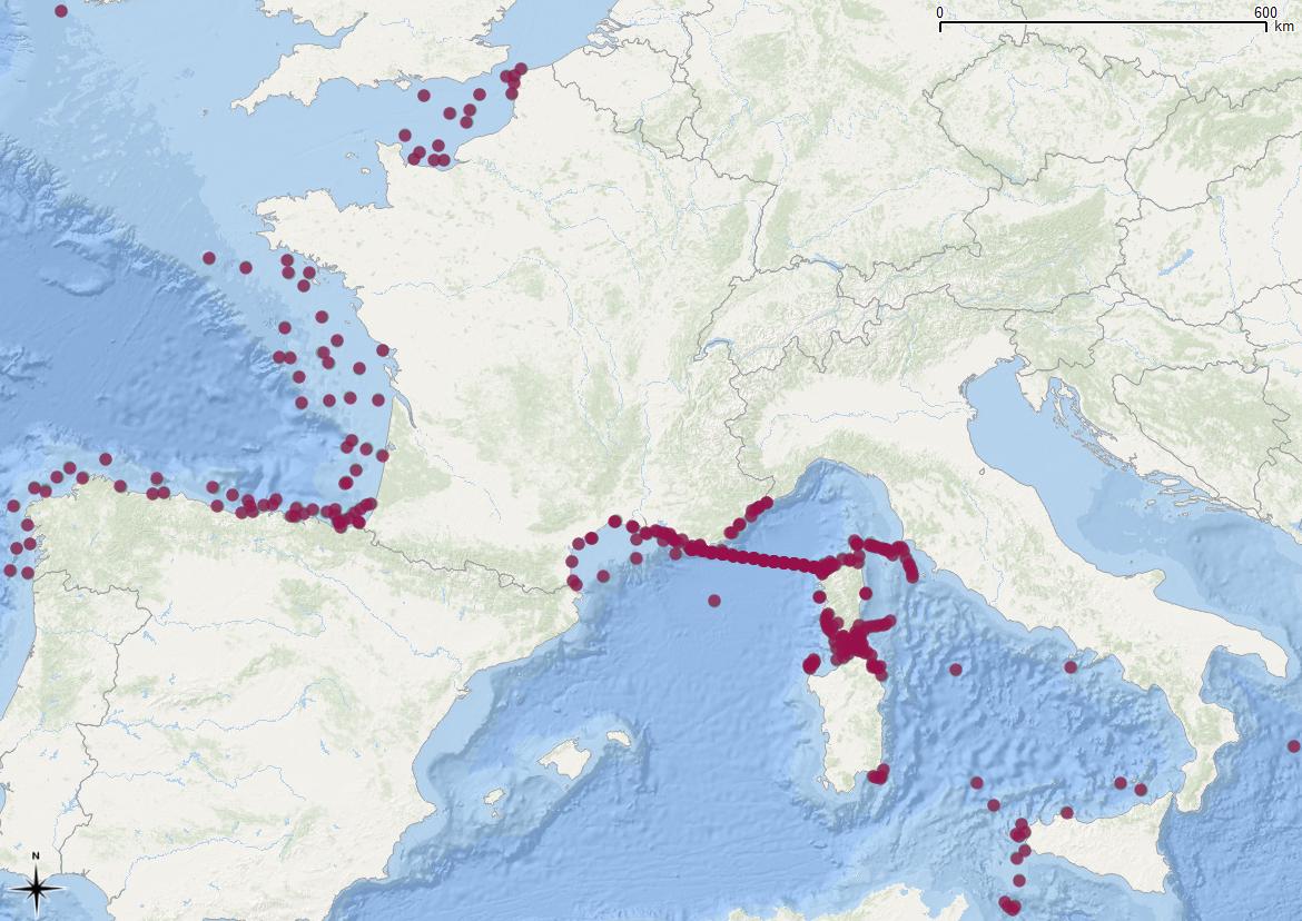
Catalogue PIGMA
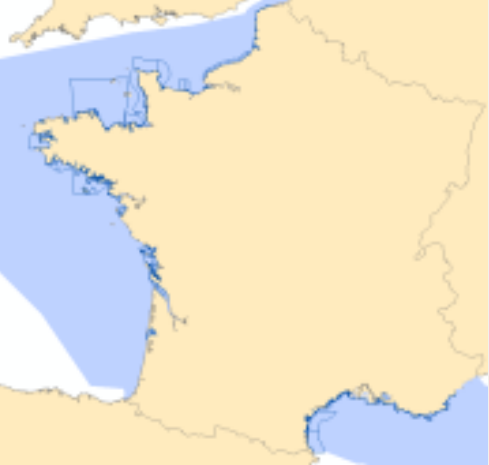
/Metropolitan France
Type of resources
Available actions
Topics
Keywords
Contact for the resource
Provided by
Years
Formats
Representation types
Update frequencies
status
Scale
-
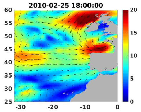
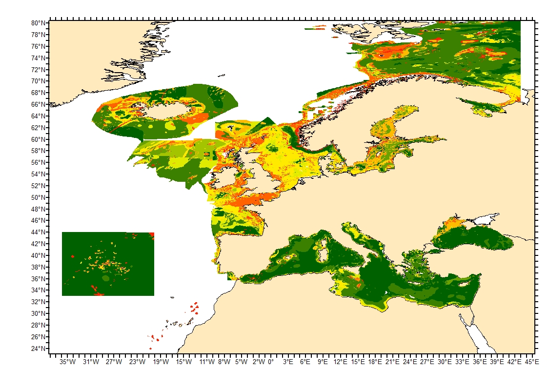
Wind analyses, estimated over the North Atlantic Ocean with a focus on some specific regions, are one the main ARCWIND (http://www.arcwind.eu/) project deliverables. They are estimated from various remotely sensed wind observations in combination with numerical model (WRF), with regular space (0.25deg in latitude and longitude), and time (00h:00, 06h:00, 12h:00, 18h:00 UTC), and based the method described in (Bentamy A., A. Mouche, A. Grouazel, A. Moujane, M. A. Ahmed. (2019): Using sentinel-1A SAR wind retrievals for enhancing scatterometer and radiometer regional wind analyses . International Journal Of Remote Sensing , 40(3), 1120-1147 . https://doi.org/10.1080/01431161.2018.1524174).
-
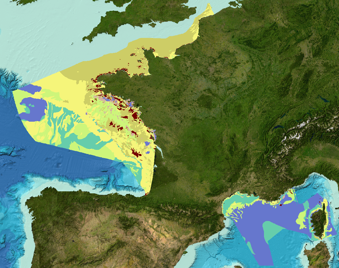
Sediment substrate maps at different scales, of the French metropolitan EEZ produced in the work-package 3 the European project EMODNet Geology (phase IV). Available scales : - 1 : 1 000 000 - 1 : 250 000 - 1 : 100 000 - 1 : 50 000 - 1 : 20 000 - 1 : 15 000 - 1 : 10 000 - 1 : 5 000 Bibliographic references : - Coltman, N., Gilliland, P. & van Heteren, S. 2007. What can I do with my map? In: MESH Guide to Habitat Mapping, MESH Project, 2007, JNCC, Peterborough. Available online at: (http://www.searchmesh.net/default.aspx?page=1900) - Foster-Smith, R., Connor, D. & Davies, J. 2007. What is habitat mapping? In: MESH Guide to Habitat Mapping, MESH Project, 2007, JNCC, Peterborough. Available online at: (http://www.searchmesh.net/default.aspx?page=1900) - Väänänen, T. (ed), Hyvönen, E., Jakonen, M., Kupila, J., Lerrsi, J., Leskinen, J., Liwata, P., Nevalainen, R., Putkinen, S., Virkki, H. 2007. Maaperän yleiskartan tulkinta- ja kartoitusprosessi. Maaperän yleiskartoitus –hankkeen sisäinen raportti. 17 p.
-
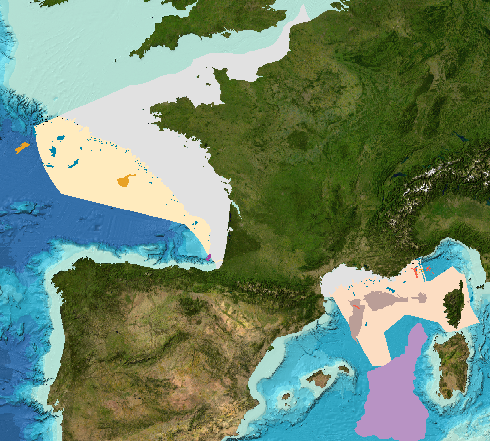
Landslides and gravitational features mapped within French metropolitan EEZ at 1 : 250 000 in the framework of work-package 6 (Geological Events and Probabilities) of the european project EMODNet Geology. These datasets were delivered during the phase 2 of the project.
-
Definition of Classified Shellfish Farming Areas. Boundaries are defined by prefectural classification decrees provided to the International Office for Water (OIEau) by the Departmental Offices for Maritime affairs (DDAM) Annual Layer created by OIEau.
-
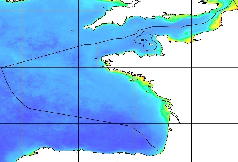
Sediment average grain size in the European North-East Atlantic and Mediterranean waters was generated from Euseamap 2023 sediment categories. This rough granulometry estimate may be used for habitat models at meso- and large scale.
-
-
Ocean energy is a relevant source of clean renewable energy, and as it is still facing challenges related to its above grid-parity costs, tariffs intended to support in a structured and coherent way are of great relevance and potential impact. The logistics and marine operations required for installing and maintaining these systems are major cost drivers of marine renewable energy projects. Planning the logistics of marine energy projects is a highly complex and intertwined process, and to date, limited advances have been made in the development of decision support tools suitable for ocean energy farm design. The present paper describes the methodology of a novel, opensource, logistic and marine operation planning tool, integrated within DTOceanPlus suite of design tools, and responsible for producing logistic solutions comprised of optimal selections of vessels, port terminals, equipment, as well as operation plans, for ocean energy projects. Infrastructure selection logistic functions were developed to select vessels, ports, and equipment for specific projects. A statistical weather window model was developed to estimate operation delays due to weather. A vessel charter rate modeling approach, based on an in-house vessel database and industry experience, is described in detail. The overall operation assumptions and underlying operating principles of the statistical weather window model, maritime infrastructure selection algorithms, and cost modeling strategies are presented. Tests performed for a case study based a theoretical floating wave energy converter produced results in good agreement with reality.
-

-
-