Keyword
AIS
Type of resources
Available actions
Topics
Keywords
Contact for the resource
Provided by
Years
Formats
Representation types
Update frequencies
Scale
From
1
-
3
/
3
-
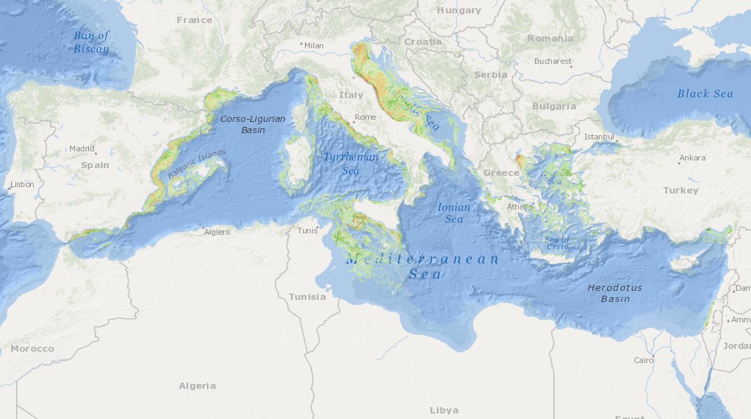
MEDSEA_CH5_Product_7 / Change level of disturbance from AIS data combined with habitat vulnerability

to deliver maps showing the extent of the trawling fishing grounds for identifying the changes in level of disturbance over the past ten years and identifying the gaps of fishing vessels’ tracking systems in the Mediterranean Sea
-

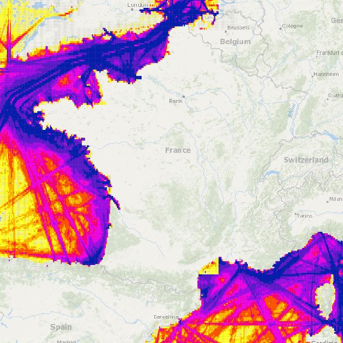
Densité du trafic maritime en 2016 par grands types de navires: tanker, cargo, yacht, pêche, passager, classB. Une densité tous navires confondus est également disposnible. La densité représente un nombre de navires par maille de 3 minutes et pour 340 jours en Atlantique et 354 en Méditerranée.
-
Densités de navires estimées par maille de 1 minutes pendant l'année 2019 d'après le dispositif AIS (système de géolocalisation automatique des navires).
 Catalogue PIGMA