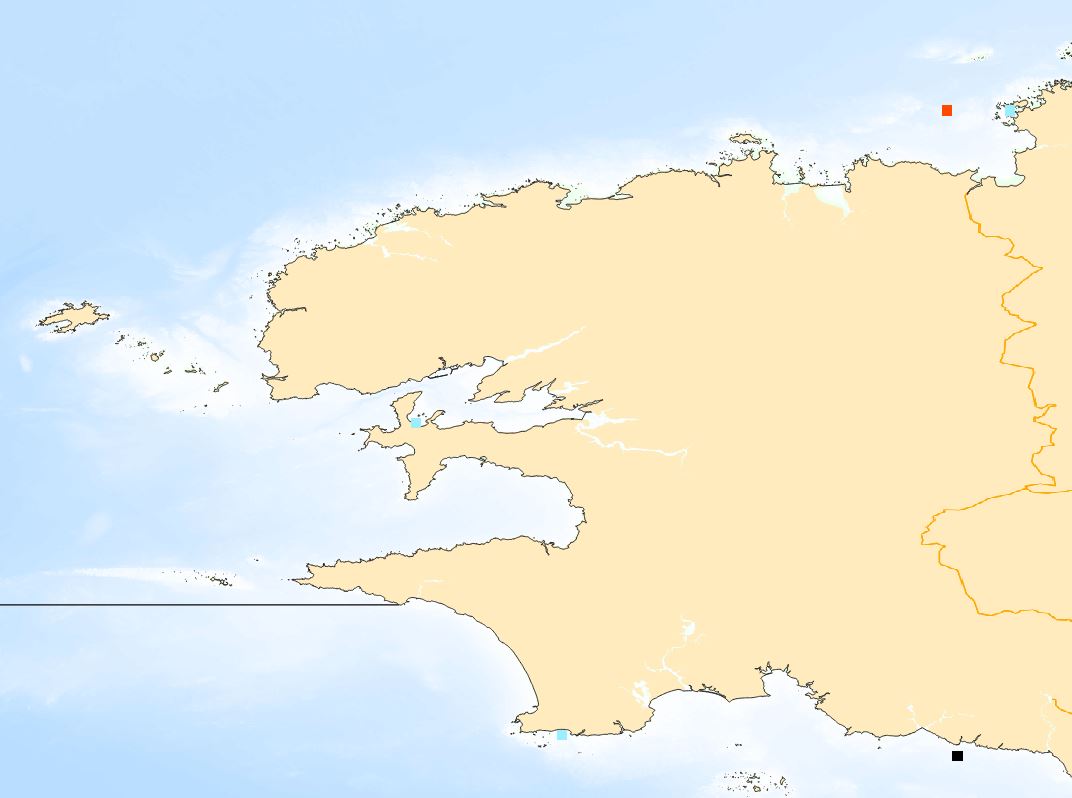
Catalogue PIGMA
Marine Strategy Framework Directive (MSFD)
Type of resources
Available actions
Topics
Keywords
Contact for the resource
Provided by
Formats
Representation types
Update frequencies
status
Scale
Resolution
-

-
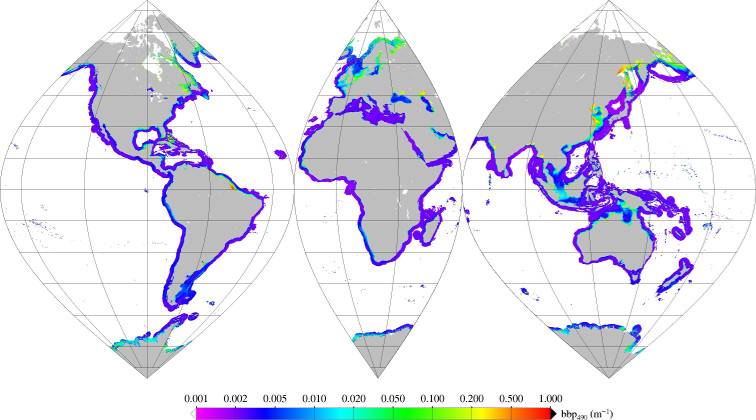
Monthly mean of backscattering coefficient (bbp) at 490nm (2002-2012) for coastal areas, at global scale, for MERIS sensor, with POLYMER atmospheric corrections. Ref: Loisel in prep.
-

The activity calendars of fishing vessels reconstituted each year provide access to the following monthly fishing data: main operating port, number of pepole on board, number of days at sea and of, trade (s) practiced ( s), exploited fishing areas and their distance from the coast. Annual data on the dimension and mesh size of the engines used to practice a trade are also provided.
-
-
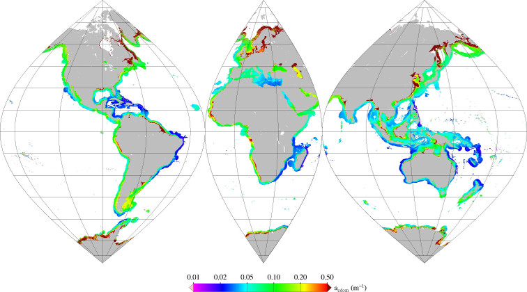
Monthly mean of absorption coefficient minus water absorption (anw) at 412nm (2002-2012) for coastal areas, at global scale, for MERIS sensor, with POLYMER atmospheric corrections. Ref: Loisel (in prep)
-
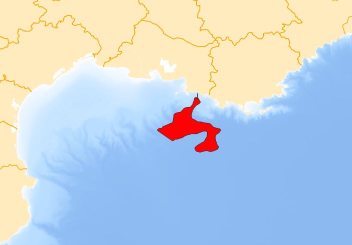
La donnée contient la zone d'expansion maximale de la beauxite dans le canyon de Cassidaigne et du domaine bathyal environnant.
-
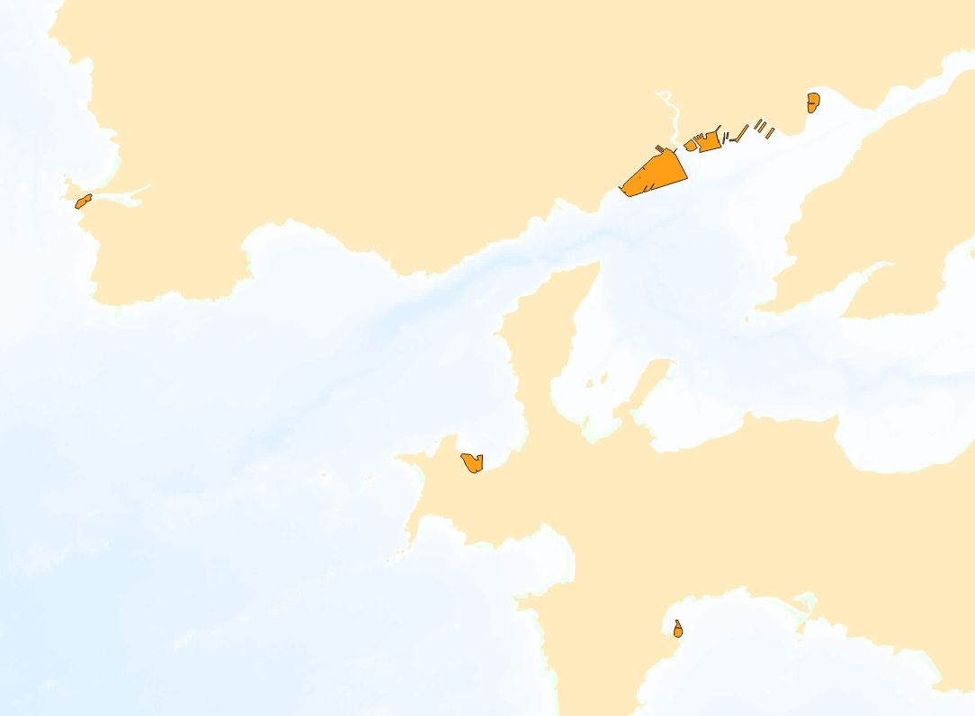
"Zones homogènes de dragages" contient la donnée surfacique obtenues à partir des données créés par le BRGM, le CEREMA et issues d'un nombre limité de GPM.
-
-
-