Keyword
Multibeam surveying
Type of resources
Topics
Keywords
Provided by
Representation types
Update frequencies
status
Scale
From
1
-
1
/
1
-

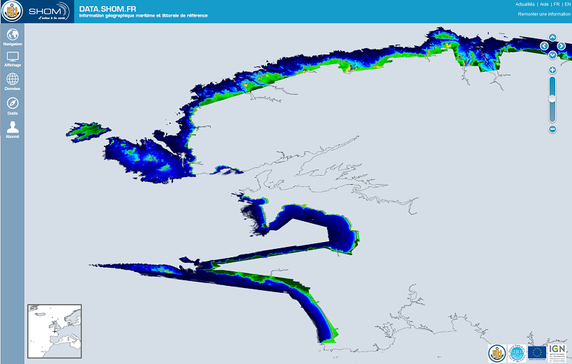
The Litto3D® project, along with the IGN, is responsible for producing detailed topographical and bathymetric information in mainland France so as to meet the needs of coastal and land-based stakeholders.
 Catalogue PIGMA