 Catalogue PIGMA
Oceans
Type of resources
Available actions
Topics
Keywords
Contact for the resource
Provided by
Years
Formats
Representation types
Update frequencies
status
Scale
Resolution
-
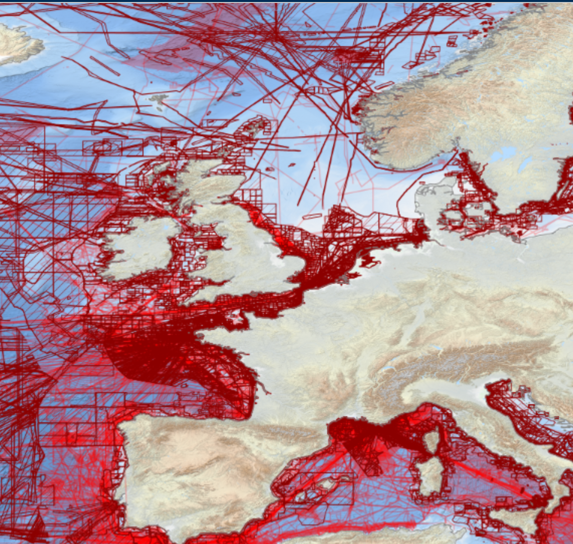
EMODnet bathymetry is composed of a multitude of datasets from a multitude of data providers. Users of the resulting grid and associated datasets need to be able to evaluate at the grid node level the quality of the bathymetric data and product they will be using. For this EMODnet Bathymetry has introduced a Quality index (QI). The QI is available as a WFS service providing vector data and as WMS providing the QI as an image service. The aim of the quality index is to: • help data users to evaluate quickly the dataset they are about to request, • indicate to the EMODnet Basin coordinators what are the limitations of the dataset they are about to merge while building the EMODnet DTM and to • be used as the basis of the evaluation of the quality of the EMODnet DTM. Service URL: https://ows.emodnet-bathymetry.eu/wfs
-
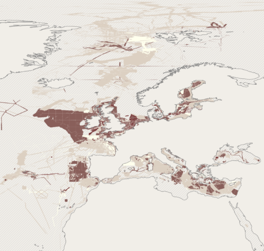
EMODnet Bathymetry has adopted the CDI Data Discovery & Access service as developed and operated by SeaDataNet, the pan-European network of NODCs, to bring together and provide access to available high resolution bathymetric survey data sets from many data providers, such as National Hydrographic Institutes, Research Institutes, and Survey companies. All bathymetric survey data are described with INSPIRE compliant metadata, following the CDI metadata profile, based on ISO 19115 – 19139 standards. This way, the CDI service gives users a highly detailed insight in the availability and geographical spreading of bathymetric survey data sets that are acquired and managed by an increasing group of data providers and for which users can request access for downloading. The CDI metadata are public domain and freely available for all users. However, a major part of the survey data sets is not freely available and requires negotiation with the data owners. The SeaDataNet CDI search, shopping and tracking mechanism facilitates identifying and requesting access to these background data sets from data providers. Note that all data sets are used internally with permission of the data owners for contributing to the EMODnet Digital Terrain Model (DTM) for the European sea regions. The service URL is : https://geo-service.maris.nl/emodnet_bathymetry/wfs?service=WFS&request=GetCapabilities. The layer in the Map Viewer facilitates users to view the locations of the CDI entries and to retrieve details of individual surveys by clicking on the map. From there users are linked to the actual CDI Data Discovery and Access service (https://cdi-bathymetry.seadatanet.org/search) for performing more queries and submitting requests for data access.
-
Benthic Non Native Species Tool (Cefas)
-

EMODnet bathymetry is composed of a multitude of datasets from a multitude of data providers. Users of the resulting grid and associated datasets need to be able to evaluate at the grid node level the quality of the bathymetric data and product they will be using. For this EMODnet Bathymetry has introduced a Quality index (QI). The QI is available as a WFS service providing vector data and as WMS providing the QI as an image service. The aim of the quality index is to: • help data users to evaluate quickly the dataset they are about to request, • indicate to the EMODnet Basin coordinators what are the limitations of the dataset they are about to merge while building the EMODnet DTM and to • be used as the basis of the evaluation of the quality of the EMODnet DTM. Service URL: https://ows.emodnet-bathymetry.eu/wfs
-
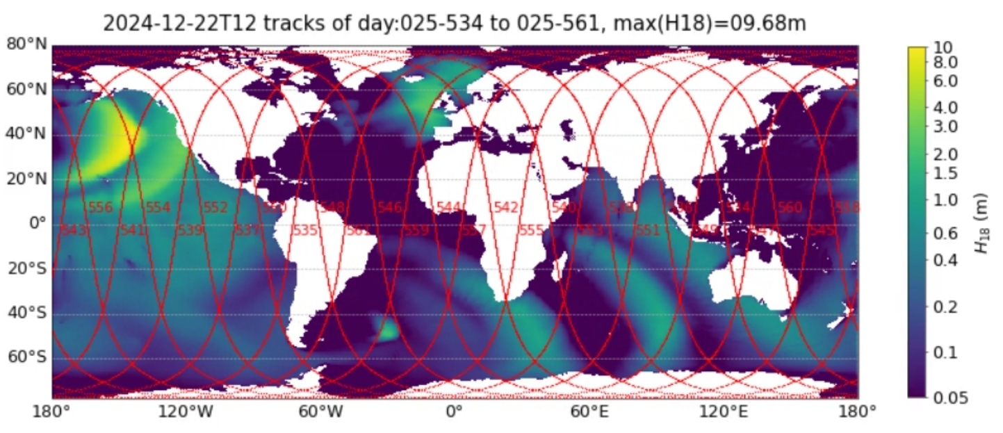
Wave hindcast based on WAVEWATCH III ® with parameterization from Romero (2019) adapted by Alday and Ardhuin (2023) as “TEST702”.
-
-
The mission for this tool, as well as its overriding goal, is "Solving problems in capture fisheries and aquaculture using GIS, remote sensing and mapping". Specifically, the objectives of GISFish are to: - Improve the sustainability of aquaculture and capture fisheries by promoting the use of GIS, remote sensing and mapping; - Facilitate the use of GIS, remote sensing, and mapping through easy access to comprehensive information on applications and training opportunities. The Fisheries and Aquaculture Management Division at FAO is actively promoting the use of spatial analytical tools and geo-referenced information for the analysis of Fisheries and Aquaculture data and in the development of Fisheries and Aquaculture management. GISFish is a "one stop" site from which to obtain the global experience on Geographic Information Systems (GIS), Remote Sensing and Mapping as applied to Fisheries and Aquaculture. GISFish sets out the issues in Fisheries and Aquaculture, and demonstrates the benefits of using GIS, remote sensing and mapping to resolve them. The global experience provided by GISFish is captured in Issues, Publications, Activities, Training, Data and Tools, Contacts,Discussions, News and events. GISFish is broadly divided into two domains, GISFish Aquaculture and GISFish Capture Fisheries with a wide range of material and information that is shared between the two domains to address the role of GIS to support the Ecosystem Approach to Fisheries (EAF) and the Ecosystem Approach to Aquaculture (EAF).
-
The ODIS "Catalogue of Sources" aims to be an online browsable and searchable catalogue of existing ocean related web-based sources/systems of data and information as well as products and services. It will also provide information on products and visualize the landscape (entities and their connections) of ocean data and information sources. It will contribute to the objectives of the Agenda 2030, and in particular the UN Decade for Ocean Science for Sustainable Development. The Catalogue is not an ocean database or metadata repository. The catalogue includes descriptive information such as the URL, title, description, language, point of contact, geographic scope, available technologies for machine-to-machine interaction, keywords, etc. and can be searched on many of these fields. The IODE network of NODCs has been collecting, managing and serving data for decades. This effort has yielded an extensive, but distributed and heterogeneous collection of data and information sources. Additionally, the low threshold for technical capabilities required to offer data and information over the Internet means that many of the hosted resources are not readily discoverable through NODCs, regional or international data and information systems ODIS will provide an online catalogue of (ideally) all online data/information sources (and, where possible, metadata on off-line sources as well). Many regional and international programmes and projects have developed online data/information services but there is currently no "one-stop shop" where users are offered an overview and/or common data/information discovery interface. There are currently 3090 sources (2172 are searchable) catalogued in the system.
-

rgbif is an R package from rOpenSci that allows searching and retrieving data from GBIF. rgbif wraps R code around the GBIF API to allow you to talk to GBIF from R and access metadata, species names, and occurrences. rgbif allows you to easily: - get data for single occurrences - retrieve multiple occurences - search for taxon names - generate maps of occurences