Seabirds
Type of resources
Available actions
Topics
Keywords
Contact for the resource
Provided by
Formats
Representation types
Update frequencies
status
Scale
-

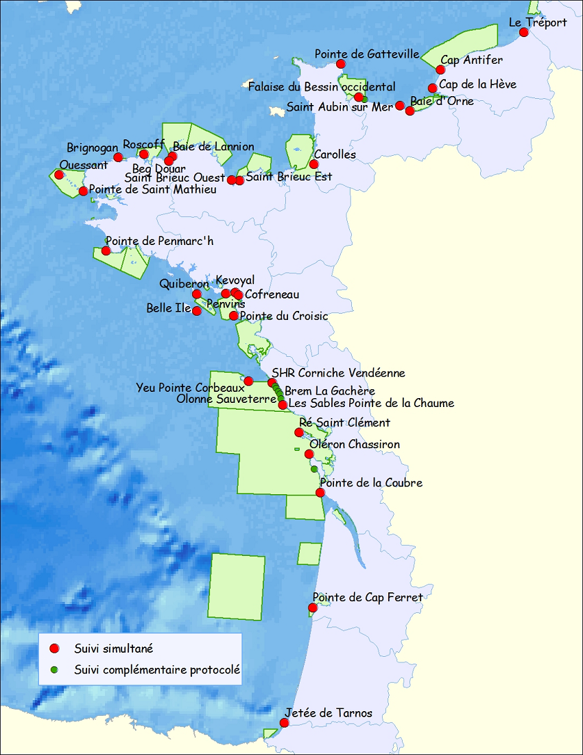
To produce marine bird indicators of the ecological state of the French coasts (functioning, Marine protected Areas, etc.) To structure monitoring works carried out on the French coasts as a network To extend the sectors involved to all coasts, beyond the borders of the Interreg Atlantic Arc (project for 2013) To study the distribution of marine birds along French coasts To identify functional sites To identify areas of high concentration and, in other cases, marine Important Bird Areas To list the currents Marine Protected Areas (N2000 en mer, Marine parks, Nature reserves)
-

-

-

-

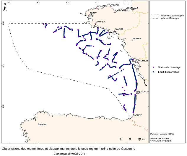
EVRWE is a multiannual survey with the following objectives: - Building up time series of abundance indices for the main dermersal and benthic species in the Celtic Sea and the Bay of Biscay. - Measuring inter-annual changes in their recruitment. - Mapping the spatial distributions of the species and their inter-annual variations, as well as looking for the origin of this variability (biotic and/or abiotic parameters, fisheries impact). - In the framework of the 'Bay of Biscay' challenge, the data collected are vital for understanding changes in faunal communities.
-

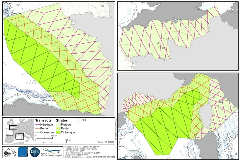
Flights over France’s metropolitan waters and border areas to observe seabirds, marine mammals, other species of megafauna in open water and human activity (floating waste), with the aim of producing an inventory of spatial distribution and species abundance, and to evaluate spatial and temporal variability. This part, complemented by other work in the PACOMM programme, provides information which is collated and used for designating and managing protected marine areas to meet requirements for community conservation and promotion of marine areas (Natura 2000, MSFD, local and regional maritime conventions, etc.).
 Catalogue PIGMA