Keyword
Sediment samples
Type of resources
Topics
Keywords
Provided by
Representation types
Update frequencies
status
Scale
From
1
-
1
/
1
-

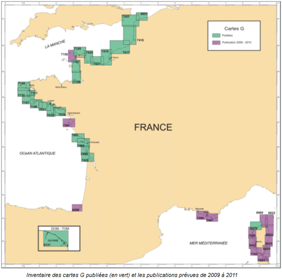
G maps represent the nature of the sea floor in the background of a maritime map used in navigation. Most such maps are published at a scale of nearly 1/50 000, and are as often as possible drawn up within the context of collaborations with university laboratories with knowledge of the area to be mapped.
 Catalogue PIGMA