 Catalogue PIGMA
HCMR
Type of resources
Topics
Keywords
Contact for the resource
Provided by
Years
Formats
Representation types
-
Shape file with the layers containing the information as in Product CH2-1 and depth/biological zones. Fisheries Restricted Areas with specifics on the prohibitions and the type of closure.
-
Combination MPAs and monitoring stations for biodiversity elements
-
In order to assess the connectivity oceanographic data will be used. A shape map will be created combining data on MPAs adequacy and distribution of MPAs and temperature, currents seasonal GIS layers (The temperature and currents are INGV climatological products made available to CH2.
-
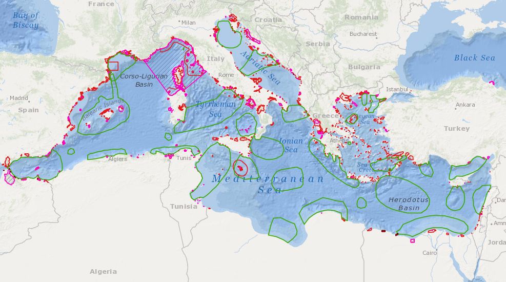
Med protection initiatives (management and conservation areas)
-
Proposed regional conservation areas in the Mediterranean
-
Combination of bathymetry, light, MPAs, Natura sites, seagrass distributions, Coralligenous formations, Mediterranean Cetaceans, Marine caves, Transitional water bodies
-
POSEIDON is an operational marine monitoring, forecasting and information system for the Greek Seas. The observing component is a distributed infrastructure made by three coastal buoys (Saronikos buoy-SB, Heraklion Coastal Buoy-HCB and Athos buoy-AB) and one Ferrybox (PFB). A calibration laboratory) is supporting the observing activities. The Ferrybox is installed on board H/S/F “Knossos Palace” and is equipped with sensors measuring T, C/S, DO, pH, fluorescence and turbidity. It is the only Ferry Box in the Mediterranean operating daily along the route Heraklion – Piraeus.
-
Proposed regional conservation areas in the Mediterranean
-
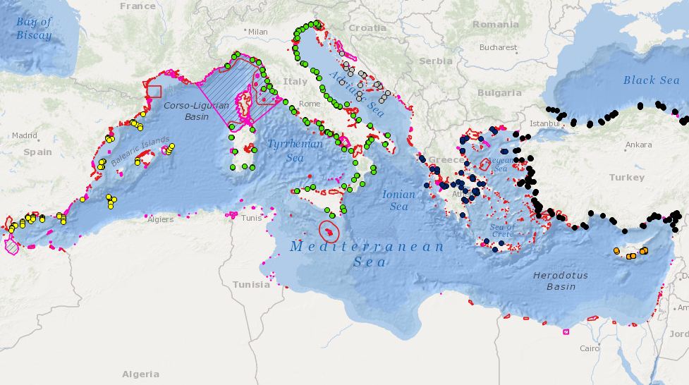
Combination MPAs and monitoring stations for biodiversity elements
-
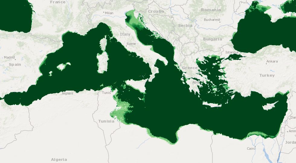
Combination of bathymetry, light, MPAs, Natura sites, seagrass distributions, Coralligenous formations, Mediterranean Cetaceans, Marine caves, Transitional water bodies