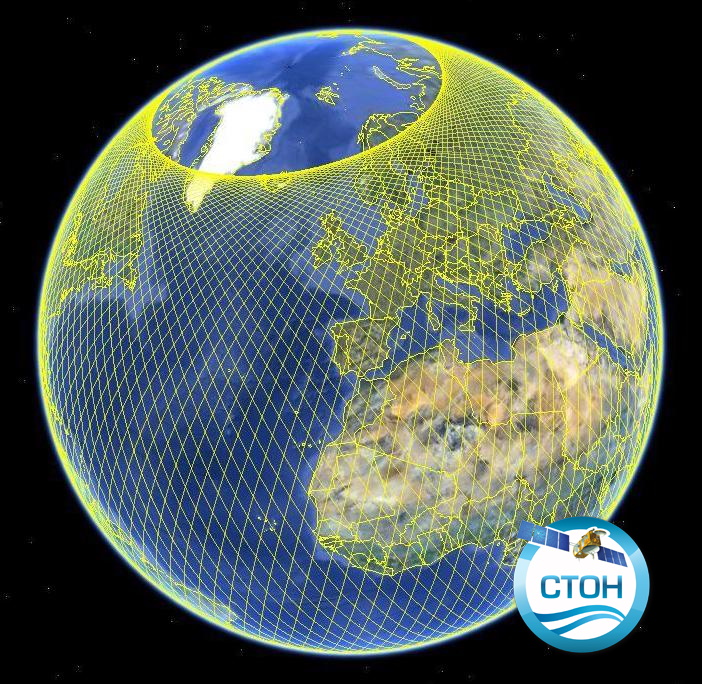
Produit altimétrique Jason-2 de niveau 2 GDR (monomission, le long de la trace)
Jason-2 GDR L2 version D from CNES/NASA augmented by CTOH with new corrections or parameters.
Both successive orbits are proposed:
reference orbit: 2008/07/04-2016/10/02
orbit interleaved: 2016/10/13-2017/03/15
Simple
- Date (Publication)
- 2017-11-07
- Credit
- CTOH, CNES, NASA
- Centre de données ODATIS
-
- CDS-SAT-AVISO
- Type de jeux de donnée ODATIS
-
- Données d'observation
- Thèmatiques ODATIS
-
- Télédétection
- Theme
-
- altimetry, GDR, satellite, surface heights, sea level, SLA, backscatter coefficient
- Services Nationaux d'Observation
-
- SNO-CTOH
- ODATIS aggregation parameters and Essential Variable names
-
- Hauteur de la surface de la mer
- Use limitation
- The only limitation is to reference the CTOH while using these data
- Access constraints
- Copyright
- Use constraints
- Copyright
- Spatial representation type
- Grid
- Metadata language
- Français
- Character set
- UTF8
- Topic category
-
- Oceans
N
S
E
W
))
- Begin date
- 2008-07-04
- End date
- 2017-03-15 Before
- Geometric object type
- Point
- Distribution format
-
-
(
)
-
(
)
- OnLine resource
- accès aux produits CTOH ( WWW:LINK )
- Hierarchy level
- Dataset
- File identifier
- 8dd0c233-971f-45fd-8e20-525248f9afd2 XML
- Metadata language
- Français
- Character set
- UTF8
- Parent identifier
- Altimetry product GDRs (monomission, along-track, level2), several missions available 43feec26-ee31-4fe3-9556-3ad5528fe0b7
- Hierarchy level
- Dataset
- Date stamp
- 2024-06-13T13:41:15.003Z
- Metadata standard name
- ISO 19115:2003/19139 - SEXTANT
- Metadata standard version
- 1.0
Overviews

Spatial extent
N
S
E
W
))
Provided by

Associated resources
Not available
 Catalogue PIGMA