 Catalogue PIGMA
ESRI Shapefile
Type of resources
Available actions
Topics
Keywords
Contact for the resource
Provided by
Years
Formats
Representation types
Update frequencies
status
Scale
Resolution
-
-
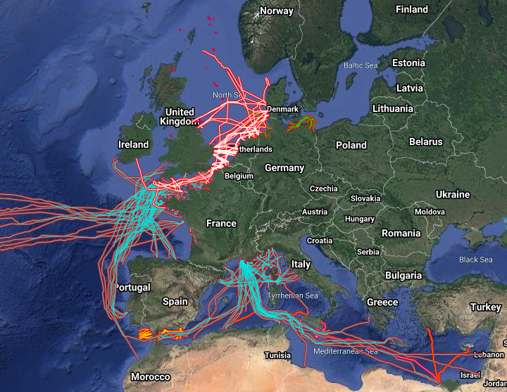
The datasets on subsea telecommunication and power cables (actual routes) in the EU was created in 2014 by Cogea for the European Marine Observation and Data Network (EMODnet). It is the result of the aggregation and harmonization of datasets provided by several sources. It is updated every year and is available for viewing and download on EMODnet Human Activities web portal (www.emodnet-humanactivities.eu). The datasets contain lines representing actual cable routes locations. Compared with the previous version, this version includes an update of the French telecommunication cables, the telecommunication cables that originate from or pass through Spanish (Andalucia) and Dutch waters, and the electric cables that originate from or pass through French, Dutch and Norwegian waters.
-
-
-
-

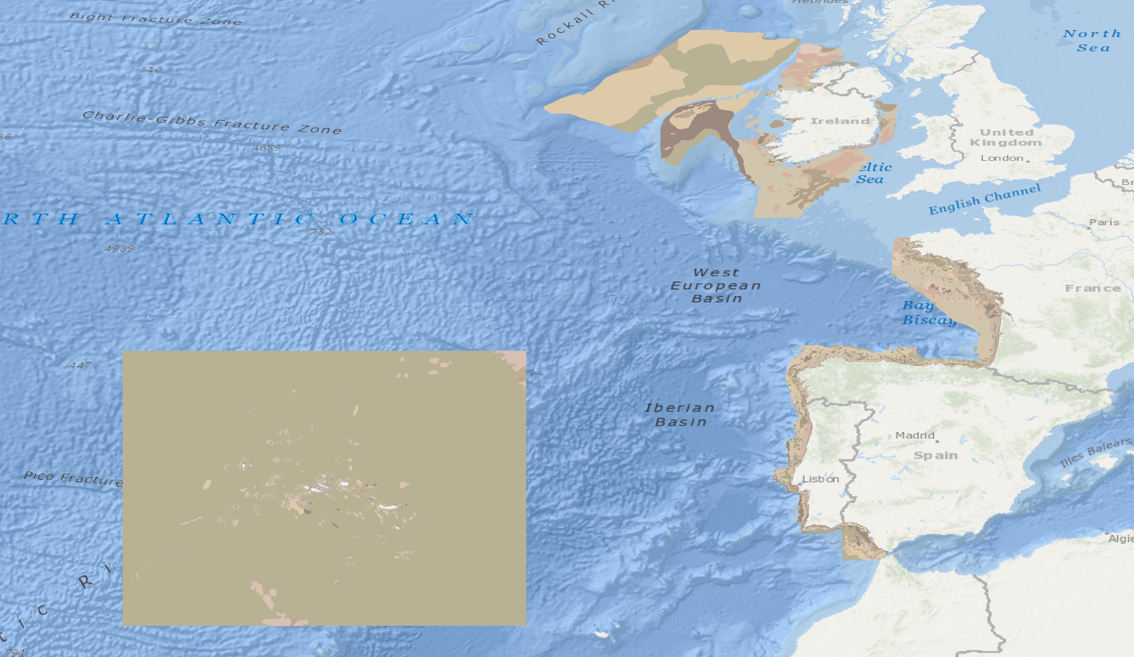
This is a compilation of OSPAR habitat point data for the northeast Atlantic submitted by OSPAR contracting parties. The compilation is coordinated by the UK's Joint Nature Conservation Committee, working with a representative from each of the OSPAR coastal contracting parties. This public dataset does not contain records relating to sensitive species (e.g. Ostrea edulis) in specific areas, or where data are restricted from public release by the owner's use limitations. This version (v2020) was published in July 2021.
-
Data from a number of different sources have been integrated to provide new perspectives on fishing activities. Vessel Monitoring Systems (VMS) record and transmit the position and speed of fishing vessels at intervals of two hours or less. Fishing time can be calculated from the VMS data and combining this parameter with vessel logbook data, maps of fishing effort and intensity at different spatial and temporal scales can be calculated. The statistical software package “R” is used to extract the required information then re-interrogated to produce maps of fishing effort or intensity per month and year. The use of Automatic Identification System (AIS) data was not considered as combining AIS data with fisheries logbook data would pose issues namely; the ability of the AIS system to be switched off, only mandatory on vessels > 15 meters in length, cost involved to purchase data, and confidentiality.
-
-
-

Particuliers bénéficiant du portage de repas à domicile