Format
ESRI grid
Type of resources
Available actions
Topics
Provided by
Years
Formats
Representation types
Resolution
From
1
-
1
/
1
-

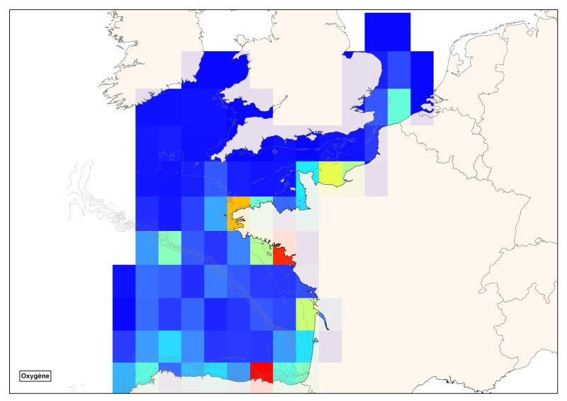
Spatial distribution of all oxygen data in degrees integrated vertically and horizontally for all sub-regions of the English Channel, the North Sea, the Celtic Seas and the Bay of Biscay.
 Catalogue PIGMA