Catalogue PIGMA
/Environmental Status/Species
Type of resources
Available actions
Topics
Keywords
Contact for the resource
Provided by
Years
Formats
Representation types
Update frequencies
status
Scale
Resolution
-

The raster corresponds to the predicted Mediterranean bioregions of megabenthic communities.
-

These rasters correspond to the environmental predictors used in the production of Mediterranean bioregions of megabenthic communities
-

The shapefile corresponds to areas where predicted bioregions were extrapolated for lack of benthic in-situ observations.
-

The rasters correspond to the prediction uncertainties associted with the production of Mediterranean bioregions of megabenthic communities
-
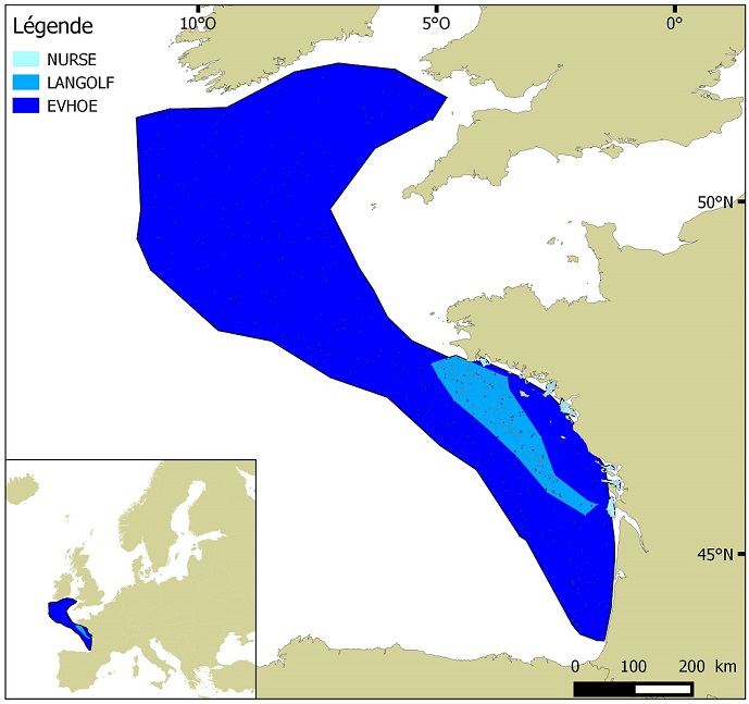
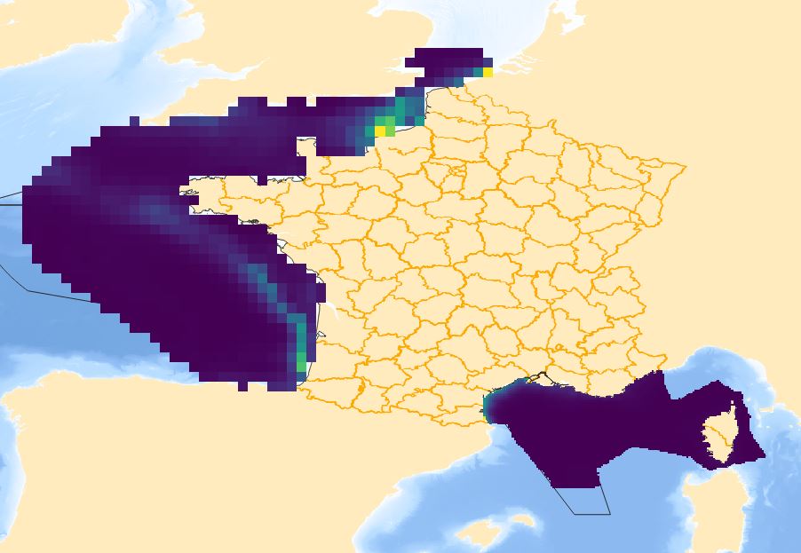
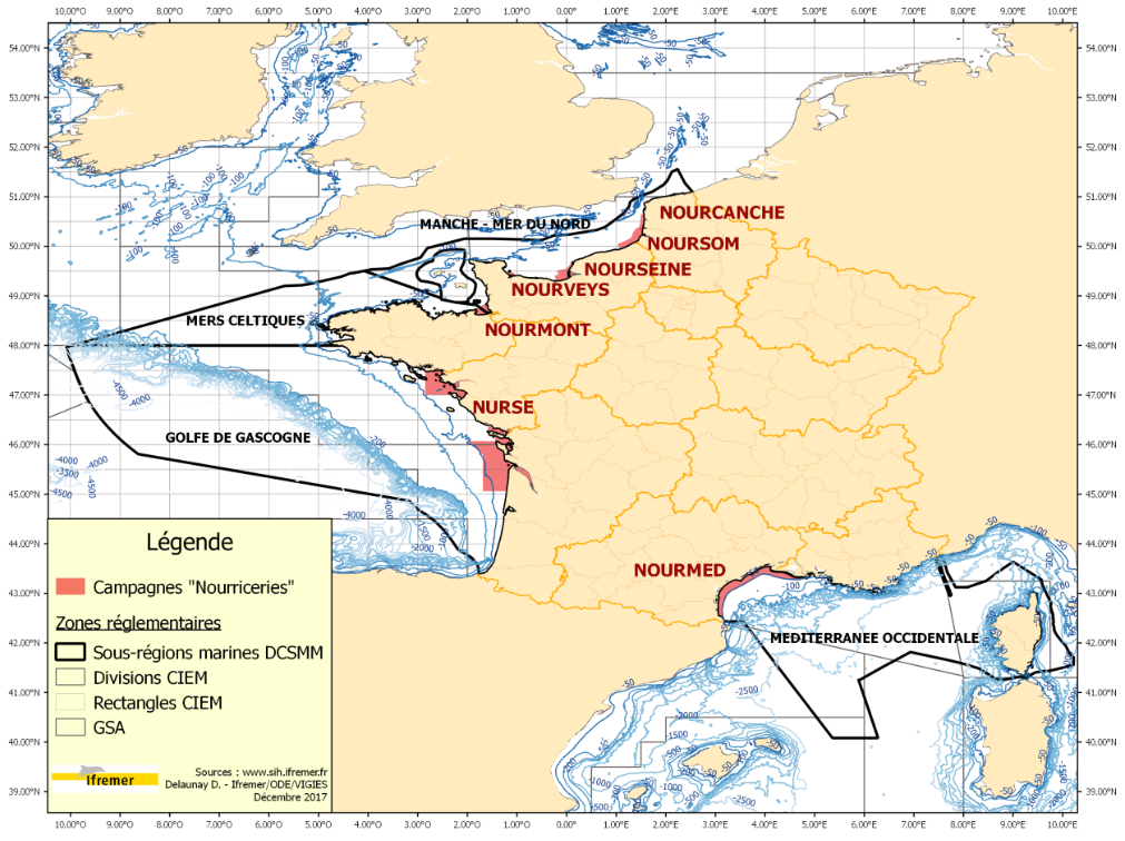
Distribution of benthic invertebrate species in Atlantic based on cumulative and interpolated relative abundance density data from fisheries surveys EVHOE (2008-2013), LANGOLF (2011-2013), NURSE (2000-2013), ORHAGO (2011-2015)
-

The DORIS programme (Data from Observations for the Recognition and Identification of Underwater Fauna and Flora) relies primarily on the network of divers from the Biology and Underwater Environment Commissions coordinated by the CNEBS of the FFESSM (French Federation of Underwater Studies and Sports).
-
-
-
DCSMM2024_D1C1 Taux de mortalité par captures accidentelles dans l’ensemble des sous-régions marines
-