Coast
Type of resources
Available actions
Topics
Keywords
Provided by
Representation types
Update frequencies
status
Scale
-

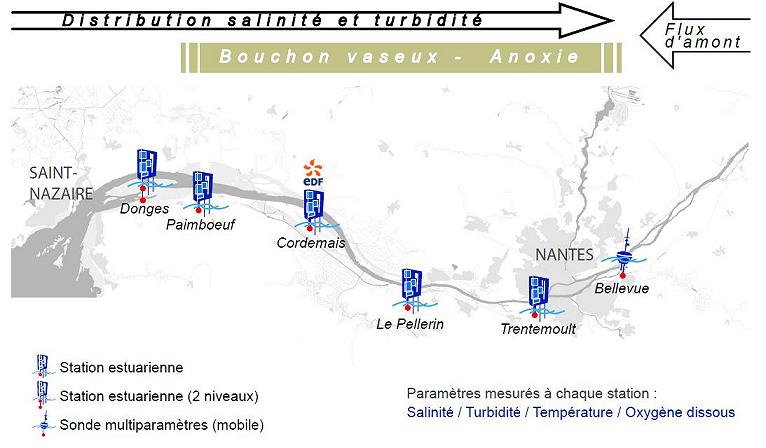
Monitoring System in the Loire Estuary SYVEL 2007 -
-

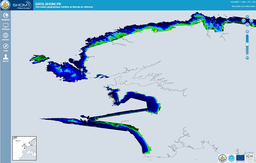
The Litto3D® project, along with the IGN, is responsible for producing detailed topographical and bathymetric information in mainland France so as to meet the needs of coastal and land-based stakeholders.
-

Resomar is a French national network of marine stations and observatories for exchanging and collaboration on scientific projects, studies and monitoring programmes. In 2007, the CNRS/INSU launched a programme with a view to giving new life to RESOMAR (formerly RNSM and then RNSLM), and to made it a strategic tool for enhancing coastal marine biology studies at a national level. This network has been given the task of scientifically collating and exploiting biological databased relating to the components of benthic and pelagic ecosystems on the French coast.
-

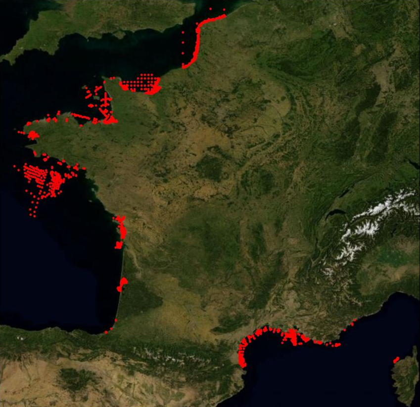
In order to manage coastal monitoring data, Ifremer has developed the Quadrige information system which connects a database to a wide array of tools for interpreting and designing information products. Quadrige is just one element of the Water Information System (SIE) www.eaufrance.fr and, as such, contributes toward the work of the French National Adminitrative Service for Water-Related Data (SANDRE) www.sandre.eaufrance.fr. The main aim of the Quadrige thematic databank is to manage and enhance data from coastal observation and monitoring networks. On a national level, Quadrige is today designated by the French Environment Ministry as the definitive information system for coastal waters, and the tool is therefore common to all of those working in the marine environment sector. The Quadrige databank is composed of data from the Quadrige database and products described or made available on the Envlit website. The Quadrige database contains results about most physical, chemical and biological environmental description parameters. The first data for example dates back to 1974 for the parameters relating to general water quality and contaminants, 1987 for phytoplankton and phycotoxins, 1989 for microbiology, from the early 2000s for the benthic zone. The data is permanently being updated. In Quadrige, an observation location is a geographical location where observations, measurements and/or samples will be taken. These locations can be located in a unique way thanks to their appearance on a map (polygon, line or point). A measurement location can be used by multiple programmes.
 Catalogue PIGMA