EMODNet Seabed Mapping
Type of resources
Topics
Keywords
Contact for the resource
Provided by
Years
Formats
Representation types
Scale
Resolution
-
Bathymetry of the Adriatic Sea compiled by CNR-ISMAR for the Italian side of the Adriatic Sea to illustrate the main geological features of the Western Adriatic Basin using a single beam echosouder.
-
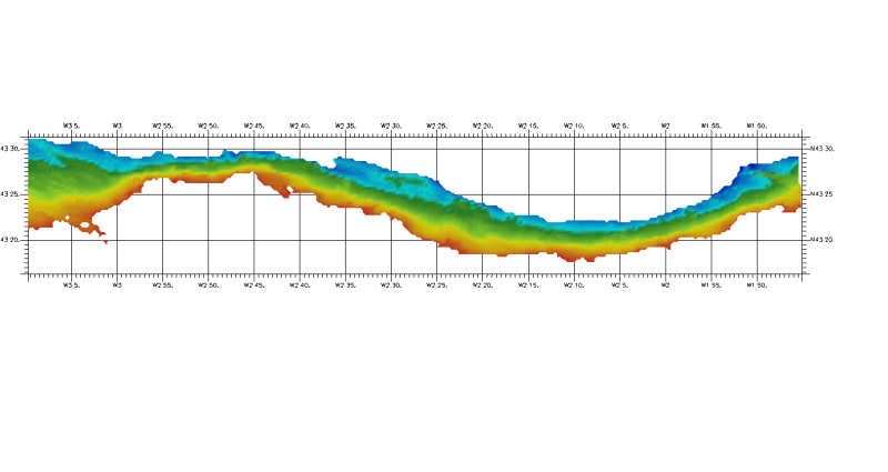
DTM of coast of Biscay and Guipuzcoa , approximately 250 m resolution. This DTM includes the whole area from coast line to deepest level (144,058 m)
-
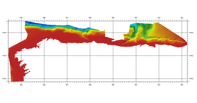
DTM of northwest cantabric margin, approximately 462,77 m. resolution.
-
DTM derived from hydrographic surveys performed within the scope of the Portuguese Continental Shelf Extension Project (UNCLOS)
-
Composite DTM of the Israel National Bathymetric Survey at 0.10824 minutes resolution
-
DTM of north cantabrian sea margin, approximately 460 m resolution. This DTM includes the whole area of Cantabria and part of Asturias one (depth from 100 to 4847,8m).
-
DTM of the northern cantabric margin, approximately 200 m. resolution. This DTM includes a band from 30 kilometres of the coast.
-
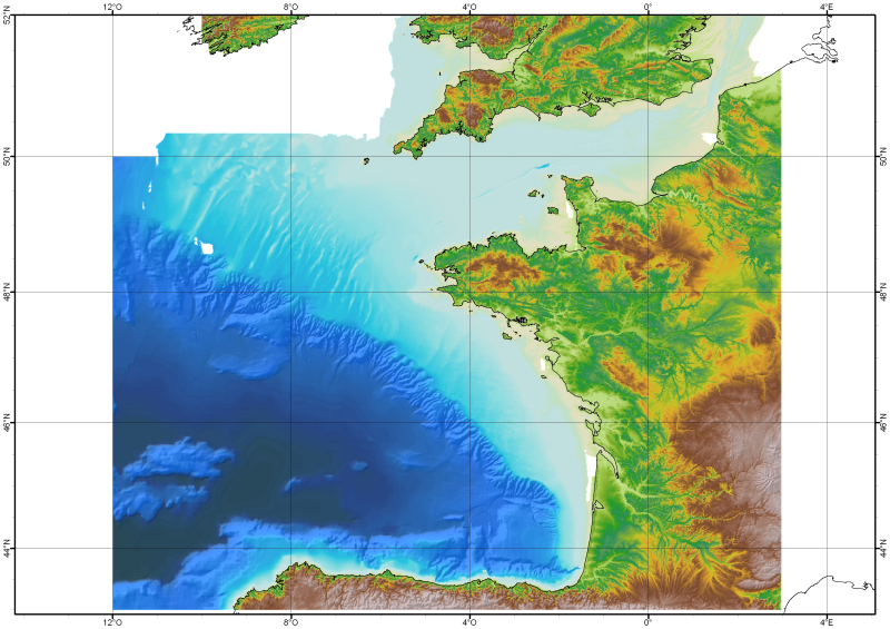
The Digital Terrain Model of the Bay of Biscaye and of the Channel is the result of the processing of a compilation of single and multibeam echosounder data, of DTMs and of chart countours produced before 2008 for hydrodynamic modeling..
-
Composite DTM of the Israel National Bathymetric Survey at 0.25 minutes resolution
-
DTM of continental margin of Cantabric Sea, approximately 200 m resolution. This DTM includes the whole area from coast line to deepest level (5216,74 m).