Energy
Type of resources
Topics
Keywords
Contact for the resource
Provided by
Years
Formats
Representation types
Update frequencies
Scale
-

This data set corresponds to the global offshore wind farm boundaries with the following attributes for each project: + WindfarmId (ID of the windfarm) + Name (Name of the windfarm) + Country (Country code) + Status (Status code) + WindfarmStatus (Windfarm Status or Project Status) + StatusComments (Comments on the Windfarm Status or Project Status) + CapacityMWMin (Capacity of the windfarm - Min) + CapacityMWMax (Capacity of the windfarm - Max) + NoTurbinesMin (Number of turbines - Min) + NoTurbinesMax (Number of turbines - Max) + Comments (Comments) + TurbineMWMin (Capacity of the turbine (set-up in the windfarm) - Min) + TurbineMWMax (Capacity of the turbine (set-up in the windfarm) - Max) + OtherNames (Other name of the windfarm) + CountryName (Country where the windfarm is set) + Lat (Geographic coordinate - centre latitude) + Lon (Geographic coordinate - centre longitude) + IsEstimatedLocation (This is where we know that a project exists but we don't know its exact location.) + IsOnHold + Developers (Developer(s) of the windfarm) + Owners (Owner of the windfarm) + Operators (Operator of the windfarm) + OffshoreConstructionStarts The frequency of the database release is monthly. This data set corresponds to the release of January 2020. This data set is strictly for internal EEA use as is subjected to a commercial license. Given the limited user subscriptions available, interested users should contact the SDI Team (sdi@eea.europa.eu) to be granted access to the data set.
-

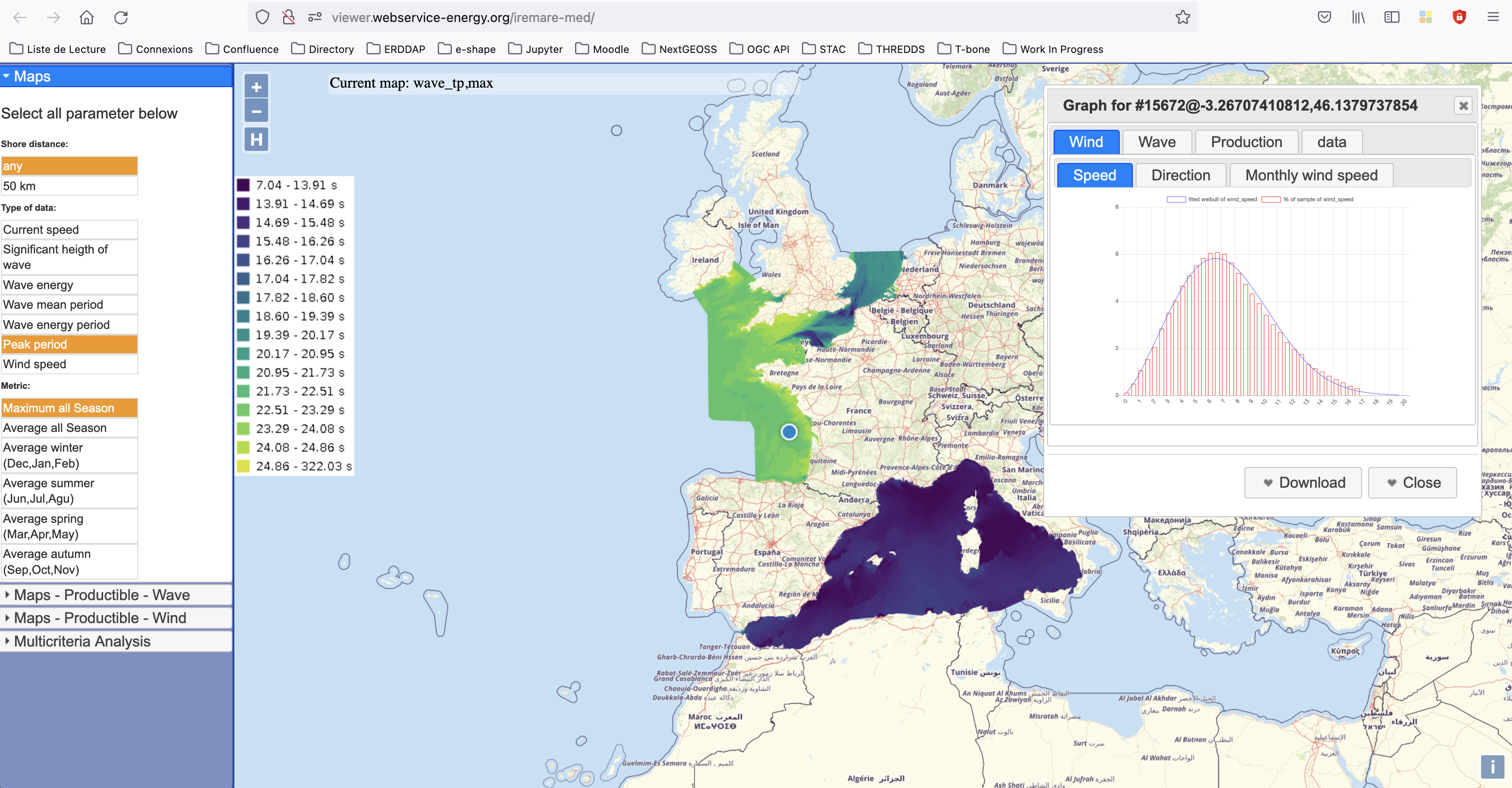
IREMARE (Marine Renewable Energie Resource Information) is a project funded by ADEME (Agency for the Environment and Energy Control, French Public Institution), convention n°1505C0027. It is dedicated to the production and dissemination of high level information about Marine Renewable Energy (MRE) resource. The information produced during IREMARE project covers the western coast of France (Atlantic, English Channel and North Sea) and can be used for national down to local scale studies. IREMARE-MED (Informations sur la Ressource pour les Energies MArines REnouvelables en MEDiterranée/Marine Renewable Energie Resource Information in the Mediterranean) is a project funded by ADEME (Agence de l'Environnement et de la Maitrise de l'Energie/Agency for the Environment and Energy Control, French Public Institution), convention n°1705C0016. It is dedicated to the production and dissemination of high level information about Marine Renewable Energy (MRE) resource. The data comes from the HOMERE database (Boudiere et al. 2013) for the zone Atlantic, Channel and North Sea and from the ANEMOC-2 dataset (Tiberi-Wadier et al. 2016) for the Mediterranean Sea.
 Catalogue PIGMA