Global Navigation Satellite System receivers
Type of resources
Available actions
Topics
Keywords
Contact for the resource
Provided by
Years
Formats
Representation types
Scale
Resolution
-
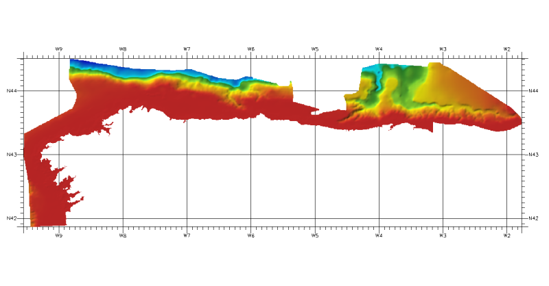
DTM of continental margin of Cantabric Sea, resolution 100 meters. This DTM includes the whole area from coast line to deepest level (5544,23 m).
-
DTM of north cantabrian sea margin, approximately 100 meters of resolution. This DTM includes the whole area of Cantabria and part of Asturias one (depth from 100 to 3253m).
-
Composite DTM of the Israel National Bathymetric Survey at 0.10824 minutes resolution
-
MESC-2005 CSR / To define in detail the morphology of the continenatal shelf margin and slope in order to identify instability areas potentially prone to gravitational collapse.
-
Composite DTM of the Israel National Bathymetric Survey at 0.25 minutes resolution
-
Composite DTM of South of Mediterraean margin in Spain at 100 meters of resolution.
-
Composite DTM Strait of Gibraltar margin, at approximately 100m of resolution