Spatial distribution
Type of resources
Available actions
Topics
Keywords
Contact for the resource
Provided by
Years
Formats
Representation types
Update frequencies
status
-
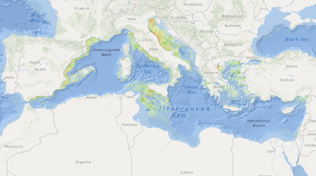
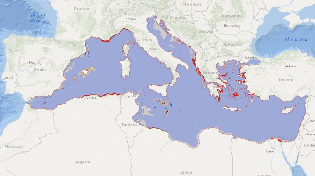
MEDSEA_CH5_Product_7 / Change level of disturbance from AIS data combined with habitat vulnerability

to deliver maps showing the extent of the trawling fishing grounds for identifying the changes in level of disturbance over the past ten years and identifying the gaps of fishing vessels’ tracking systems in the Mediterranean Sea
-

to deliver maps showing the extent of the trawling fishing grounds for identifying the areas which are most disturbed by bottom trawling and the changes in level of disturbance over the past ten years and identifying the gaps of fishing vessels’ tracking systems in the Mediterranean Sea
-

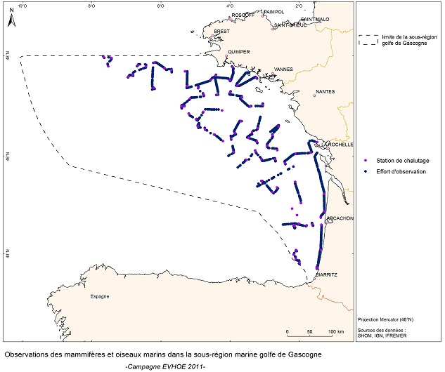
EVRWE is a multiannual survey with the following objectives: - Building up time series of abundance indices for the main dermersal and benthic species in the Celtic Sea and the Bay of Biscay. - Measuring inter-annual changes in their recruitment. - Mapping the spatial distributions of the species and their inter-annual variations, as well as looking for the origin of this variability (biotic and/or abiotic parameters, fisheries impact). - In the framework of the 'Bay of Biscay' challenge, the data collected are vital for understanding changes in faunal communities.
-

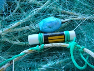
The national multidisciplinary RECOPESCA programme is a collaboration between volunteer fishermen and scientists for the automated collection of geolocated physical and fisheries environmental data from the coastal domain. The principle consists of installing sensors on gear to measure environmental parameters, from the surface to the bottom, and to record detailed data on fishing activity and effort. The data acquired feeds the operational coastal oceanography database (coastal component of Coriolis) and the fisheries database of the SIH (Harmonie). The programme thus responds to research issues (physical and fisheries), the implementation of the ecosystem approach to fisheries, support for public policies (DCSMM, DCF, CMEMS) and Ifremer's innovation in the coastal field.
 Catalogue PIGMA