Turbidity
Type of resources
Available actions
Topics
Keywords
Contact for the resource
Provided by
Representation types
Update frequencies
status
Scale
-
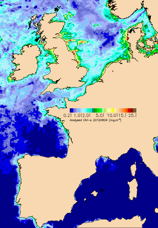
Daily maps of chlorophyll, mineral materials in suspension and turbidity (in addition to the KPAR attenuation coefficient) in photosynthesis wavelength) are drawn up from marine reflectance data (water colour) provided directly by space agencies (NASA, Agence Spatiale Européenne, EUMETSAT), or by the MyOcean/GMES project on which Ifremer collaborates. Multi sensor maps are also offered by interpolation in order to provide information, even in the presence of cloud cover. Reflectance data is processed by Ifremer algorithms and will enhance an archive which began in 1998. The data is continuously validated thanks to in situ measurements which are mostly provided by equipped buoys or the REPHY network.
-
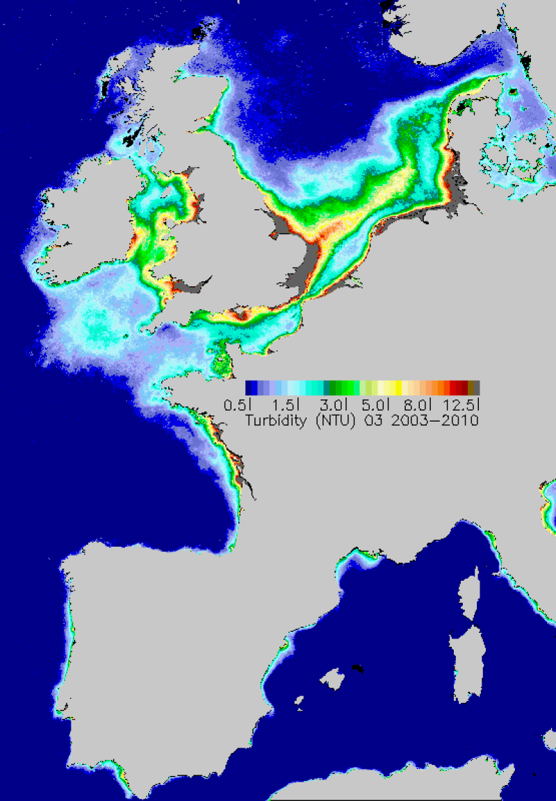
Average monthly turbidity maps made during the period 2003-2010. Turbidity is estimated from the concentrations of inorganic suspended materials and chlorophyll-a.
-
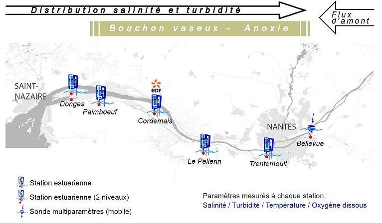
Monitoring System in the Loire Estuary SYVEL 2007 -
-
The MAGEST observation network aims to continuously monitor the physico-chemical quality of the waters of the estuaries of Northern Aquitaine. In 2023, this regional network is composed of 12 stations.
-
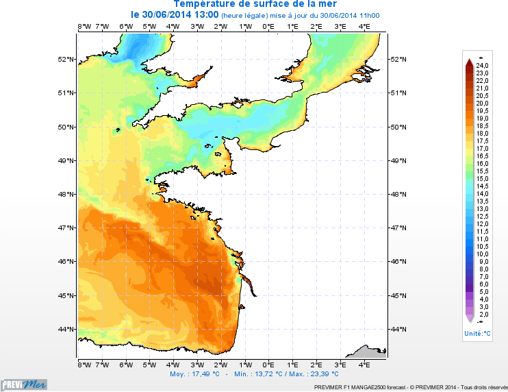
3D PREVIMER Modelling : current, temperature, salinity and turbidity in the English Channel and Bay of Biscay Modélisation Period 2010-2013 + 4-day forecasts
-
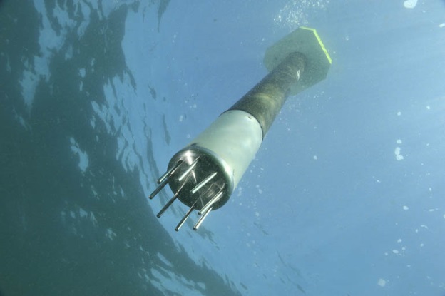
ARVOR-C is a subsurface profiling float designed to operate in coastal environments and to perform oceanographic measurements like a moored installation. Its design has been improved to reduce its drift thanks to a seabed claw and anti-drift claws, an optimized profile speed (~ 25 cm / s) and a short-period data transmission. It is able to process more than 300 profiles and real-time data transmission via Iridium satellite system.
-
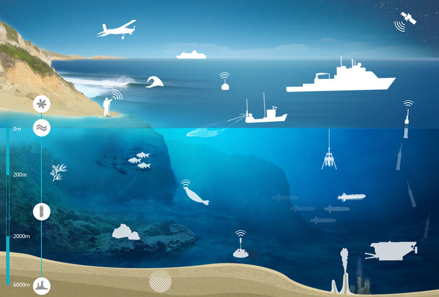
The SISMER (Scientific Information Systems of the Sea) is the Ifremer service in charge of the management of many marine databases or information systems which Ifremer is in charge of implementing.
-
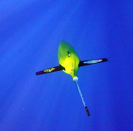
The Everyone's Gliding Observatories (EGO) initiative is a gathering of several teams of oceanographers, interested in developing the use of gliders for ocean observations. EGO started in Europe with members from France, Germany, Italy, Norway, Spain, and the United Kingdom. The partners of EGO have been funded by both European and national agencies to operate gliders for various purposes and at different sites. Coordinated actions are being set up for these sites in order to demonstrate the capabilities of a fleet of gliders for sampling the ocean, with a given scientific and/or operational objective. Gliders were developed since the 90’s to carry out in-situ observations of the upper 1km of the ocean, filling the gaps left by the existing observing systems. Gliders look like small autonomous robotic underwater vehicles which that uses an engine to change their buoyancy. While gliding from surface to about 1000 meters, gliders provide real-time physical and biogeochemical data along their transit. They observe temperature, salinity, pressure, biogeochemical data or acoustic data.
-
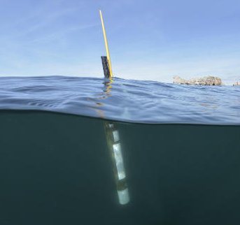
Argo is a global array of 3,000 free-drifting profiling floats that measures the temperature and salinity of the upper 2000 m of the ocean. This allows, for the first time, continuous monitoring of the temperature, salinity, and velocity of the upper ocean, with all data being relayed and made publicly available within hours after collection. The array provides 100,000 temperature/salinity profiles and velocity measurements per year distributed over the global oceans at an average of 3-degree spacing. Some floats provide additional bio-geo parameters such as oxygen or chlorophyll. All data collected by Argo floats are publically available in near real-time via the Global Data Assembly Centers (GDACs) in Brest (France) and Monterey (California) after an automated quality control (QC), and in scientifically quality controlled form, delayed mode data, via the GDACs within six months of collection.
 Catalogue PIGMA