coastal waters
Type of resources
Available actions
Topics
Keywords
Contact for the resource
Provided by
Years
Formats
Representation types
-

The PHYTOBS-MARCOBOLO dataset comprises long-term time series on marine microphytoplankton, from 2003 to 2021, along the entire French metropolitan coastline. Microphytoplankton data cover microscopic taxonomic identifications and counts. The PHYTOBS-MARCOBOLO dataset corresponds to a dataset extracted from the PHYTOBS network (DOI:10.17882/85178). The PHYTOBS network provides the scientific community and stakeholders with validated and qualified data on the biomass, abundance and composition of marine microphytoplankton in coastal and lagoon waters, with the aim of supporting scientific research. PHYTOBS-MARCOBOLO is a dataset used as part of the Horizon Europe MARCO-BOLO project (https://marcobolo-project.eu/), in which we are currently working to understand and analyze multi-decadal trends in coastal and marine biodiversity on a European scale. The PHYTOBS-MARCOBOLO dataset gathers data from 18 sampling sites, selected from the PHYTOBS-Network dataset according to requirements of time series quality and geographical location of sampling sites established as part of the MARCO-COLO project. This dataset was also formatted according to a template imposed for the European project.
-

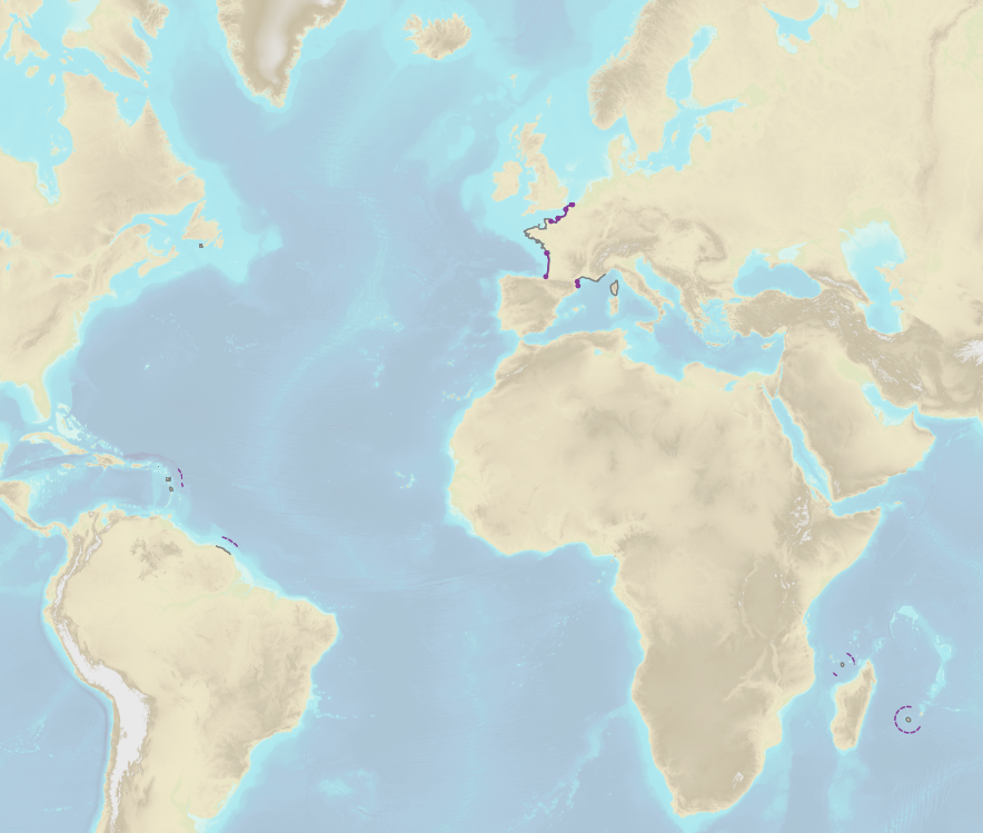
French Ministry of Agriculture and Food / DRASSM - Shom<br /> The product "Limits related to fishery uses" contains the limits related to fishery uses as defined in the French or European legislations. Those limits are managed by the Directorate for Sea Fisheries and Aquaculture (DPMA) of the Ministry of Agriculture and Food. <br /> Those limits are divided into three categories : <br /> - the inner limit of the coastal waters (6 nautical miles) ; <br /> - the 3-nautical-mile limit ; <br /> - the limit of fisheries for overseas territories (100 nautical miles).<br /><br /> The product "Limits related to fishery uses" is to use in addition to the digital product “Maritime Limits and Boundaries” of Shom (French: “Délimitations maritimes”) which represents the limits of the French maritime spaces of sovereignty or jurisdiction through the World.<br /> The product “Maritime Limits and Boundaries” (French: “Délimitations maritimes”) can be viewed on data.shom.fr (Maritime boundaries Category) and downloaded on the French national portal of maritime limits (https://maritimelimits.gouv.fr).
 Catalogue PIGMA