CNRS
Type of resources
Available actions
Topics
Keywords
Contact for the resource
Provided by
Years
Formats
Representation types
Update frequencies
status
Scale
-

The Arcachon Bay is a unique and ecologically important meso-tidal lagoon on the Atlantic coast of south-west France. The Arcachon Bay has the largest area of dwarf seagrass (Z. noltei) in Europe, the extent of which was stable in their extent between the 1950s and 1990s, but a decline in seagrass was observed in mid-2000. The decline of Zostera (seagrass) may have a significant impact on sedimentation in this coastal ecosystem rich in marine life. Interface cores were collected in September 2022 to determine sediment and mass accumulation rates (SAR, MAR) in the Arcachon Bay. Ten study areas were selected, distributed over most of the areas where seagrass meadows are actually observed. Two sites were visited each time, one with the presence of Zostera noltei in good condition (Healthy) and the other where the sediment was bare (Bare). Maximum water heights during spring tides range from 3.44 m for the deepest site (Garrèche) to 2.09 m for the shallowest site (Fontaines). A total of 20 sediment cores were sampled and carefully extruded every 1 cm from the top to the bottom of the core. The sediment layers were used to determine dry bulk density and selected radioisotope activities: DBD, 210Pb, 226Ra, 137Cs, 228Th and 40K expressed as %K).
-

The COriolis Ocean Dataset for Reanalysis (hereafter "CORA") product is a global dataset of in situ temperature and salinity measurements. The CORA observations comes from many different sources collected by Coriolis data centre in collaboration with the In Situ Thematic Centre of the Copernicus Marine Service (CMEMS INSTAC). The observation integrated in the CORA product have been acquired both by autonomous platforms (Argo profilers, fixed moorings , gliders , drifters, sea mammals) , research or opportunity vessels (CTDs, XBTs, ferrybox). From the near real time CMEMS In Situ Thematic Centre product validated on a daily and weekly basis for forecasting purposes, a scientifically validated product is created. It s a "reference product" updated on a yearly basis since 2007. This product has been controlled using an objective analysis (statistical tests) method and a visual quality control (QC). This QC procedure has been developed with the main objective to improve the quality of the dataset to the level required by the climate application and the physical ocean re-analysis activities. It provides T and S weekly gridded fields and individual profiles both on their original level with QC flags and interpolated level. The measured parameters, depending on the data source, are : temperature, salinity. The reference level of measurements is immersion (in meters) or pressure (in decibars). CORA contains historical profiles extracted from the EN.4 global T&S dataset, World Ocean Atlas, SeaDataNet, ICES and other data aggregators . The last version of the CORA product are also available freely from the Copernicus WEB site : - Global Ocean- CORA- In-situ Observations Yearly Delivery in Delayed Mode - Global Ocean- Delayed Mode gridded CORA- In-situ Observations objective analysis in Delayed Mode
-

SpiArcBase is a software developed for the treatment of Sediment Profile images (SPIs). Sediment Profile Images (SPIs) are widely used for benthic ecological quality assessment under various environmental stressors. The processing of the information contained in SPIs is slow and its interpretation is largely operator dependent. SpiArcBase enhances the objectivity of the information extracted from SPIs, especially for the assessment of the apparent Redox Potential Discontinuity (aRPD). This software allows the user to create and manage a database containing original SPIs and corresponding derived pieces of information. Once you have downloaded it, you can ask for help and stablish a helpdesk.
-
Le critère de définition du bon état écologique pour le descripteur D1 – Habitats pélagiques est le critère D1C6 : « les caractéristiques du type d'habitat, notamment sa structure biotique et abiotique et ses fonctions, ne subissent pas d'effets néfastes dus à des pressions anthropiques ». Un des indicateurs retenus, développés pour les communautés phyto- et zooplanctoniques, est l’indicateur PH1, basé sur la dynamique comparée de groupes fonctionnels (ou paires de formes de vie). Les échelles d’évaluation géographiques considérées sont les masses d’eau côtières de la Directive Cadre sur l’Eau (DCE) à la côte et les paysages marins mensuels au large, combinés sur une seule couche annuelle pour les besoins de l’évaluation. Le PH1 est en cours de développement et d’adaptation aux données disponibles dans les SRM, la période de référence et les seuils restent à définir pour cet indicateur. L’évaluation du bon état écologique n’a donc pu être effectué pour ce premier cycle DCSMM. Les données sont présentées sous la forme de fichiers géoréférencés de type shapefile.
-
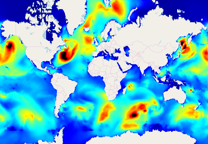
IOWAGA sea-states forecast best estimate generated by the wave model WAVEWATCH-III and forced by ECMWF winds on the Global grid from 2017 to now
-
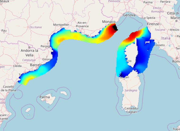
IOWAGA sea-states forecast best estimate generated by the wave model WAVEWATCH-III and forced by ECMWF winds on the North mediterranean grid from 2017 to now
-
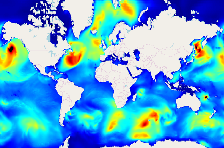
IOWAGA sea-states hindcast database generated by the wave model WAVEWATCH-III and forced by CFSR winds on the Global grid over 1990-2012 period.
-
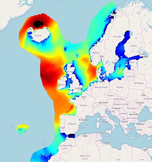
IOWAGA sea-states forecast best estimate generated by the wave model WAVEWATCH-III and forced by ECMWF winds on the North East Atlantic grid from 2017 to now
-
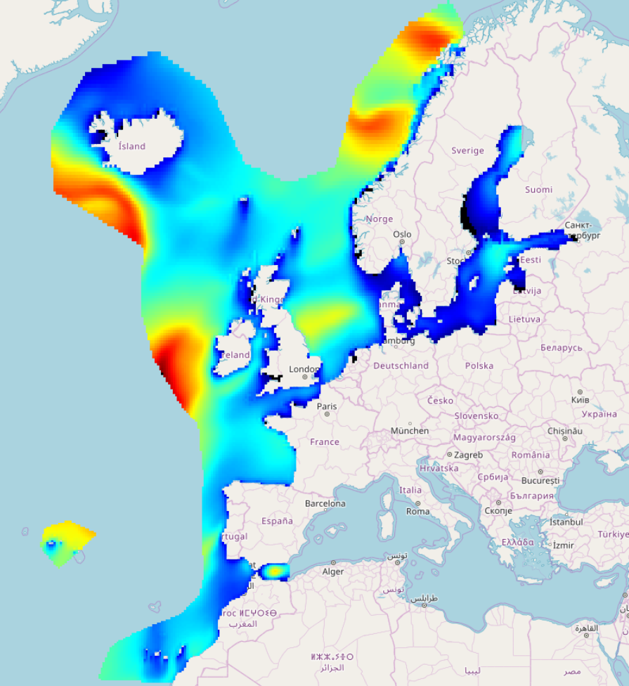
IOWAGA sea-states hindcast database generated by the wave model WAVEWATCH-III and forced by CFSR winds on the North East Atlantic grid over 1990-2012 period.
-

IOWAGA sea-states hindcast database generated by the wave model WAVEWATCH-III and forced by ECMWF winds on the Global grid over 1990-2012 period.
 Catalogue PIGMA