2 degree
Type of resources
Available actions
Topics
Keywords
Contact for the resource
Provided by
Years
Formats
Representation types
Update frequencies
status
Scale
Resolution
-

-

-

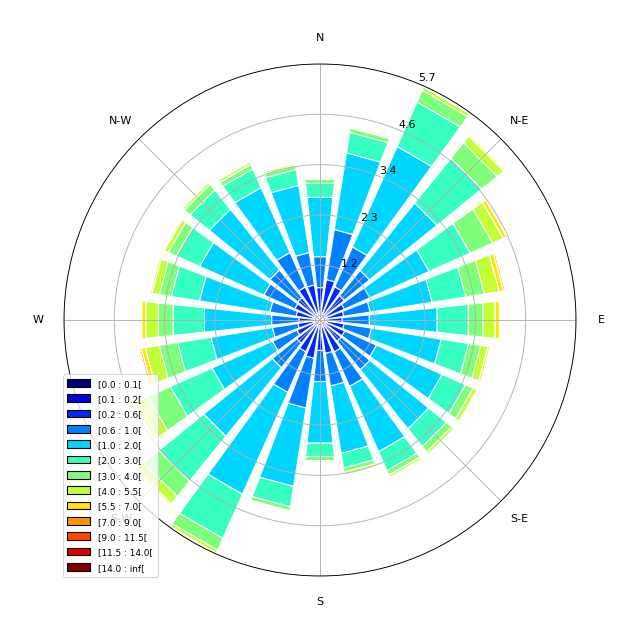
The main objective of the SWIM Level 3 (L3) product is to provide global gridded wave statistics from the along-track directional wave spectra measures, as observed with SWIM instrument onboard CFOSAT. CFOSAT (Chinese French Ocean SATellite) is a french-chinese mission launched in 2018, whose aim is to provide wind (SCAT instrument) and wave (SWIM instrument) measurements over the sea surface. The processing uses the integrated parameters (wave length, significant wave height, direction) of the wave systems associated with the individual partitions retrieved from SWIM wave spectra, computing monthly statistics such as distribution, min, max, mean and median over a global 2 degree resolution grid. Three sub-products are generated separately for each SWIM beam (from 4° to 10°) from respectively the SWIM Level 2 spectra produced by the CWWIC center (CNES), the SWIM Level 2S spectra produced by the IWWOC center (Ifremer) and forecast spectra produced from WaveWatch3 wave model at Ifremer as an independent source for comparison. The SWIM level 3 dataset is generated in delayed mode. It is currently mainly meant as a validation dataset aiming at inter-comparing the different SWIM Level 2 between each other, with an independent model (here WaveWatch3) or other external similar wave statistics products. The SWIM L3 dataset is generated and distributed by Ifremer / CERSAT in the frame of the Ifremer Wind and Wave Operation Center (IWWOC) co-funded by Ifremer and CNES and dedicated to the processing of the delayed mode data of CFOSAT mission.
-

-

-

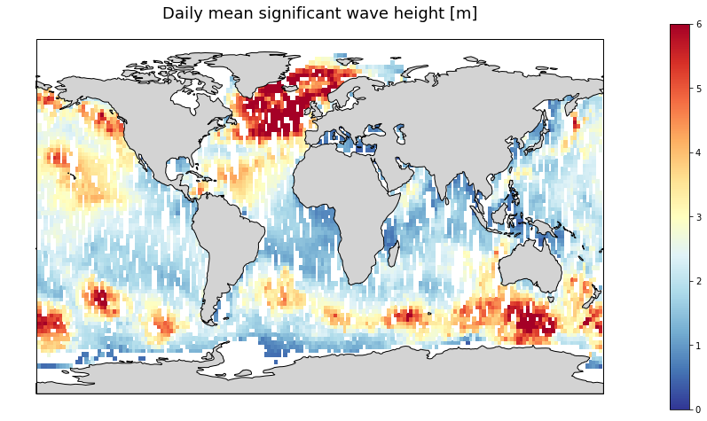
Produits altimétriques multi-missions combinées en temps quasi-réel de hauteurs significatives des vagues. Ce jeu de données combine les données SWH (Significant Wave Height) le long de la trace des missions suivantes : Jason-3, Sentinel-3A, Sentinel-3B, SARAL/AltiKa, Cryosat-2 et CFOSAT. Seules les données valides sont incluses dans ce produit grillé dune résolution horizontale de 2° et est produit quotidiennement. Différents champs SWH sont produits : - Les champs VAVH_DAILY sont des statistiques quotidiennes calculées à partir de toutes les mesures de niveau 3 disponibles le long de la trace, de 00 UTC à 23:59 UTC ; - Le champ VAVH_INST fournit une estimation du champ d'onde instantané à 12:00 UTC (midi), en utilisant toutes les mesures disponibles de niveau 3 le long de la trace et en tenant compte de leur proximité spatiale et temporelle.
 Catalogue PIGMA