Format
fichiers de formes ESRI
Type of resources
Topics
Provided by
Years
Formats
Representation types
Resolution
From
1
-
1
/
1
-

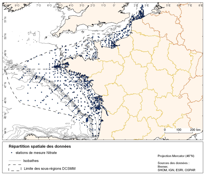
Spatial distribution for nutrients data (silicate, nitrate, nitrite, ammonium and phosphate) for all maritime regions in the English Channel and North Sea, the Celtic Seas and the Bay of Biscay. The temporal extent of the data is from 1930 to 2010, most being between 1974 and 2007 with a peak in 1999.
 Catalogue PIGMA