/Metropolitan France
Type of resources
Available actions
Topics
Keywords
Contact for the resource
Provided by
Years
Formats
Representation types
Update frequencies
status
Scale
-
Landslides and gravitational features mapped within French metropolitan EEZ at 1 : 250 000 in the framework of work-package 6 (Geological Events and Probabilities) of the european project EMODNet Geology. These datasets were delivered during the phase 2 of the project.
-
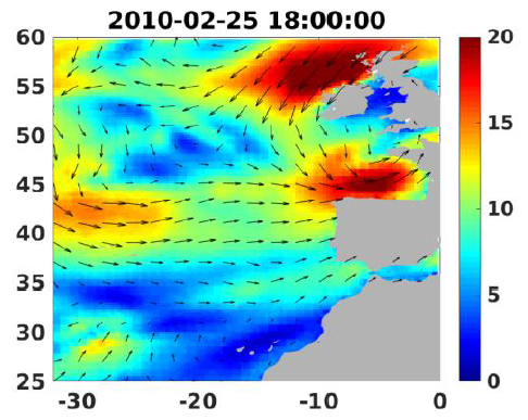
Wind analyses, estimated over the North Atlantic Ocean with a focus on some specific regions, are one the main ARCWIND (http://www.arcwind.eu/) project deliverables. They are estimated from various remotely sensed wind observations in combination with numerical model (WRF), with regular space (0.25deg in latitude and longitude), and time (00h:00, 06h:00, 12h:00, 18h:00 UTC), and based the method described in (Bentamy A., A. Mouche, A. Grouazel, A. Moujane, M. A. Ahmed. (2019): Using sentinel-1A SAR wind retrievals for enhancing scatterometer and radiometer regional wind analyses . International Journal Of Remote Sensing , 40(3), 1120-1147 . https://doi.org/10.1080/01431161.2018.1524174).
-
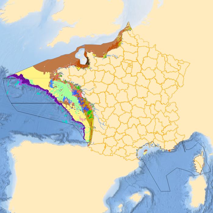
Sediment substrate maps at different scales, of the French metropolitan EEZ produced in the work-package 3 the European project EMODNet Geology (phase IV). Available scales : - 1 : 1 000 000 - 1 : 250 000 - 1 : 100 000 - 1 : 50 000 - 1 : 20 000 - 1 : 15 000 - 1 : 10 000 - 1 : 5 000 Bibliographic references : - Coltman, N., Gilliland, P. & van Heteren, S. 2007. What can I do with my map? In: MESH Guide to Habitat Mapping, MESH Project, 2007, JNCC, Peterborough. Available online at: (http://www.searchmesh.net/default.aspx?page=1900) - Foster-Smith, R., Connor, D. & Davies, J. 2007. What is habitat mapping? In: MESH Guide to Habitat Mapping, MESH Project, 2007, JNCC, Peterborough. Available online at: (http://www.searchmesh.net/default.aspx?page=1900) - Väänänen, T. (ed), Hyvönen, E., Jakonen, M., Kupila, J., Lerrsi, J., Leskinen, J., Liwata, P., Nevalainen, R., Putkinen, S., Virkki, H. 2007. Maaperän yleiskartan tulkinta- ja kartoitusprosessi. Maaperän yleiskartoitus –hankkeen sisäinen raportti. 17 p.
-
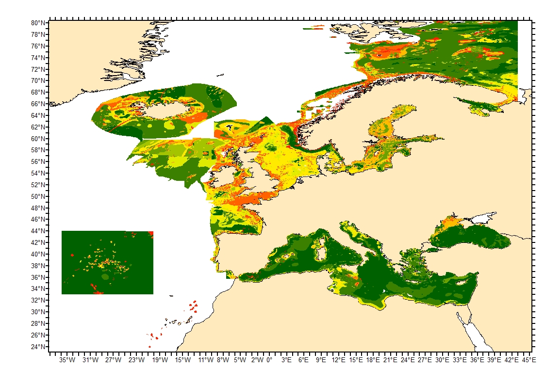
Sediment average grain size in the European North-East Atlantic and Mediterranean waters was generated from Euseamap 2023 sediment categories. This rough granulometry estimate may be used for habitat models at meso- and large scale.
-

Definition of Classified Shellfish Farming Areas. Boundaries are defined by prefectural classification decrees provided to the International Office for Water (OIEau) by the Departmental Offices for Maritime affairs (DDAM) Annual Layer created by OIEau.
-
-
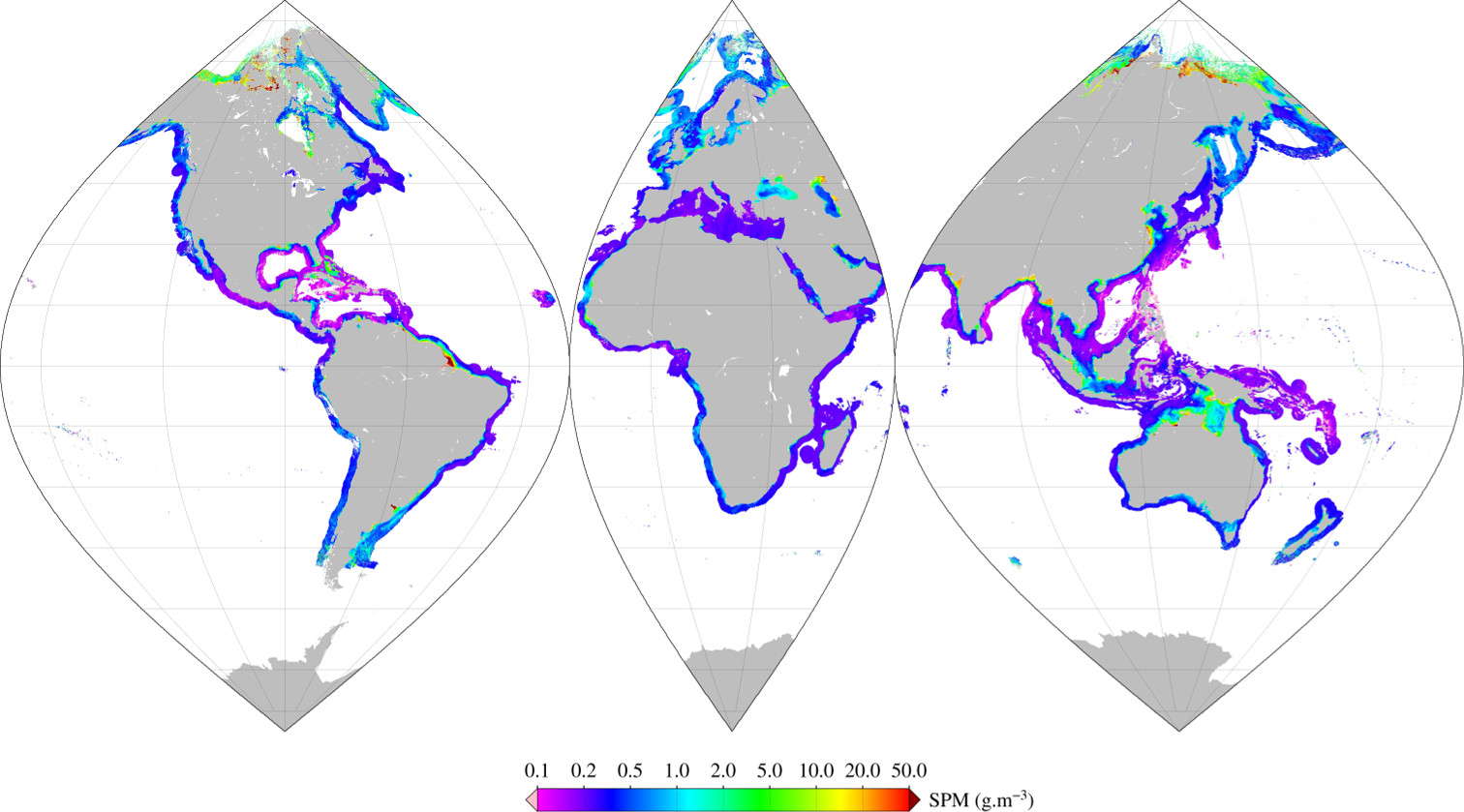
Monthly mean of Suspended Particulate Matter (2002-2012) using Han (2016) algorithm for coastal areas, at global scale, for MERIS sensor, with POLYMER atmospheric corrections. Ref: Bing Han, Hubert Loisel, Vincent Vantrepotte, Xavier Mériaux, Philippe Bryère,Sylvain Ouillon, David Dessailly, Qianguo Xing and Jianhua Zhu. Development of a Semi-Analytical Algorithm for the Retrieval of Suspended Particulate Matter rom Remote Sensing over Clear to Very Turbid Waters Remote Sens. 8, 211; doi:10.3390/rs8030211 2016
-
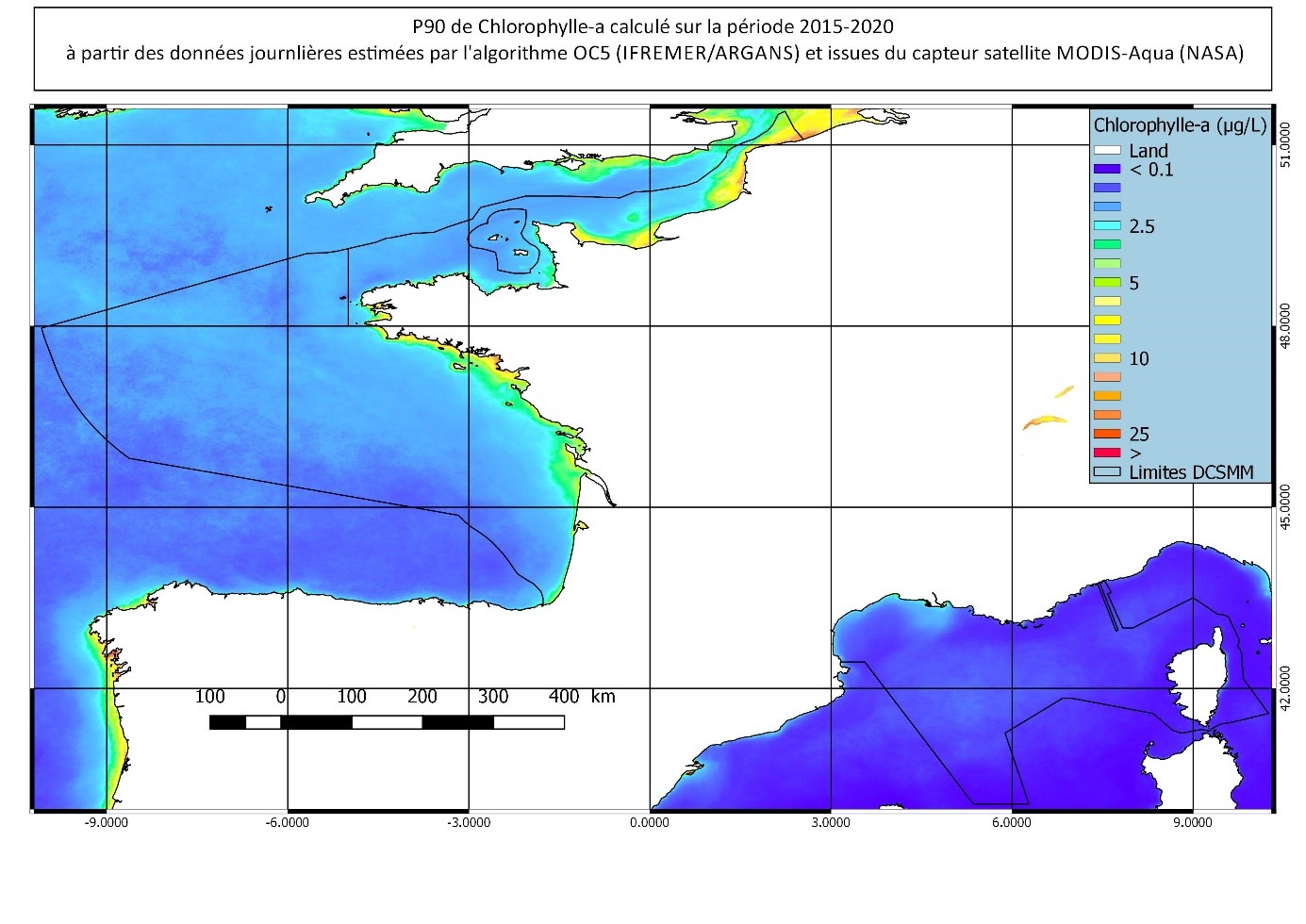
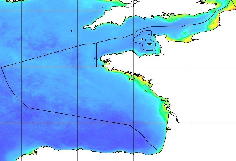
90th percentile calculated during the productive period of the WFD (March-October) from 2015 to 2020, from the MODIS Chl-a algorithm processed by OC5 IFREMER/ARGANS (Gohin et al 2002, Gohin 2011).
-
-
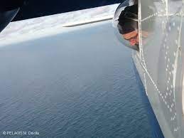
The associated data highlights the sampling programme for the data acquisition campaign of Observation on the Aerial Platform for the SAMM2 campaign (Aerial Marine Megafauna Monitoring) conducted by the PELAGIS observatory.
 Catalogue PIGMA