 Catalogue PIGMA
/Metropolitan France/Bay of Biscay
Type of resources
Available actions
Topics
Keywords
Contact for the resource
Provided by
Years
Formats
Representation types
Update frequencies
status
Scale
Resolution
-
The dataset includes age- and length-based catch per unit effort data for commercial fish species collected by the French trawl survey EVHOE.
-
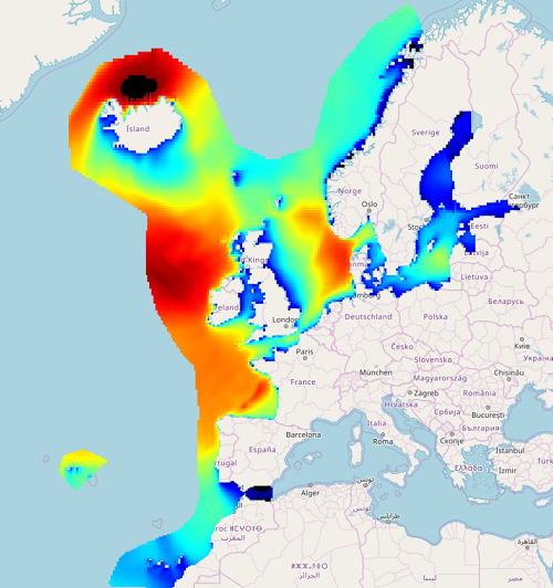
IOWAGA sea-states hindcast database generated by the wave model WAVEWATCH-III and forced by ECMWF winds on the North East Atlantic grid over 1990-2012 period.
-
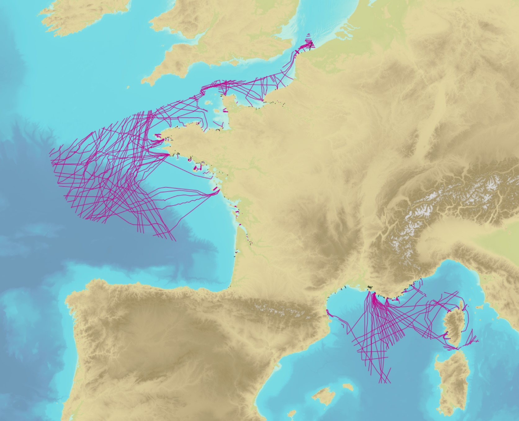
The product contains a description of submarine cables and pipelines brought to the attention of Shom on French areas of responsibility. These are 2D linear objects of the seabed that divide into two categories: • The submarine cables: these are cables placed on the seabed where electricity or information (telecommunication) flows. They represent the vast majority of objects (more than 90%); • Emissaries and submarine pipes: these are pipes that allow the discharge, sampling or circulation of fluids.
-
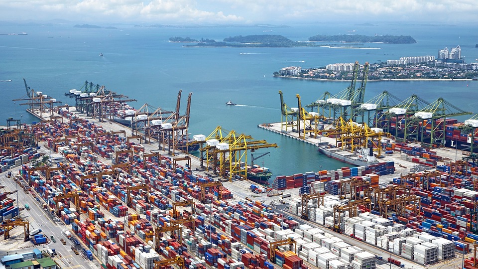
World list of seaports. In its 2021 version, the repository includes 13709 ports for 187 countries. The list of seaports has been drawn up on the basis of the information available in the European reference system of places used in the framework of the Common Fisheries Policy and, more particularly, by the Electronic Recording and Reporting System (ERS), the list of ports identified by the UNECE (2021-1). An assessment of the infrastructures present along the coastline made it possible to identify other ports that were not listed. Each geographical position has been verified with Google Earth in WGS84. Each port is associated with information relating to the country (ISO 3 coding), the UNECE or ERS 5-character coding, the name, the geographical position in WGS84 (latitude and longitude), the status of the port indicating whether it is referenced by Unece (UNECE), by the EU/ERS (ERS) or by both (UNECE/ERS) In case the port is not referenced by UNECE or ERS, the status is N/A. For French ports, the reference system integrates the ports of the French overseas departments and territories with the national codification. Inland ports have also been integrated in 2021.
-
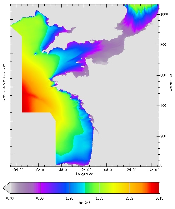
IOWAGA sea-states hindcast database generated by the wave model WAVEWATCH-III and forced by ECMWF winds on the French coast of the Atlantic ocean unstructured grid over 2008-2018 period.
-
-
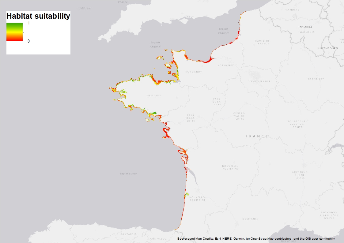
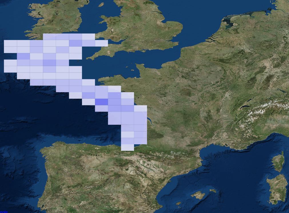
Ten Random Forest models were fitted in order to characterise the environmental niche and to predict the potential spatial distribution of Zostera marina along the French western seaboard. 3 rasters are provided: 1) Habitat suitability index (values ranging from 0 to 1 when conditions are estimated to be optimal), 2) standard deviation around the mean habitat suitability index, and 3) binary suitability estimates (0= not suitable, 1=suitable). These model estimates indicate areas where the species may occur and are overall consistent with field observations but note that these maps are model-based and do not correspond to actual field observations.
-

The dataset includes age- and length-based catch per unit effort data for commercial fish species collected by the French trawl survey EVHOE.