/Physical Environment/Climatology
Type of resources
Available actions
Topics
Keywords
Contact for the resource
Provided by
Years
Formats
Representation types
Update frequencies
status
Scale
Resolution
-
Climatologie de température/salinité de l'océan global basée sur une analyse objective: résolution 1/4° et 1°
-
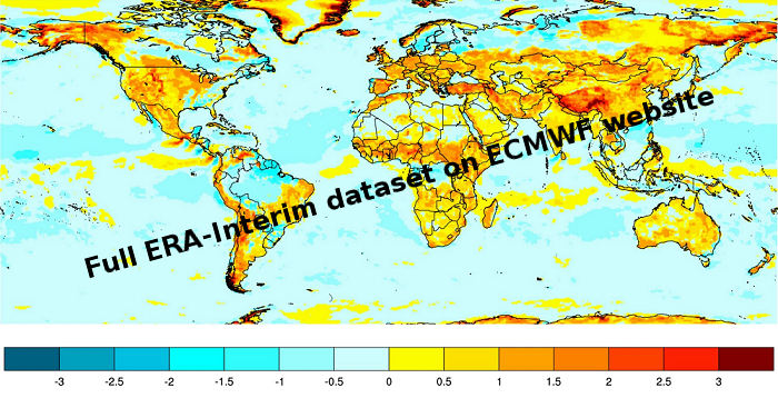
ERA-Interim is a dataset, showing the results of a global climate reanalysis from 1979 to date. ERA-Interim continues to be updated in near-real-time as new data becomes available.
-
The CORE-II simulations provide a framework to evaluate ocean model performance, to study mechanisms of ocean phenomena and their variability from seasonal to decadal timescales, to identify forced variability changes, and to develop mechanistic descriptions of observed climate variability and change.
-
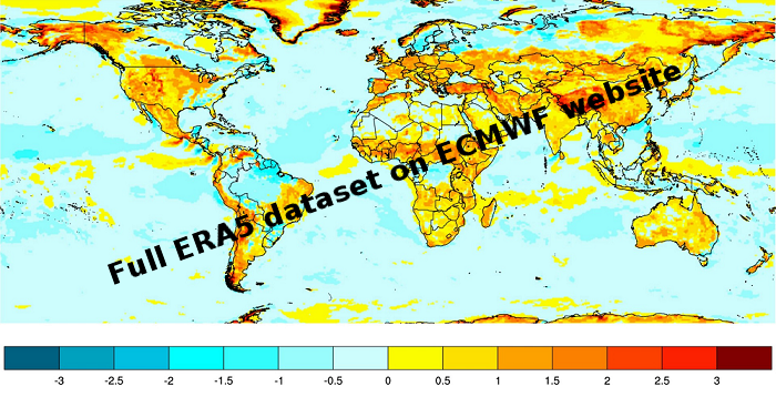
ERA5 is a climate reanalysis dataset, covering the period 1979 to present. ERA5 is being developed through the Copernicus Climate Change Service (C3S). Extracted data available here are one hourly at a regular grid lat,lon 0.25*0.25
-
The National Centers for Environmental Prediction (NCEP) Climate Forecast System (CFS) is initialized four times per day (0000, 0600, 1200, and 1800 UTC). NCEP upgraded their operational CFS to version 2 on March 30, 2011. This is the same model that was used to create the NCEP Climate Forecast System Reanalysis (CFSR), and the purpose of this dataset is to extend CFSR. The 6-hourly atmospheric, oceanic and land surface analyzed products and forecasts, available at 0.2, 0.5, 1.0, and 2.5 degree horizontal resolutions, are archived here beginning with January 1, 2011 as an extension of CFSR.
-

ERA‐40 is a re‐analysis of meteorological observations from September 1957 to August 2002 produced by the European Centre for Medium‐Range Weather Forecasts (ECMWF)
-
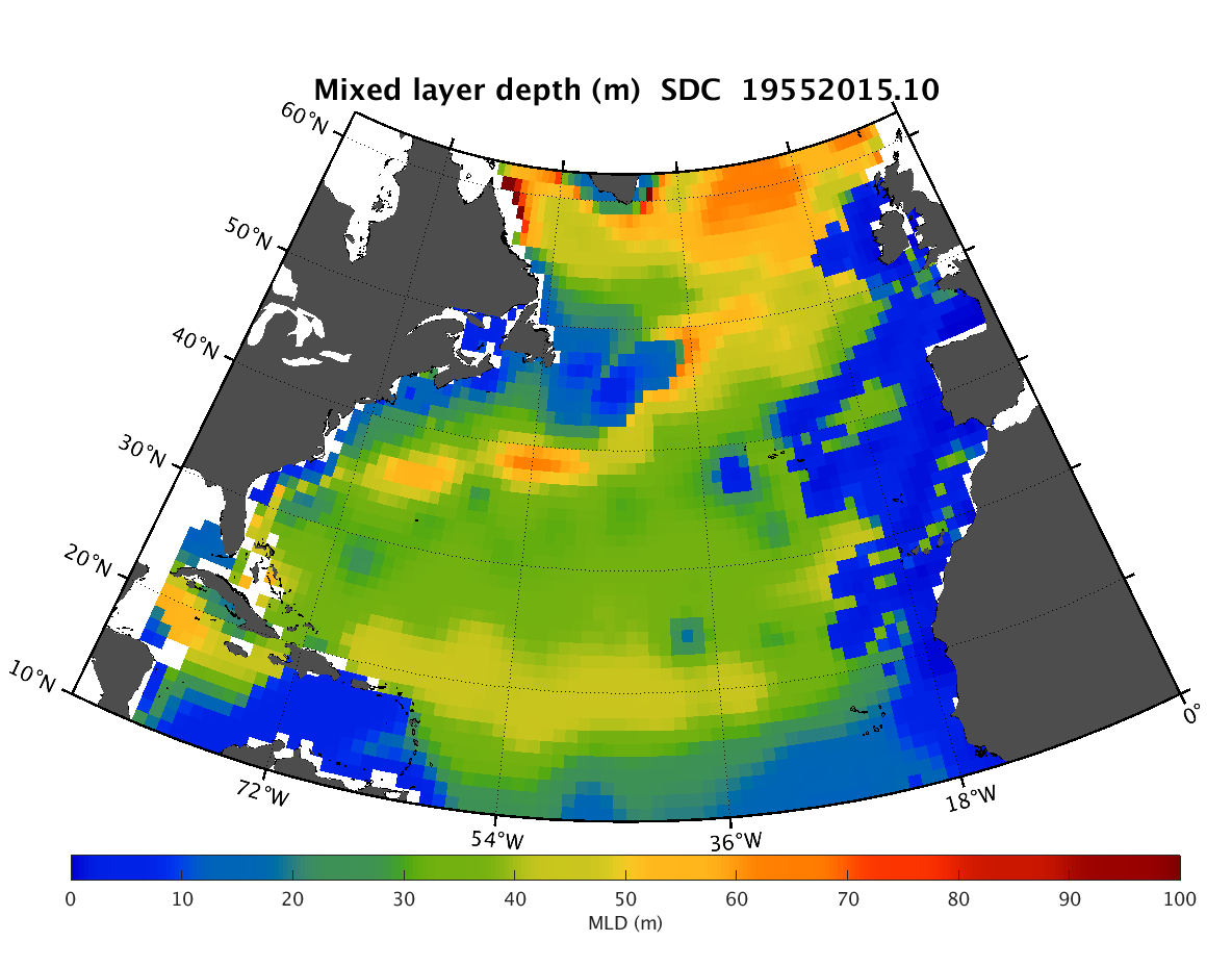
The SDC_NAT_DP1 product contains the North Atlantic Ocean monthly climatology for mixed layer depth (MLD) based on temperature climatology spanning 60 years (1955-2015). The MLD fields have spatial resolution 1/4°. The profiles of temperature combines data from 2 major sources, the SeaDataNet infrastructure and a part of data of the Coriolis Ocean Dataset for Reanalysis (CORA). The used climatology is the SeaDataCloud North Atlantic Ocean Temperature Climatology V1 (https://doi.org/10.13155/61810) done with the DIVA software, version 4.7.2. The product was developed in framework of the SeaDataCloud project. This product must be considered as feasibility study for the next phases, it is a beta-version and that further research needs to be done before its usage from users.
-
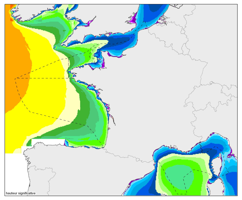
Median of the 90th and 99th percentiles of significant height and significant agitation. From the North Sea to the Mediterranean Sea, at a resolution of 2 minutes.
-

The SDC_GLO_CLIM_N2 product contains seasonally averaged Brunt-Vaisala squared frequency profiles using the density profiles computed in SeadataCloud Global Ocean Climatology - Density Climatology. The Density Climatology product uses the Profiling Floats (PFL) data from World Ocean database 18 for the time period 2003 to 2017 with a Nonlinear Quality procedure applied on it. Computed BVF profiles are averaged seasonally into 5x5 degree boxes for Atlantic and Pacific Oceans. For data access, please register at http://www.marine-id.org/.
-
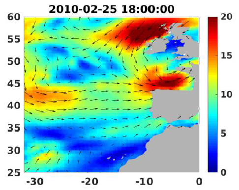
Wind analyses, estimated over the North Atlantic Ocean with a focus on some specific regions, are one the main ARCWIND (http://www.arcwind.eu/) project deliverables. They are estimated from various remotely sensed wind observations in combination with numerical model (WRF), with regular space (0.25deg in latitude and longitude), and time (00h:00, 06h:00, 12h:00, 18h:00 UTC), and based the method described in (Bentamy A., A. Mouche, A. Grouazel, A. Moujane, M. A. Ahmed. (2019): Using sentinel-1A SAR wind retrievals for enhancing scatterometer and radiometer regional wind analyses . International Journal Of Remote Sensing , 40(3), 1120-1147 . https://doi.org/10.1080/01431161.2018.1524174).
 Catalogue PIGMA