/Processed data/Reference datasets
Type of resources
Available actions
Topics
Keywords
Contact for the resource
Provided by
Representation types
Update frequencies
status
Scale
-
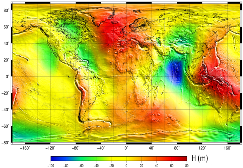
The mean sea surface (MSS) is an important field in physical oceanography, geophysics, and geodesy. In principle, it corresponds to the time-averaged height of the ocean surface. Auxiliary product : mean sea profile above a reference ellipsoid (T/P or WSG84). This surface is available on a regular grid (1/60°x1/60°, 1 minute). Another grid provides the estimation of error fields which represent the MSS accuracy estimated through the inverse technique.
-
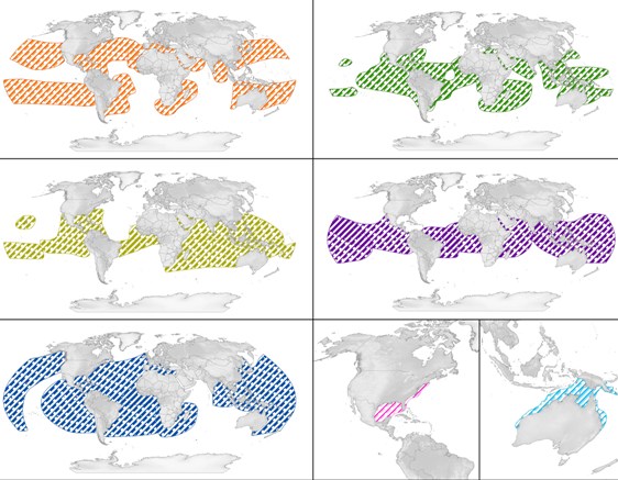
SWOT - the State of the World's Sea Turtles - is a partnership led by Marine Flagship Species Program at the Oceanic Society, Conservation International (CI), the IUCN Marine Turtle Specialist Group (MTSG), and supported by the OBIS-SEAMAP project at the Marine Geospatial Ecology Lab (MGEL), Duke University. This Database allows mapping marine turtle available data. Here is presented - the World Regional Managment Units for all species
-
-
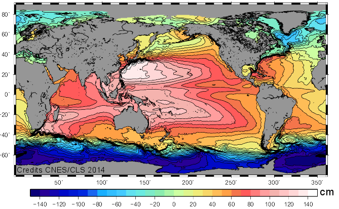
The Mean Dynamic Topography MDT-CNES-CLS22 is an estimate of the mean over the 1993-2012 period of the sea surface height above geoid. This is consistent with the reference time period also used in the SSALTO DUACS products.
-
 Catalogue PIGMA