D1: Birds, Marine Mammals and Turtles
Type of resources
Available actions
Topics
Keywords
Contact for the resource
Provided by
Representation types
Update frequencies
status
Scale
-
Counting beached marine turtles on the Channel- Atlantic coast, identifying the causes of mortality in dead beached individuals, rehabilitating and releasing live beached individuals into the wild.
-
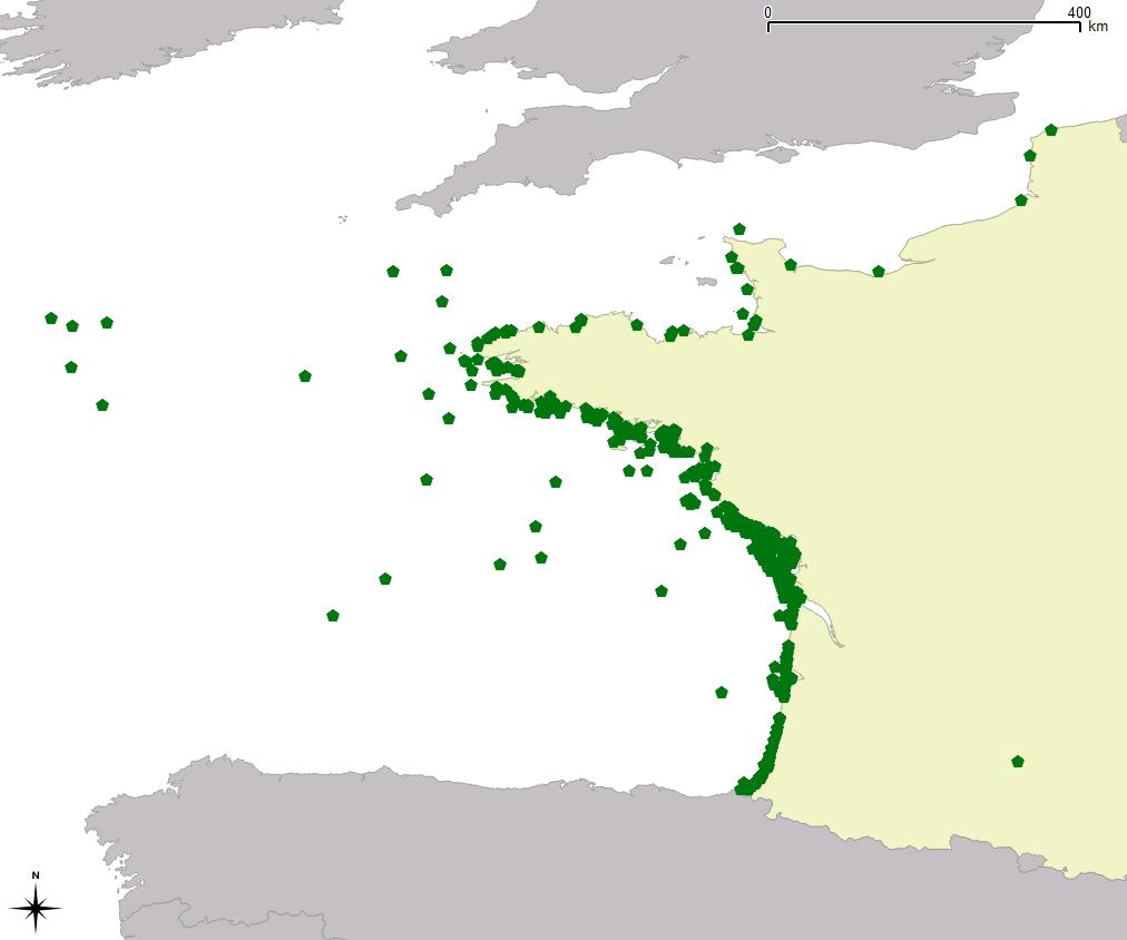
Inventory of observations of marine turtles at sea on the Chanell-Atlantic coastline since 1988. Since 1996, these observations have been part of the campaign "Devenez observateurs des Pertuis" (Become Observers in the Pertuis straits) in partnership with the Marine Mammal Research Centre (CRMM) in order to raise the awareness of pleasure-boaters and encourage them to record their observations at sea.
-
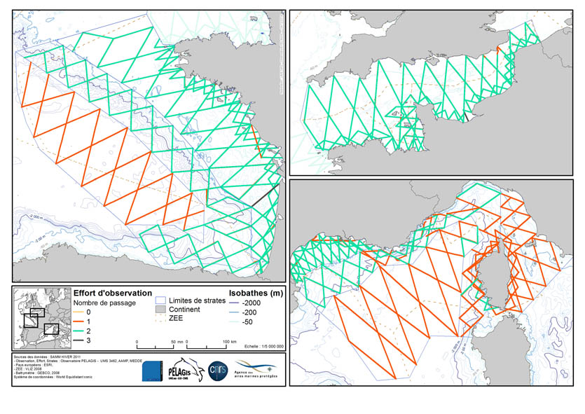
The associated data highlights the sampling programme for the data acquisition campaign of Observation on the Aerial Platform for the SAMM2 campaign (Aerial Marine Megafauna Monitoring) conducted by the PELAGIS observatory.
-
The associated data highlights the sampling programme for the data acquisition campaign of Observation on the Aerial Platform for the SAMM2 campaign (Aerial Marine Megafauna Monitoring) conducted by the PELAGIS observatory.
-

-
-

-
-
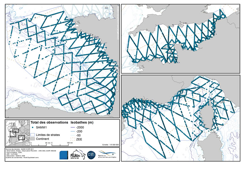
The associated data highlights the sampling programme for the data acquisition campaign of Observation on the Aerial Platform for the SAMM1campaign (Aerial Marine Megafauna Monitoring) conducted by the PELAGIS observatory.
-
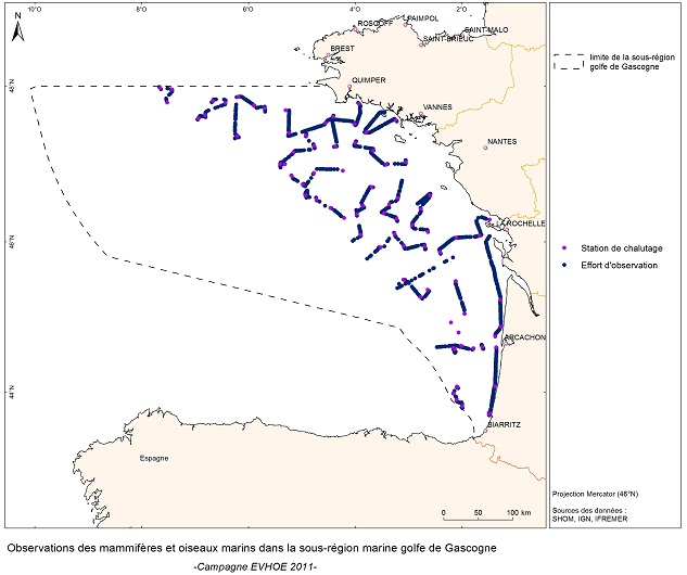
EVRWE is a multiannual survey with the following objectives: - Building up time series of abundance indices for the main dermersal and benthic species in the Celtic Sea and the Bay of Biscay. - Measuring inter-annual changes in their recruitment. - Mapping the spatial distributions of the species and their inter-annual variations, as well as looking for the origin of this variability (biotic and/or abiotic parameters, fisheries impact). - In the framework of the 'Bay of Biscay' challenge, the data collected are vital for understanding changes in faunal communities.
 Catalogue PIGMA