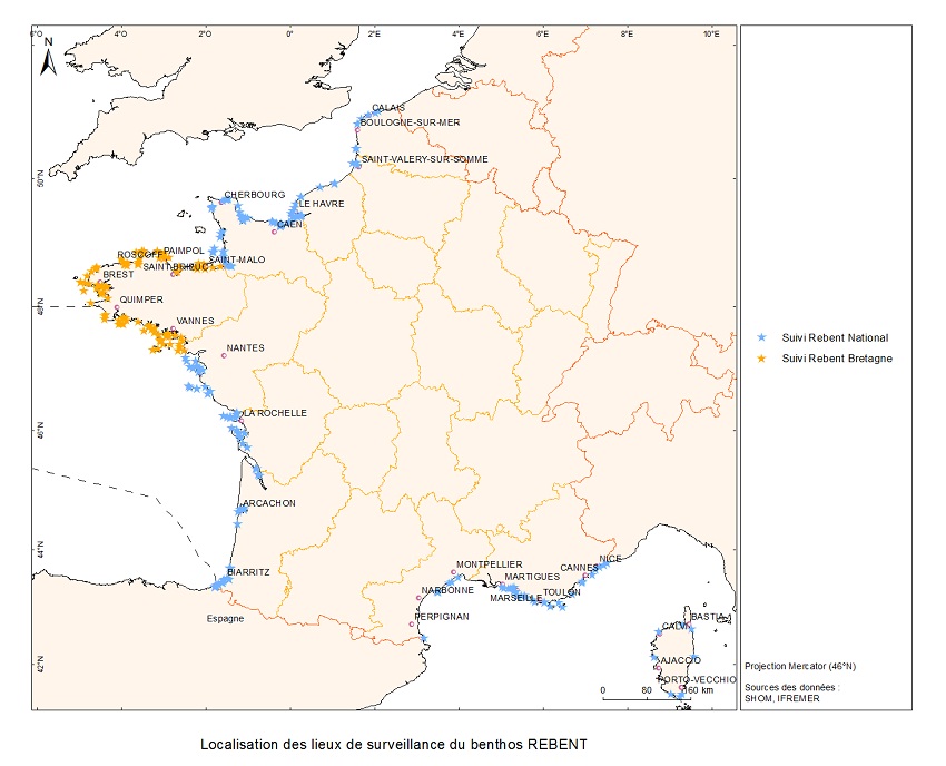
D1: Coastal benthic habitats
Type of resources
Available actions
Topics
Keywords
Contact for the resource
Provided by
Representation types
Update frequencies
status
Scale
-
-
-
-
Données de suivi bi-annuel de 20 récifs à Sabellaria alveolata (12 en France + 8 au Royaume-Uni et au Portugal) effectué entre 2016 et 2023 selon le protocole standardisé développé dans le cadre du projet REEHAB (pour REEf HABitat – www.hermelles.fr; Dubois et al., 2020).
-
-
-
-
"Abstract: " Hydrodynamic database build with the MARS3D model along the french manche and atlantic coast at high spatial (500m) and temporal (1h) resolution "Details:" Seabed habitats maps are build from statistics models which need some data that describe the physical environment of the different species. Theses environmental factors are the salinity, temperature and shear stress (from waves and current) on the sea floor. Statistics are based on realistic and inter-annual simulations from 3D ocean models.Models output are currently available at a uniform resolution of 2.5 km along the whole French coast,as a part of the PREVIMER project (http://www.previmer.org) To increase the horizontal resolution of the model to 500m grid spacing, an on-line grid refinement technique has been carried out with the AGRIF library. (http://www-ljk.imag.fr/MOISE/AGRIF/) Seven zooms (with 500m resolution) have been implemented in the 2.5 km MANGAE configuration. From this configuration, an hindcast of six years (from 2010 to 2015) has been simulated and cover the french coast from spain to pas-de-calais area : "Main features of the hindcast" Horizontal resolution : 500m Vertical resolution : 40 sigma levels Temporal resolution : 1 Hour "Available physical parameters" ◦ 2D : Sea surface height and barotropic velocities (U and V components) ◦ 3D : Temperature, Salinity and baroclinic velocities
-
-