D2: Non-indigenous species
Type of resources
Available actions
Topics
Keywords
Provided by
Representation types
Update frequencies
status
Scale
-

-

-

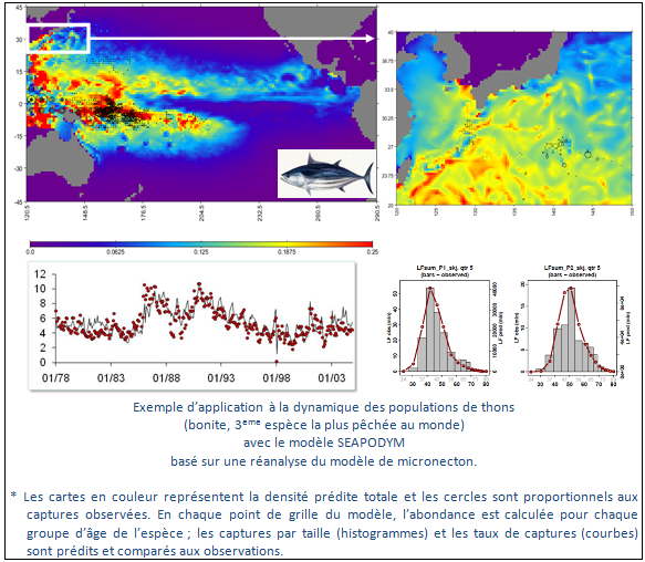
Monitoring and understanding of marine ecosystems, marine population dynamics, commercial species and protected species. Themes covered: - Functional ecology - marine population dynamics - Impact of climate variability - Ecosystem management - Spatialised operational management System functions - Definition of key areas and configuration of the population dynamics model - Acquisition of satellite data and in situ ocean data - Data processing and production of geographical layers - Data management and storage - Data distribution Coverage - Oceans worldwide - Ocean basins - Ocean regions - Mediterranean sea Specifics (see functioning, qualification system, custom services for users) - Customised services for users
-

-

Resomar is a French national network of marine stations and observatories for exchanging and collaboration on scientific projects, studies and monitoring programmes. In 2007, the CNRS/INSU launched a programme with a view to giving new life to RESOMAR (formerly RNSM and then RNSLM), and to made it a strategic tool for enhancing coastal marine biology studies at a national level. This network has been given the task of scientifically collating and exploiting biological databased relating to the components of benthic and pelagic ecosystems on the French coast.
-

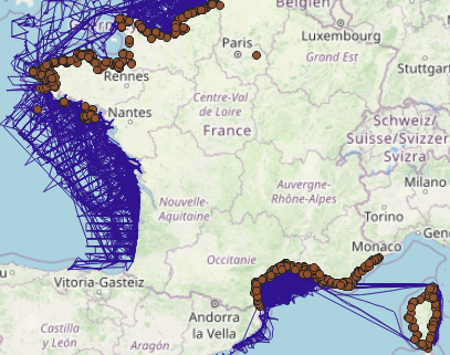
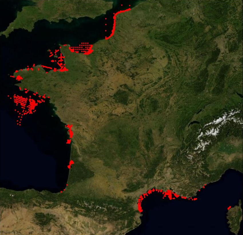
The definitive coastal information system, Quadrige stores coastal observation and monitoring network data. In order to manage coastal monitoring data, Ifremer developed the Quadrige² information system. Quadrige is one element of the Water Information System (SIE) http:// www.eaufrance.fr, et à ce titre, contribue aux travaux du Secrétariat d'Administration National des Données Relatives à l'Eau (SANDRE) http://www.sandre.eaufrance.fr. Quadrige Marine Zones is a reference source unique to the Quadrige system. It is used to break down the coast of the French mainland and overseas territories into large areas and to connect each one with observation and monitoring locations.
 Catalogue PIGMA