Product
Type of resources
Available actions
Topics
Keywords
Provided by
Representation types
Update frequencies
-
This product includes all Shom digital files for tidal currents on mainland French coasts (Channel and Atlantic coasts) in mesh format. These digital files indicate surface tidal current components, hour by hour and for two typical tidal coefficients (45 and 95) and maximum current speeds for a mean spring tide. Brest is taken as the reference port for viewing purposes. The current points included in these files correspond to the arrows shown on current atlases.
-

The "Military practice areas" product contains vector data in the form of 2D surface objects describing the military practice areas in the France sector represented on Zonex variants of nautical charts. This is the S-57 MIPARE object class (military practice areas): maritime zone within which military, naval or air exercises can take place.
-

The product "Wrecks and obstructions" contains a description of wrecks and obstructions in the French Exclusive Economic Zone (EEZ) as 2D point objects. Objects of the product "Wrecks and obstructions" are divided into 2 classes: - Wrecks (WRECKS): all or part of a stranded or sunken ship or aircraft; - Obstructions (OBSTRN): object of an artificial nature other than a wreck (for example: container, lost anchor). This product does not concern floating or drifting objects (containers, debris, buoys out of position, ...) which position changes rapidly.
-
The georeferenced digital image solution for the nautical chart is a digital conversion of the corresponding printed nautical chart produced by Shom or its legends, with georeferencing indications and including miscellaneous text.
-

The « Maritime Spatial Planning » product contains 2D areas vector objects representing the extent of the maritime spatial plan (« MSP Spatial Plan » layer) and the extent of the corresponding vocation zones (« MSP Zoning Element » layer), defined in each strategic façade document.
-
The bathymetric DEM of the atlantic facade with a resolution of 0.001° (~ 100 m) was prepared as part of the HOMONIM project. It encompasses part of the North Sea, the Channel and the Bay of Biscay. Offshore, this DTM extends beyond the slope to approximately 4800 m depth. The DEM is designed to be used in hydrodynamic models in order to produce high-precision forecasts for coastal water levels and sea conditions and therefore improve the pertinence of the Waves-Submersion monitoring programme. This product is available with the Lowest Astronomic Tide (LAT) or the Mean Sea Level (MSL) as a vertical datum.
-

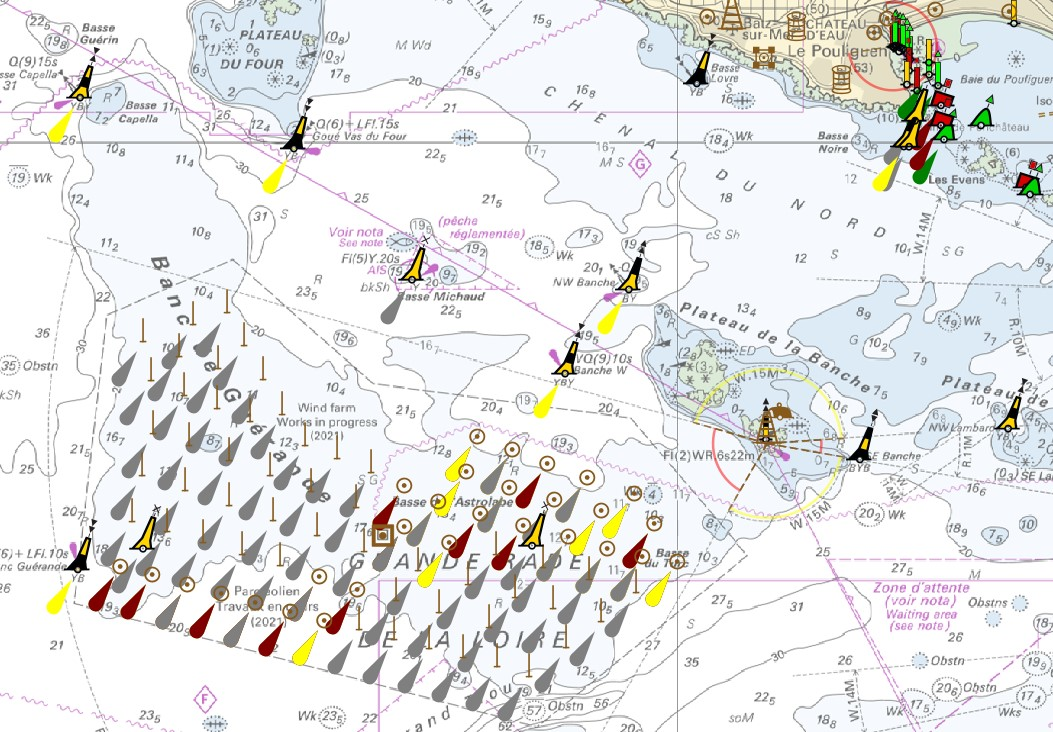
"Aids ton navigation" product contains a description of landmarks, beaconage or buoyage, in the French Exclusive Economic Zone (EEZ). <br /> June 21 2024 version
-
The product contains a description of submarine cables and pipelines brought to the attention of Shom on French areas of responsibility. These are 2D linear objects of the seabed that divide into two categories: • The submarine cables: these are cables placed on the seabed where electricity or information (telecommunication) flows. They represent the vast majority of objects (more than 90%); • Emissaries and submarine pipes: these are pipes that allow the discharge, sampling or circulation of fluids.
-

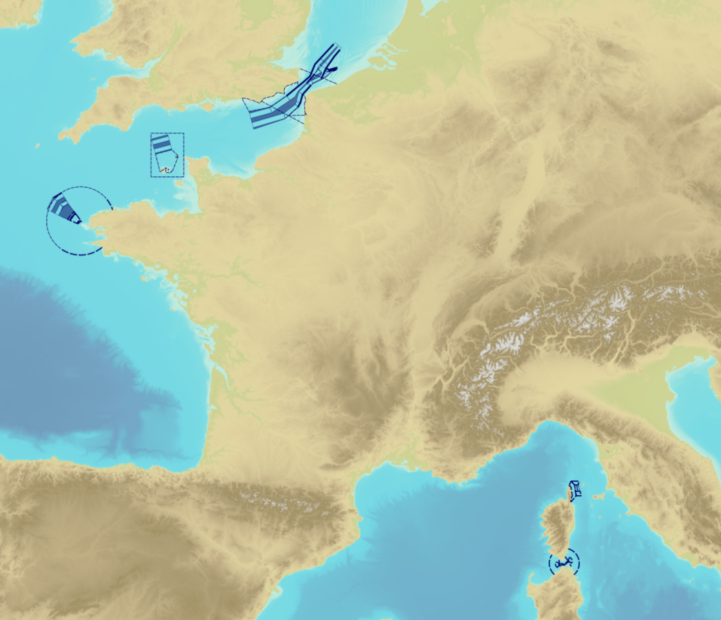
"Traffic Separation Schemes" product contains a description of TSS in French maritime spaces. A TSS is a routeing measure aimed at the separation of opposing streams of traffic by appropriate means and notably by the establishment of traffic lanes. The measures taken aim at improving navigation safety in areas where navigation is threatened by the density of traffic associated with various natural difficulties. Several classes of objects constitute this product, the acronyms used are those of IHO standard S-57: - Traffic separation scheme lane part (TSSLPT): area of a traffic lane in which the direction of flow of traffic is uniform; - Traffic separation scheme boundary (TSSBND): outer limit of a traffic lane part or a traffic separation scheme roundabout; - Traffic separation line (TSELNE): common boundary between two traffic lanes, or between one traffic lane and one inshore traffic zone; - Traffic separation zone (TSEZNE): separation areas between two traffic lanes, or between one traffic lane and one inshore traffic zone, or to the central area of a roundabout; - Inshore traffic zone (ISTZNE): area between the landward boundary of a traffic separation scheme and the adjacent coast; - Precautionary area (PRCARE): area, within defined limits, where ships must navigate with particular caution, and within which the direction of traffic flow may be recommended; - Deep water route part (DWRTPT): sections within which the flow of traffic either follows one defined direction for one-way traffic, or follows one defined direction and its reciprocal for two-way traffic. A deep-water route is a route in a designated area within defined limits which has been accurately surveyed for clearance of sea bottom and submerged obstacles to a minimum indicated depth of water; - Two-way route part (TWRTPT): sections within which traffic flows in two directions along one bearing and its reciprocal. These route parts are generally two-way, but some may be restricted to one-way traffic flow; - Radio calling-in line (RDOCAL_lne) : positions at which vessels are required to report to a traffic control centre.
-

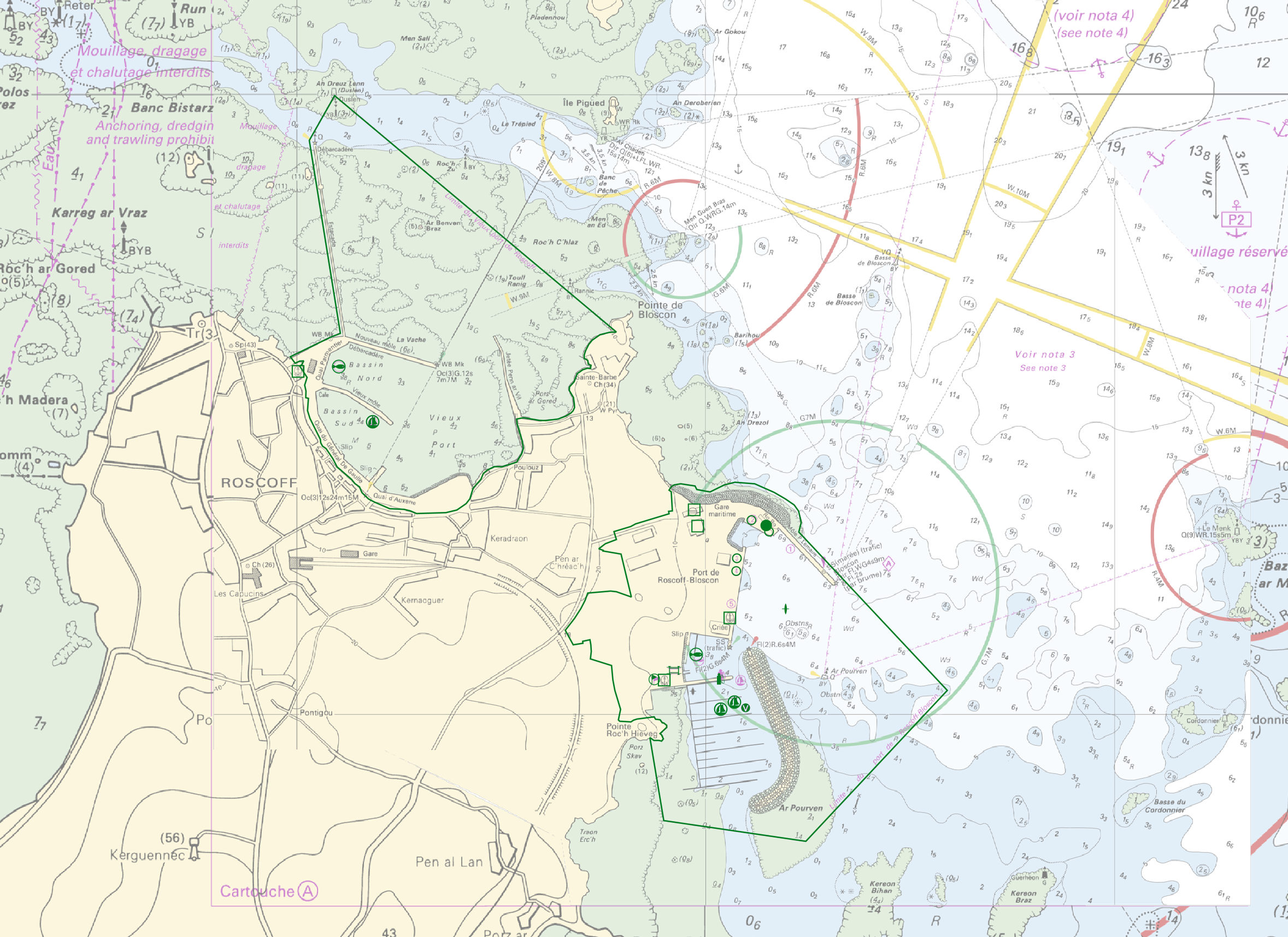
"Harbour Information" product contains 13 object classes, the acronyms used are those of IHO standard S-57 - International Hydrographic Organization – (https://iho.int/): - Berth (BERTHS): place in which a ship is moored at wharf - Isolated building localizing a harbour office (BUISGL) - Checkpoint (CHKPNT) - Crane (CRANES) - Floating dock (FLODOC): floating structure of one or more sections which can be partly submerged by controlled flooding to receive a vessel, then raised by pumping out the water so that the vessel's bottom can be exposed for maintenance. - Gridiron (GRIDRN): structure in the intertidal zone serving as a support for vessels at low tide to permit work on the exposed portion of the vessel's hull. - Harbour area (HRBARE) : administrative area of a port, including all docking and handling facilities, as well as short-term storage facilities. - Harbour facility (HRBFAC) - Hulk (HULKES) : hull of a wrecked or condemned ship, from which the fittings and superstructure have usually been removed, which is moored in a permanent position or grounded. - Oil barrier (OILBAR) - Pilot boarding place (PILBOP) - Rescue station (RSCSTA) - Small craft facility (SMCFAC) Detailed definitions of each of these object classes can be found in the S-57 standard (https://iho.int/en/standards-and-specifications). An online catalog is available at http://www.s-57.com/. Some of the symbols used for display on data.shom.fr portal have been adapted from icons from the OpenSeaMap open library (https://github.com/OpenNauticalChart/).
 Catalogue PIGMA