Keyword
Topography
Type of resources
Topics
Keywords
Provided by
Representation types
Update frequencies
status
Scale
From
1
-
2
/
2
-

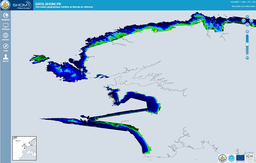
The Litto3D® project, along with the IGN, is responsible for producing detailed topographical and bathymetric information in mainland France so as to meet the needs of coastal and land-based stakeholders.
-

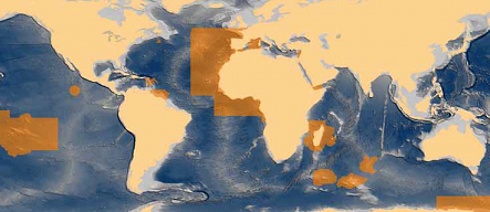
In its 2013-2016 version, the National Hydrographic Programme (PNH) details hydrographic surveys in the maritime areas under French responsibility which are conducted in order to meet France’s international obligations relating to navigational safety (International SOLAS convention). The PNH will be updated yearly in order to account for the new requirements put forward by the maritime community, and the hydrographic capability of the SHOM which can be put into practice in areas under French responsibility.
 Catalogue PIGMA