Toulon
Type of resources
Available actions
Topics
Keywords
Contact for the resource
Provided by
Years
Formats
Representation types
Update frequencies
status
Scale
Resolution
-
GOSUD aims at assembling in-situ observations of the world ocean surface collected by a variety of ships and at distributing quality controlled datasets. At present time the variables considered by GOSUD are temperature and salinity. The GOSUD data are mostly collected using thermosalinographs (TSG) installed on research vessels, on commercial ships and in some cases on sailing exploration ships. GOSUD manages both near-real time (RT and NRT) data and delayed mode (DM-reprocessed) data. The GOSUD GDAC is hosted by the Coriolis data centre (France) and a back-up (permanent archived) is performed on a daily basis by NCEIS (NOAA's National Centers for Environmental Information).
-
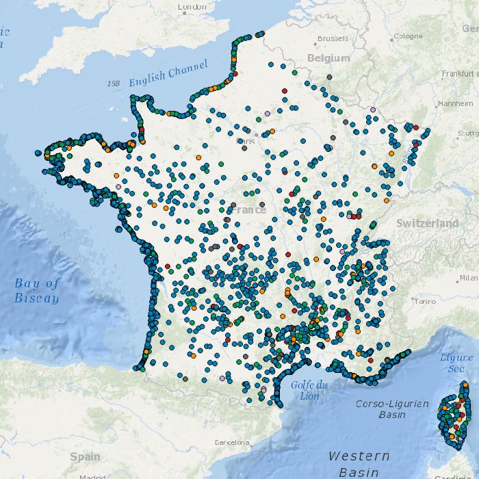
Data available in the French Coast
-

Description of the National Center for Archiving Swell Measurements (CANDHIS).
-
-
-
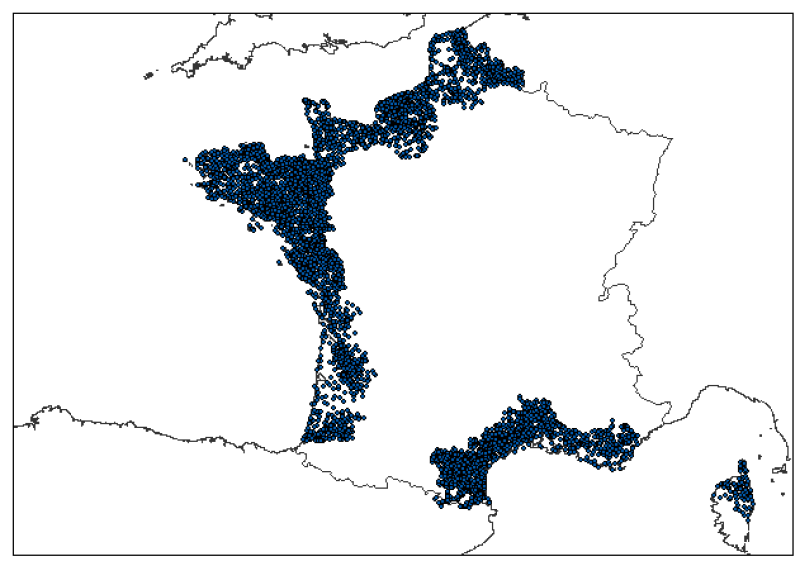
Localisation des rejets des stations d'épuration des départements littoraux exceptés les Pyrénées-Atlantique, la Corse du sud 2A et les Alpes-Maritimes. Ces données sont issues de la Base de Données des Eaux Résiduaires Urbaines 2009.
-
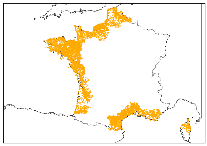
Localisation des stations d'épuration des départements littoraux exceptés les Pyrénées-Atlantique, la Corse du sud 2A et les Alpes-Maritimes. Ces données sont issues de la Base de Données des Eaux Résiduaires Urbaines 2009.
-
Les communes concernées par l'application de la "loi Littoral" sont définies par l’article L. 321-2 du code de l’environnement comme les communes de métropole et des départements d'outre-mer : Article L321-2 Sont considérées comme communes littorales, au sens du présent chapitre, les communes de métropole et des départements d'outre-mer : 1° Riveraines des mers et océans, des étangs salés, des plans d'eau intérieurs d'une superficie supérieure à 1 000 hectares ; 2° Riveraines des estuaires et des deltas lorsqu'elles sont situées en aval de la limite de salure des eaux et participent aux équilibres économiques et écologiques littoraux. La liste de ces communes est fixée par décret en Conseil d’État, après consultation des conseils municipaux intéressés. Une commune est considérée comme riveraine de la mer et des océans dès lors qu'une partie, même réduite, de son territoire jouxte le rivage de la mer.
-
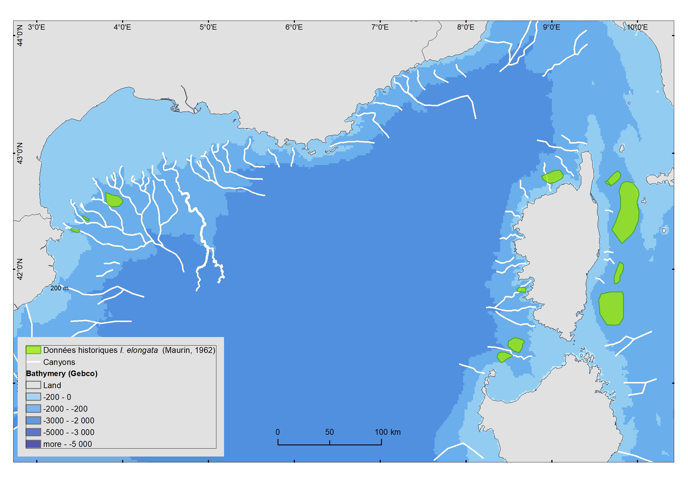
The distribution of the Vulnerable Marine Ecosystem Isidella elongata (Alcyonacea) was digitalized from a document edited in 1962 (Maurin, 1962).
-
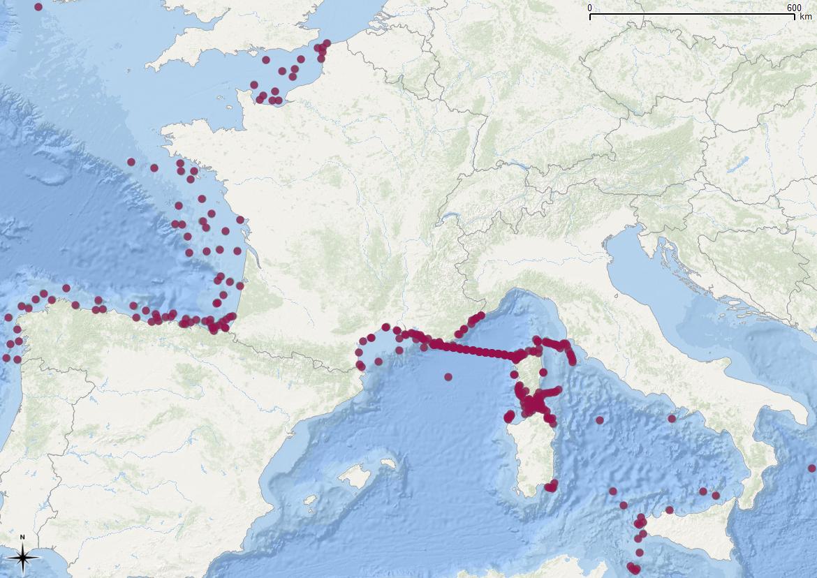
Evaluation du milieu par les microplastiques (300µm-5 mm) et mésoplastiques (5-20mm) à travers l'étude des quantités, de leur poids et de leur distribution spatiale en surface, de 2011 à 2016. Le programme de surveillance du descripteur D10C2 (indicateur microplastiques en surface) DCSMM a été mis en place en 2015. Les données collectées avant cette date, se basent sur les mêmes techniques approuvées et éprouvées. Depuis 2015, les prélèvements sont réalisés annuellement en Atlantique (campagnes halieutiques), et tous les trois ans en Méditerranée (campagnes et cycles DCE) avec une acquisition supplémentaire de prélèvements opportunistes lors de campagnes scientifiques pour les autres années.
 Catalogue PIGMA