VMS
Type of resources
Available actions
Topics
Keywords
Contact for the resource
Provided by
Years
Formats
Representation types
Update frequencies
status
Scale
-
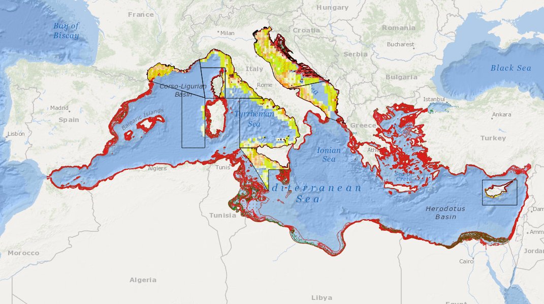
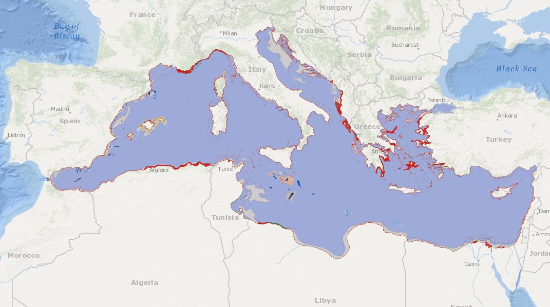
MEDSEA_CH5_Product_5 / Change level of disturbance from VMS data combined with habitat vulnerability

to deliver maps showing the extent of the trawling fishing grounds for identifying the changes in level of disturbance over the past ten years and identifying the gaps of fishing vessels’ tracking systems in the Mediterranean Sea
-

to deliver maps showing the extent of the trawling fishing grounds for identifying the areas which are most disturbed by bottom trawling and the changes in level of disturbance over the past ten years and identifying the gaps of fishing vessels’ tracking systems in the Mediterranean Sea
-

Vessel Monitoring System (VMS) data is the data from the Community's satellite-based fishing vessel monitoring system, which provides data on the position, course and speed of vessels to fisheries authorities at regular intervals.
-

These data provide information on the characteristics of shipowners and vessels: registration, year of construction, material, length, port, place of registration, membership of the FPC file, tonnage, power.
-

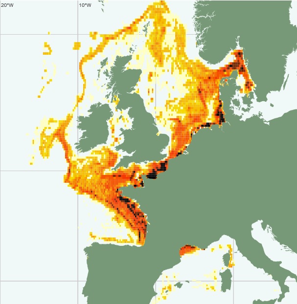
The International Council for the Exploration of the Sea (ICES), is a global organization that develops science and advice to support the sustainable use of the oceans. ICES is a network of more than 5,000 scientists from over 690 marine institutes in 20 member countries and beyond. 1,500 scientists participate in our activities annually. ICES has a well-established Data Centre, which manages a number of large dataset collections related to the marine environment. The majority of data – covering the Northeast Atlantic, Baltic Sea, Greenland Sea, and Norwegian Sea – originate from national institutes that are part of the ICES network. The ICES Data Centre provides marine data services to ICES member countries, expert groups, world data centres, regional seas conventions (HELCOM and OSPAR), the European Environment Agency (EEA), Eurostat, and various other European projects and biodiversity portals. ICES aims to provide all data collections online and according to the ICES Data policy, which enables open access to all data that are do not fall under specific commercial or personal privacy concerns.
-
Compilations des mouvements des navires de pêches équipés du système. Cette base de données contient les mouvements des navires de pêche français en océan mondial et étrangers en eaux sous juridiction française. Ces données permettent d’établir la cartographie de la densité de la composante pêche du trafic maritime. Cette densité est exploitée par un modèle de prévision du bruit ambiant.
-

Pression exercée sur l'habitat benthique.
 Catalogue PIGMA