Contact for the resource
Cooperativa Mare Ricerca
Type of resources
Available actions
Topics
Keywords
Contact for the resource
Provided by
Years
Formats
Representation types
From
1
-
2
/
2
-

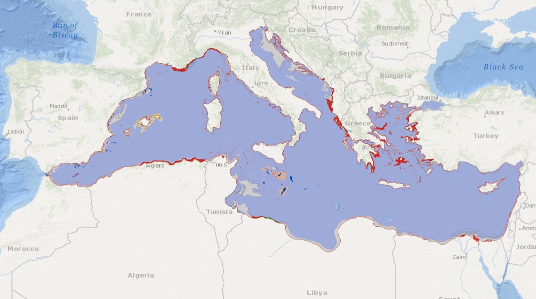
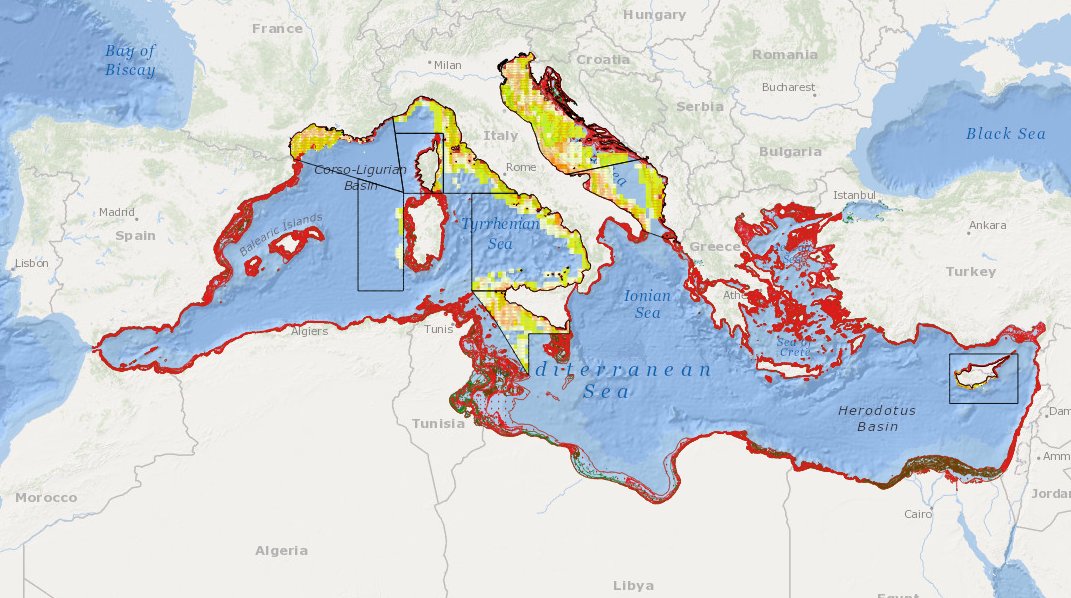
to deliver maps showing the extent of the trawling fishing grounds for identifying the areas which are most disturbed by bottom trawling and the changes in level of disturbance over the past ten years and identifying the gaps of fishing vessels’ tracking systems in the Mediterranean Sea
-
MEDSEA_CH5_Product_5 / Change level of disturbance from VMS data combined with habitat vulnerability

to deliver maps showing the extent of the trawling fishing grounds for identifying the changes in level of disturbance over the past ten years and identifying the gaps of fishing vessels’ tracking systems in the Mediterranean Sea
 Catalogue PIGMA