Instituto Español de Oceanografia (IEO)
Type of resources
Topics
Keywords
Contact for the resource
Provided by
Years
Formats
Representation types
Scale
Resolution
-
Composite DTM of “Golfo de Vera” (Andalucía and Murcia margin) at approximately 225 m of resolution.
-
Composite DTM of Formentera Island at approximately 100 meters of resolution.
-
Composite DTM of La Gomera Island Margin Eco-cartography in Canary Islands, at approximately 100 meters of resolution (1/16 arc-minute).
-
Composite DTM of La Palma Island Margin Eco-cartography in Canary Islands, at approximately 100 meters of resolution (1/16 arc-minute).
-
Margin of Golf of Cádiz with a resolution of approximately 200 m, acquired by the Spanish Institute of Oceanography for INDEMARES project.
-
Margin of Golf of Cádiz with a resolution of approximately 200 m, acquired by the Spanish Institute of Oceanography for INDEMARES project.
-
Composite DTM of Menorca Island at approximately 100 meters of resolution.
-
Composite DTM Strait of Gibraltar margin, at approximately 100m of resolution
-
Composite DTM of El Hierro Island Margin Eco-cartography in Canary Islands, at approximately 100 meters of resolution (1/16 arc-minute).
-
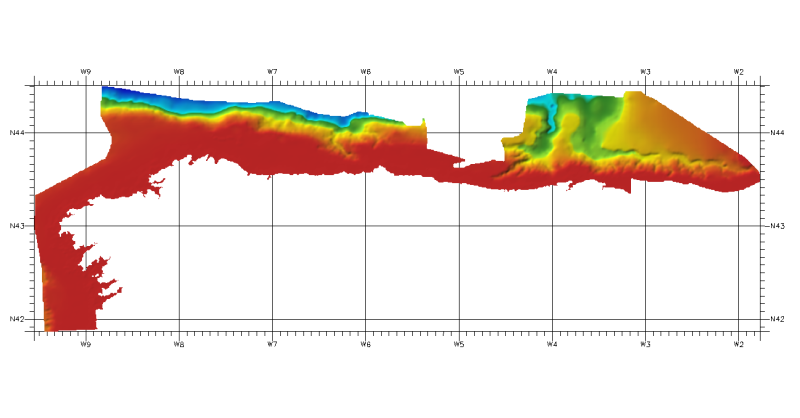
DTM of continental margin of Cantabric Sea, resolution 100 meters. This DTM includes the whole area from coast line to deepest level (5544,23 m).