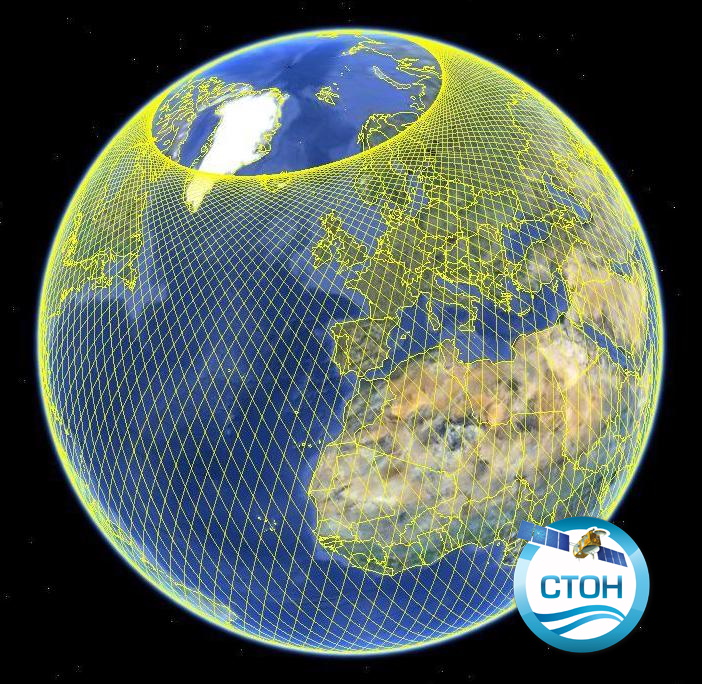
Altimetry product GDRs (monomission, along-track, level2), several missions available
Along-track altimetric GDR (Geophysical Data Record) products , geophysical and environmental corrections to apply. Available missions are: GFO, Topex/Poseidon, Envisat, Cryosat-2, Jason-1, Jason-2, Jason-3, Saral/AltiKa.
Missions with several successive orbital types are treated in their entirety. Compared to the original version of the GDR files distributed by the CNES, ESA, NASA and ISRO agencies, the CTOH proposes new corrections and parameters in these files, which are to be applied to the initial altimetry measurement, according to user needs.
Children metadata files are available for each mission.
Simple
- Date (Publication)
- 2017-11-07
- Credit
- CTOH, CNES, ESA, NASA, ISRO
- Centre de données ODATIS
-
- CDS-SAT-AVISO
- Type de jeux de donnée ODATIS
-
- /Observational data/satellite
- Theme
-
- altimetry, GDR, satellite, surface heights, sea level, SLA, backscatter coefficient
- Services Nationaux d'Observation
-
- SNO-CTOH
- ODATIS aggregation parameters and Essential Variable names
-
- Sea surface height
- Use limitation
- CC-BY-NC-SA (Creative Commons - Attribution, No commercial usage, Sharing under the same conditions)
- Access constraints
- Other restrictions
- Use constraints
- Other restrictions
- Other constraints
- The only limitation is to reference the CTOH while using these data.
- Spatial representation type
- Grid
- Metadata language
- Français
- Character set
- UTF8
- Topic category
-
- Oceans
N
S
E
W
))
- Begin date
- 2002-01-15
- End date
- 2013-06-21 Before
- Geometric object type
- Point
- Distribution format
-
-
(
)
-
(
)
- OnLine resource
- accès aux produits CTOH ( WWW:LINK )
- Hierarchy level
- Dataset
- File identifier
- 43feec26-ee31-4fe3-9556-3ad5528fe0b7 XML
- Metadata language
- Français
- Character set
- UTF8
- Hierarchy level
- Dataset
- Date stamp
- 2024-06-18T07:05:29.178Z
- Metadata standard name
- ISO 19115:2003/19139 - SEXTANT
- Metadata standard version
- 1.0
Overviews


Spatial extent
N
S
E
W
))
Provided by

Associated resources
Not available
 Catalogue PIGMA