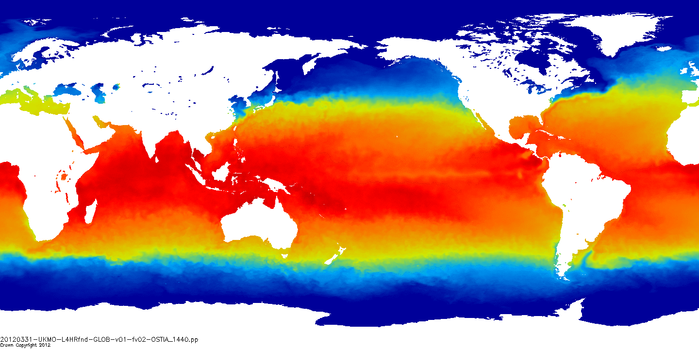
Advanced Along-Track Scanning Radiometer (AATSR) Re-processing for Climate (ARC) Dataset of SST Retrievals
Advanced Along-Track Scanning Radiometer multimission data have been reprocessed to provide update retrievals of Sea Surface Temperature (SST) to produce the AATSR Reprocessing for Climate (ARC) dataset.
Simple
- Date (Creation)
- 1991-08-01
- Credit
- CERSAT
- Centre de données ODATIS
-
- CDS-CERSAT
- Keywords
-
- Type de jeux de donnée ODATIS
-
- /Observational data/satellite
- ODATIS aggregation parameters and Essential Variable names
-
- Sea temperature
- Use limitation
- Aucune condition ne s’applique
- Access constraints
- Copyright
- Use constraints
- Other restrictions
- Spatial representation type
- Grid
- Metadata language
- Français
- Character set
- UTF8
- Topic category
-
- Oceans
N
S
E
W
))
- Begin date
- 1991-08-01
- End date
- 2012-04-08
- Geometric object type
- Surface
- Distribution format
-
-
(
)
-
(
)
- OnLine resource
- CERSAT Catalogue ( WWW:LINK )
- OnLine resource
- GHRSST ( WWW:LINK )
- OnLine resource
- CEDA ( WWW:LINK )
- Hierarchy level
- Dataset
- Statement
- The Level 3 ARC data products are available for ATSR1, ATSR2 and AATSR and in the version 1.1.1 release are currently available from 1991 to 2012. ARC reprocesses the AATSR multimission archive using new cloud detection and SST retrievals in addition to produce a homogenous record of sea surface temperature from 1991 to 2012. The main ARC objective is to reduce regional biases in retrieved sea surface temperature (SST) to less than 0.1 K for all global oceans while creating a very homogenous record with a stability (lack of drift in the observing system and analysis) of 0.05 K decade. The AATSR multimission archive is also available from the NEODC.
- File identifier
- d1da7765-3d98-4594-b7e0-c96be66f3618 XML
- Metadata language
- Français
- Character set
- UTF8
- Parent identifier
- ebe17855-ef5e-4272-b0bf-367c0925ad53 ebe17855-ef5e-4272-b0bf-367c0925ad53
- Hierarchy level
- Dataset
- Date stamp
- 2024-10-15T15:07:01.01773Z
- Metadata standard name
- ISO 19115:2003/19139 - SEXTANT
- Metadata standard version
- 1.0
Overviews

Spatial extent
N
S
E
W
))
Provided by

Associated resources
Not available
 Catalogue PIGMA