/Activités et Usages/Pêche et Aquaculture
Type of resources
Available actions
Topics
Keywords
Contact for the resource
Provided by
Years
Formats
Representation types
Update frequencies
status
Scale
Resolution
-

The raster dataset represents fishing intensity (kilowatt per fishing hour) by pelagic towed gears in the European seas. The dataset has been derived from Automatic Identification System (AIS) based pelagic fishing intensity data received from the European Commission’s Joint Research Centre - Independent experts of the Scientific, Technical and Economic Committee for Fisheries (JRC STECF), as well as from Vessel Monitoring System (VMS) and logbook based pelagic fishing effort data from HELCOM Commission. The temporal extent varies between the data sources (between 2013 and 2015). The dataset has been transformed to a logarithmic scale (ln1). This dataset has been prepared for the calculation of the combined effect index, produced for the ETC/ICM Report 4/2019 "Multiple pressures and their combined effects in Europe's seas" available on: https://www.eionet.europa.eu/etcs/etc-icm/etc-icm-report-4-2019-multiple-pressures-and-their-combined-effects-in-europes-seas-1.
-

The raster dataset represents bycatch fishing intensity (kilowatt per fishing hour) from bottom touching mobile gears in the European seas. The dataset has been derived from Automatic Identification System (AIS) based demersal fishing intensity data received from the European Commission’s Joint Research Centre - Independent experts of the Scientific, Technical and Economic Committee for Fisheries (JRC STECF) as well as Vessel Monitoring System (VMS) and logbook based demersal fishing intensity data downloaded from from OSPAR and HELCOM Commissions. The temporal extent varies between the data sources (between 2014 and 2017). OSPAR and HELCOM data superseded the JRC STECF data where they overlapped spatially. The cell values have been transformed into a logarithmic scale (ln1). This dataset has been prepared for the calculation of the combined effect index, produced for the ETC/ICM Report 4/2019 "Multiple pressures and their combined effects in Europe's seas" available on: https://www.eionet.europa.eu/etcs/etc-icm/etc-icm-report-4-2019-multiple-pressures-and-their-combined-effects-in-europes-seas-1.
-

This raster dataset provides the estimation of the extracted tonnes of fish by commercial fishing per 10 km grid cell in the European seas. The dataset has been derived from the combination of demersal and pelagic fishing data, together with fish landings data (2011-2016) from the European Commission’s Joint Research Centre - Independent experts of the Scientific, Technical and Economic Committee for Fisheries (JRC STECF). The temporal extent varies between the data sources. The cell values have been transformed to a logarithmic scale (ln1). This dataset has been prepared for the calculation of the combined effect index, produced for the ETC/ICM Report 4/2019 "Multiple pressures and their combined effects in Europe's seas" available on: https://www.eionet.europa.eu/etcs/etc-icm/etc-icm-report-4-2019-multiple-pressures-and-their-combined-effects-in-europes-seas-1.
-

Rapport présentant les chiffres clés sur la production, les premières ventes, le commerce extérieur français et la consommation de produits aquatiques. Le nombre d'entreprises, d'emplois, ainsi que le chiffre d'affaire du secteur du mareyage, y figurent notamment. Le rapport présente les dernières données disponibles au 31 mars 2021.
-

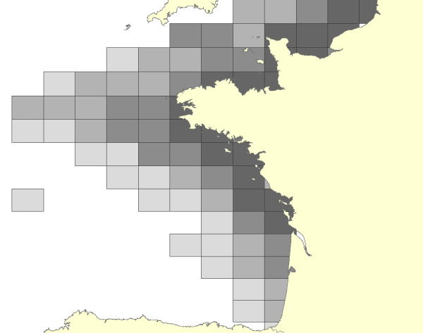
L'activité est exprimée en nombre de mois-navires (somme des mois travaillés par l'ensemble des navires de la flotte considérée) par rectangle statistique et par trimestre, des navires de pêche français pratiquant les arts traînants de fond (chalut de fond et drague) et ayant une activité sur la façade Manche-Atlantique française en 2008. Données utilisées dans le cadre d'une étude, visant à l'identification de zones de moindres contraintes pour l'exploitation de granulats marins (étude confiée par le Ministère chargé de l'écologie).
-

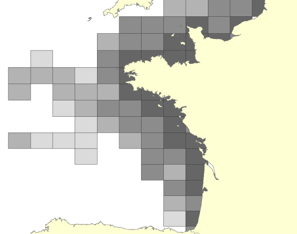
La dépendance aux rectangles statistiques CIEM est exprimée en nombre de navires dépendants. Elle est estimée sur la base d'un taux de fréquentation du navire sur le secteur pour l'année 2008. Le taux de fréquentation correspond au rapport entre le nombre de mois travaillés dans un rectangle statistique donné et le nombre total de mois travaillés. La donnée est disponible ici pour les navires dépendants : - de 50 à 75 % ; - à plus de 75%. Une distinction est également faite selon la pratique des navires : arts dormants (casier, trémail, filet droit, palangre de fond) ou arts traînants de fond (chalut de fond, drague). La donnée de dépendance à plus de 50 % tous arts confondus est une synthèse de tous les navires quel que soit le type d’engin mis en œuvre. Données calculées dans le cadre d'une étude visant à l'identification de zones de moindres contraintes pour l'exploitation de granulats marins (étude confiée par le Ministère chargé de l'écologie).
-
Cartographie des écluses à poissons au XXème siècle de l'Île d'Oléron et des écluses ayant existé d'après consultation de sources historiques.
-

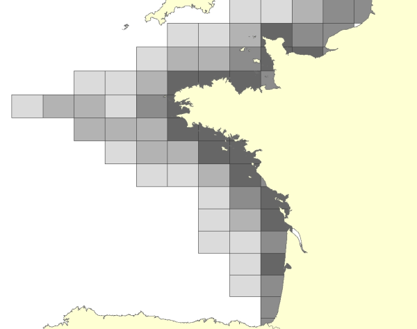
L'activité est exprimée en nombre de mois-navires (somme des mois travaillés par l'ensemble des navires de la flotte considérée) par rectangle statistique et par trimestre, des navires de pêche français pratiquant les arts dormants (casier, trémail, filet droit, palangre de fond) et ayant une activité sur la façade Manche-Atlantique française en 2008. Données utilisées dans le cadre d'une étude, visant à l'identification de zones de moindres contraintes pour l'exploitation de granulats marins (étude confiée par le Ministère chargé de l'écologie).
-

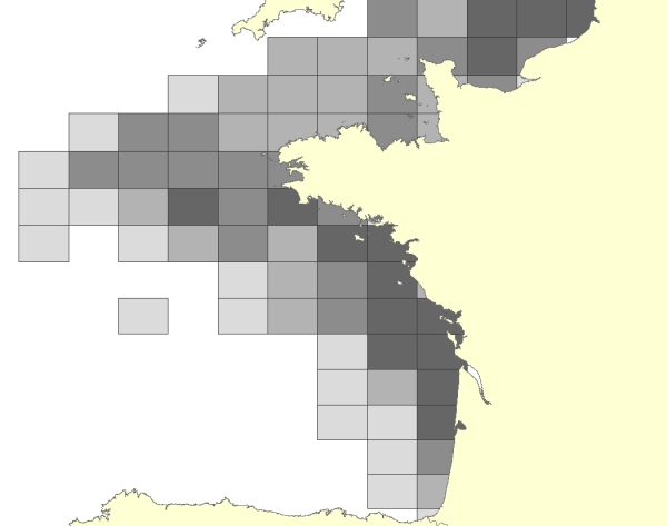
La quantité débarquée par les navires de pêche est exprimée en tonnes par rectangle statistique CIEM. Les espèces considérées sont uniquement celles susceptibles d'être impactées par l'extraction de granulats marins. La donnée est disponible ici pour l'année 2008 par groupe d'espèces (céphalopodes, coquillages, crustacés, espèces démersales et espèces benthiques) et par trimestre. Données utilisées dans le cadre d'une étude visant à l'identification de zones de moindres contraintes pour l'exploitation de granulats marins (étude confiée par le Ministère chargé de l'écologie).
-
Les sous divisions CGPM/GFCM ou GSA, « Geographical Sub-Areas » sont un découpage des divisions GFCM utilisé notamment pour l'attribution des quotas de pêche.
 Catalogue PIGMA