/Données dérivées/Données de type modèle
Type of resources
Available actions
Topics
Keywords
Contact for the resource
Provided by
Years
Formats
Representation types
Update frequencies
status
Scale
Resolution
-

This metadata corresponds to the EUNIS Littoral biogenic habitat (salt marshes) types, predicted distribution of habitat suitability dataset. Littoral habitats are those formed by animals such as worms and mussels or plants (salt marshes). The verified littoral biogenic habitat samples used are derived from the Braun-Blanquet database (http://www.sci.muni.cz/botany/vegsci/braun_blanquet.php?lang=en) which is a centralised database of vegetation plots and comprises copies of national and regional databases using a unified taxonomic reference database. The geographic extent of the distribution data are all European countries except Armenia and Azerbaijan. The modelled suitability for EUNIS saltmarsh habitat types is an indication of where conditions are favourable for the habitat type based on sample plot data (Braun-Blanquet database) and the Maxent software package. The modelled suitability map may be used as a proxy for the geographical distribution of the habitat type. However, note that it is not representing the actual distribution of the habitat type. As predictors for the suitabilty modelling not only Climate and Soil parameters have been taken into account, but also so-called RS-EVB's, Remote Sensing-enabled Essential Biodiversity Variables like Landuse, Vegetation height, Phenology, LAI(Leave Area Index) and Population density. Because the EBV's are restricted by the extent of the Remote Sensing data (EEA38 countries and the United Kingdom) the modelling result does also not go beyond this boundary. The dataset is provided both in Geodatabase and Geopackage formats. The Training map files show the modelled suitable distribution, omitting the 10% of occurrence records in the least suitable environment under the assumption that they are not representative of the overall suitable habitat distribution. The 10 percentile training presence is an arbitrary threshold which omits all regions with habitat suitability lower than the suitability values for the lowest 10% of occurrence records.
-

The raster dataset (1ºx1º) shows the projected change in relative sea level (in metres) in 2081-2100 compared to 1986-2005 for the medium-low emission scenario RCP4.5, based on an ensemble of Coupled Model Intercomparison Project Phase 5 (CMIP5) climate models. Projections consider land movement due to glacial isostatic adjustment but not land subsidence due to human activities. No projections are available for the Black Sea. The dataset has been used as a source for an earlier version of the EEA indicator “Global and European Sea Level”: https://www.eea.europa.eu/data-and-maps/indicators/sea-level-rise-5/assessment.
-
This product includes all Shom digital files for tidal currents on mainland French coasts (Channel and Atlantic coasts) in mesh format. These digital files indicate surface tidal current components, hour by hour and for two typical tidal coefficients (45 and 95) and maximum current speeds for a mean spring tide. Brest is taken as the reference port for viewing purposes. The current points included in these files correspond to the arrows shown on current atlases.
-
Le modèle hydrodynamique MARS2D pour la zone Aquitaine (PREVIMER_L1-MARS2D-AQUI250) est un modèle 2D de résolution spatiale 250m qui fournit les courants, niveaux de la mer et surcotes/décotes toutes les 15 minutes (fenêtre de prévision à 4 jours).
-
The bathymetric DEM of the atlantic facade with a resolution of 0.001° (~ 100 m) was prepared as part of the HOMONIM project. It encompasses part of the North Sea, the Channel and the Bay of Biscay. Offshore, this DTM extends beyond the slope to approximately 4800 m depth. The DEM is designed to be used in hydrodynamic models in order to produce high-precision forecasts for coastal water levels and sea conditions and therefore improve the pertinence of the Waves-Submersion monitoring programme. This product is available with the Lowest Astronomic Tide (LAT) or the Mean Sea Level (MSL) as a vertical datum.
-

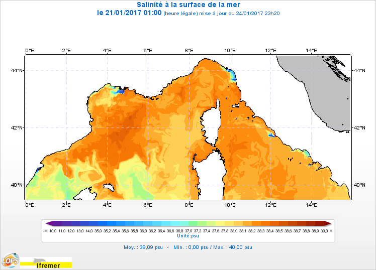
Le modèle hydrodynamique MARS3D sur la façade Méditerranée Nord-Ouest (MARC_F2-MARS3D-MENOR1200) est un modèle 3D de résolution spatiale 1,2 km sur 60 niveaux qui fournit les courants, niveaux de la mer, température et salinité toutes les heures.
-

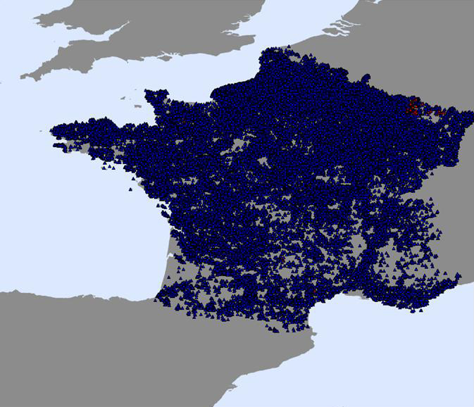
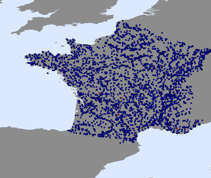
Sites des exploitations de matériaux fermées sur le territoire métropolitain - Couches de l'Observatoire des Matériaux, France-BRGM
-

Sites des exploitations de matériaux en activité sur le territoire métropolitain - Couches de l'Observatoire des Matériaux, France-BRGM
-
Le modèle biogéochimique B1-ECOMARS3D-MANGA4000 sur la façade Manche Atlantique est un modèle 3D de résolution spatiale 4km qui fournit les concentrations de nutriments et de plancton toutes les heures sur 30 niveaux
-
The Shom uses a 2D barotropic version of the HYCOM code (https://hycom.org/) to compute water level /surge forecasts (astronomical tides and meteorological surges) for the Atlantic, Mediterranean, Antilles-Guyane and Indian Ocean domains. The configurations use curvilinear grid with resolutions of several km offshore and ranging from 1.5km to around 500m on the french mainland coasts and the Antilles-Guyana coast. A downscaling by nesting allows a resolution of 800m to 200m over the Indian domain. These models have been adapted by the Shom to be operable in coastal areas by taking into account, in particular, the tide and high resolution bathymetry in these areas (from 100m for DTMs of facade to 20m for coastal DTMs) using Litto3D surveys by airborne LIDAR. The models are operated by Météo-France and the Shom in the framework of the HOMONIM project for the coastal flood/wave warning system.
 Catalogue PIGMA