/Environmental Status/Species
Type of resources
Available actions
Topics
Keywords
Contact for the resource
Provided by
Years
Formats
Representation types
Update frequencies
status
Scale
Resolution
-
The raster corresponds to the predicted Mediterranean bioregions of megabenthic communities.
-
The rasters correspond to the prediction uncertainties associted with the production of Mediterranean bioregions of megabenthic communities
-
These rasters correspond to the environmental predictors used in the production of Mediterranean bioregions of megabenthic communities
-
The shapefile corresponds to areas where predicted bioregions were extrapolated for lack of benthic in-situ observations.
-

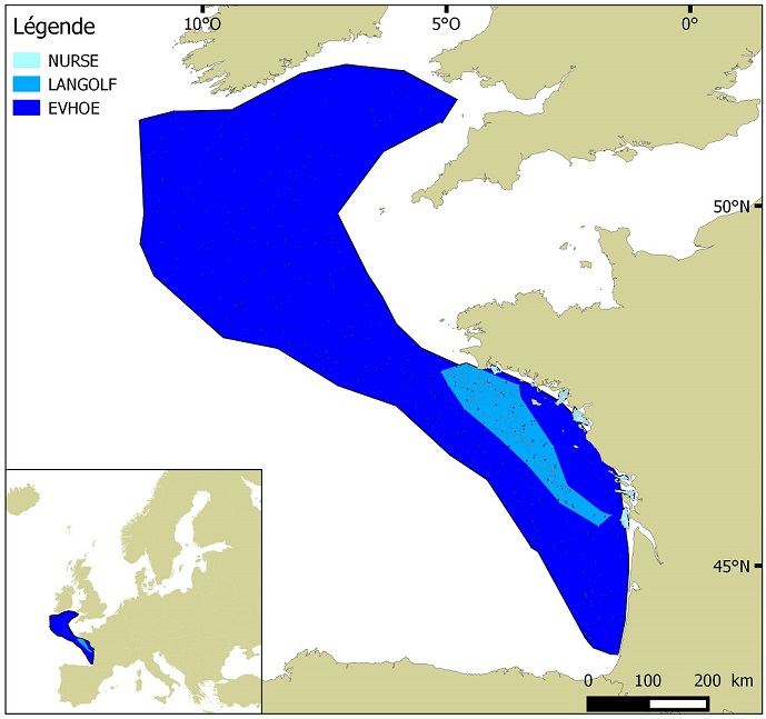
Distribution of benthic invertebrate species in Atlantic based on cumulative and interpolated relative abundance density data from fisheries surveys EVHOE (2008-2013), LANGOLF (2011-2013), NURSE (2000-2013), ORHAGO (2011-2015)
-
-

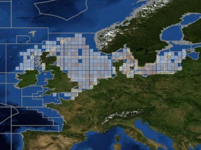
ICES database of trawl surveys
-
The dataset includes age- and length-based catch per unit effort data for commercial fish species collected by the French trawl survey EVHOE.
-

The associated data highlights the sampling programme for the data acquisition campaign of Observation on the Aerial Platform for the SAMM2 campaign (Aerial Marine Megafauna Monitoring) conducted by the PELAGIS observatory.
-

 Catalogue PIGMA