/Human Activities/Coastal monitoring networks
Type of resources
Available actions
Topics
Keywords
Contact for the resource
Provided by
Representation types
Update frequencies
status
Scale
-
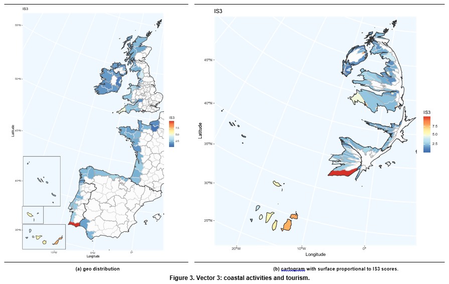
It covers indicators related to demographic pressure, tourism and recreation, economic devel- opment and land use and infrastructure development. This vector captures the impact of human coastal activities on vulnera- bility. In this framework, we are particularly interested in the tourism sector, which is one of the main economic activities in the coast. Tourism is an important economic sector due to its contribution to GDP and employment. According to the World Travel & Tourism Council, Tourims generates 10.4% of all global economic activity. It contributes 319 million jobs, representing one in ten of all jobs globally. It is a sector that has been growing faster than the global economy for the last eight years. Europe plays an important role in this sector with 51% of international tourits arrivals and 39% of international tourist revenues. Taking into account the countries included in the European Atlantic Arc, it is worth pointing out that France and Spain are first and second, respectively, in the world ranking of international tourist arrivals, with United Kingdom in the seventh position. With respect to international tourism revenues, Spain and France are second and third in the world ranking, respectively, while United Kingdom occupies the fifth position. Coastal tourism contributes significantly in theses coun- tries. It represents 75.6% of total tourism in Spain, 28% in Portugal, 23% in France, 10% in Ireland and 6% in the United Kingdom (Foley et al., 2014, p.204).
-
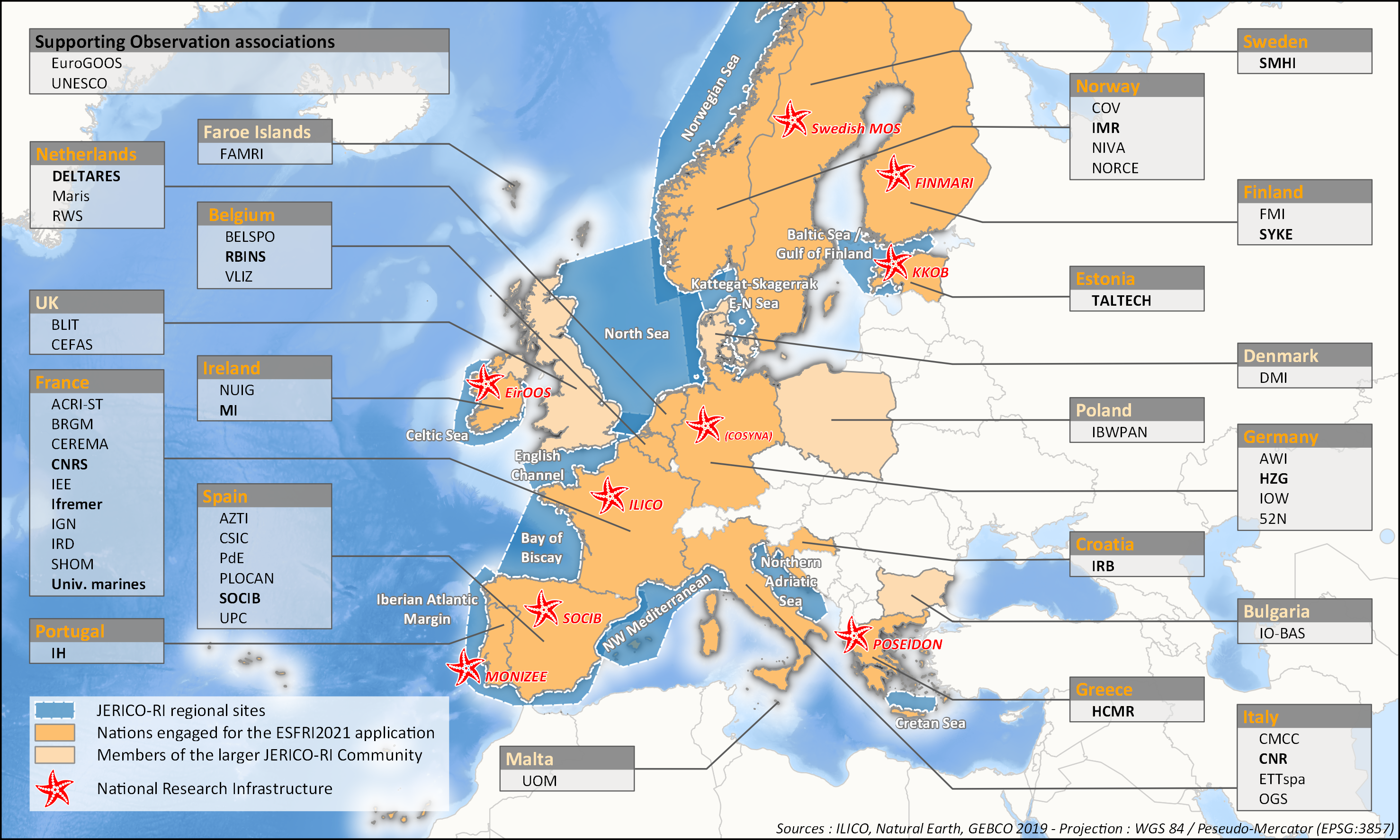
aThis survey action has been undertaken as part of WP6 of the H2020 JERICO-S3 project. Its integration in Sextant is the first step towards a comprehensive and extensive data catalog for the JERICO Research Infrastructure. JERICO-S3, Description of Work - WP6 : Data Management Task 6.2: Data management for coastal platforms (M1-48) (Lead: HCMR) Subtask 6.2.1: Identify and update the overview of JERICO-RI involved platforms and data (SMHI, MARIS, IFREMER) (M1-48) The JERICO dataset catalogue has proven a useful tool for creating an overview of platforms and data relevant for the project this and will be updated. Input from other WP’s will be used to identify the actual JERICO platforms, including the PSS, TNA platforms, and IRS. Partners will collect and describe coastal platforms in the dataset catalogue (technically run in WP7) including pointers to data, which variables (related to EOV’s) published as D6.2. Subtask 6.2.2: Best practice capturing for “mature” platforms with physical and BGC parameters (HCMR, SMHI, CNR, ETT, SOCIB, HZG, RWS) (M6-42). For the following platform types there will be activities supporting data management as defined under T6.4 in close relation to the Virtual Research Environment in WP7: HF radars (CNR), Gliders (SOCIB, ETT), FerryBox (HZG) The work for each platform type will follow basically the same approach and will cooperate with WP4 (PSS) and WP3 (IRS). The experts will identify the existing standards, and possible data management best practices (D6.3). At the end of the project an evaluation will be done of the level of Best Practice adoption at the IRSs and PSSs in the project, as well as the use of the VRE by the partners engaged in WP3 and WP4 (D6.10). This will be done in cooperation with WP3 and WP4, and is an important condition for data to be accessible for use in the Virtual Environment in T7.4.
-
-

-
-
-
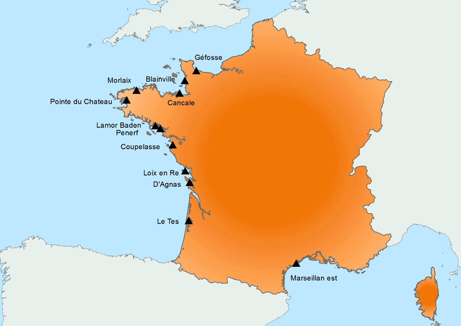
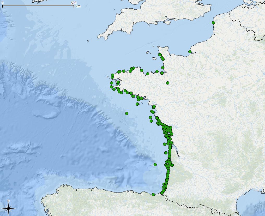
Created in 2015, it follows on from the RESCO launched in 2009, and REMORa launched in 1993. In 2015, the structure and operation of the former RESCO network was used to implement planned monitoring of oysters. More specifically, the sentinel batches used by the network, representing 3 age classes (6 months, 18 months of the previous year and 30 months of the previous year) are monitored regularly (frequency: bi-monthly or monthly). throughout the year at 12 national sites (corresponding to former RESCO sites). At each passage, counts are made to assess the mortality rate, and different types of laboratory diagnostic tests will be performed: - initially, the new spat batches (Ifremer Standardized Spats) will undergo specific PCR analyzes to search for potentially present infectious agents (OsHV-1 and Vibrio aestuarianus) but also non-specific analyzes (histology, classical bacteriology) for the possible detection of other pathogenis agents ; - for the detection of emerging diseases, the first dying batches detected for each age group, for each site, will undergo specific laboratory (OsHV-1 and Vibrio aestuarianus PCR) and non-specific (histology) diagnostic tests in order to detect as early as possible emerging diseases in these sentinel batches; - for the detection of exotic diseases, in the absence of a hierarchy of exotic diseases being available for oysters, it was decided to monitor the parasite Mikrocytos mackini because infection with this parasite is regulated at European level, on one of the RESCOII sites (Loix en Ré) previously identified as a site at risk with respect to the introduction of this parasite. In addition to these mortality follow-ups and the laboratory diagnoses, each site is equipped with a probe to allow it to gather environmental parameters (temperature, pressure, salinity) at high frequency. The various results are stored in the Quadrige² database, and are available for the various actors involved. The network is closely linked to a dedicated website which allows the dissemination of objectives, protocols and results, and which will be updated every month. In parallel, newsletters summarizing the results obtained are sent by e-mail every month to the State services.
-
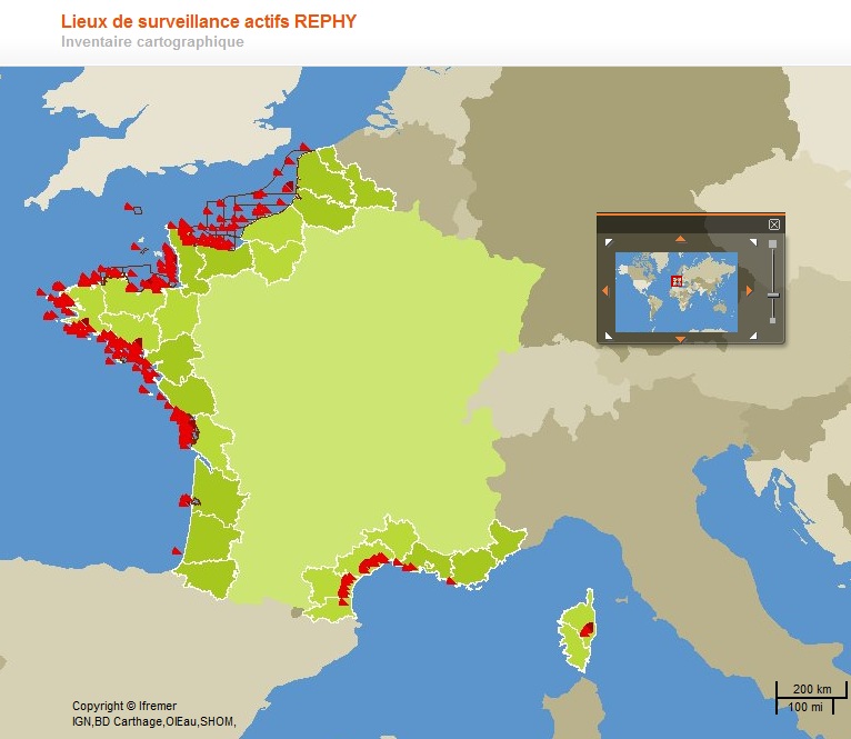
National network for monitoring the health status of shellfish populations in natural beds or in shellfish growing areas. It performs a regulatory role and a public service activity delegated by the Ministry of Agriculture and Fisheries through the DGAL (General Directorate for Food).
-
-
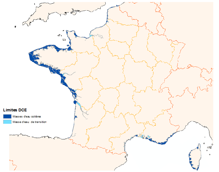
The Water Framework Directive 2000/60/CE is applied to all European Union member states and establishes a new framework for community policy in the water sector with a view to improving management of aquatic environments.
 Catalogue PIGMA