CDS-SISMER
Type of resources
Available actions
Topics
Keywords
Contact for the resource
Provided by
Years
Formats
Representation types
Update frequencies
status
Scale
-
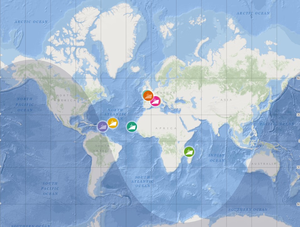
La Flotte océanographique française regroupe une panoplie de navires de recherche, d'engins sous-marins et d'équipements mobiles, lui donnant accès à tous les océans et mers du globe, hors zone polaire : - quatre navires hauturiers (Marion Dufresne, Pourquoi pas ?, L'Atalante, Thalassa) capables de réaliser des campagnes océanographiques sur tous les océans (hors zones polaires) ; - deux navires semi-hauturiers (Antea et Alis) réalisant des missions océanographiques de physique, chimie, halieutique, d'exploration de la colonne d'eau et de cartographie sous-marine. Ces navires opèrent en Méditérannée, dans l'océan Indien et Tropical atlantique, dans le Pacifique Sud-ouest et en Outre-mer ; - cinq navires côtiers (L'Europe, Thalia, Côtes de la Manche, Tethys II et Haliotis) utilisés en Manche-Atlantique et en Méditerranée pour des campagnes scientifiques nombreuses et variées avec une capacité à assurer un continuum de moyens entre le littoral et le hauturier ; - sept navires de station, pouvant des sorties de la journée à trois jours, pour les plus récents, répartis sur les façades maritimes métropolitaines : Antedon II (Marseille), Sepia II (Wimereux), Nereis (Port-Vendres), Neomysis (Roscoff), Albert Lucas (Brest), Planula IV (Arcachon), Sagitta III (Nice). On peut connaître leur position en temps réel sur le site de la Flotte océanographique française. Un service de visualisation web WMS est également disponible.
-
Raw seismic reflection data archived at SISMER, acquired: - by oceanographic vessels and national equipment managed by the French Oceanographic Fleet (FOF) - by foreign oceanographic vessels in collaboration with Ifremer - by Ifremer's historic vessels (Jean Charcot, Nadir, Suroit) operated before the FOF was set up
-
Raw multibeam from acoustic echosounding of the water column and archived at SISMER. These data have been acquired: - by oceanographic vessels and national equipment managed by the French Oceanographic Fleet (FOF) - by foreign or national oceanographic vessels in collaboration with Ifremer
-
Raw underway marine gravity data archived at SISMER, acquired: - by oceanographic vessels and national equipment managed by the French Oceanographic Fleet (FOF) - by foreign oceanographic vessels in collaboration with Ifremer - by Ifremer's historic vessels (Jean Charcot, Nadir, Suroit) operated before the FOF was set up
-
Raw siescan sonar data archived at SISMER, acquired: - by oceanographic vessels and national equipment managed by the French Oceanographic Fleet (FOF) - by foreign oceanographic vessels in collaboration with Ifremer - by Ifremer's historic vessels (Jean Charcot, Nadir, Suroit) operated before the FOF was set up
-
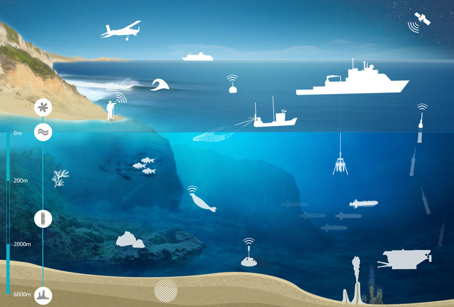
The SISMER (Scientific Information Systems of the Sea) is the Ifremer service in charge of the management of many marine databases or information systems which Ifremer is in charge of implementing.
-
Bottle samples measurements collected during the French hydrological cruises or during joint experiments.
-
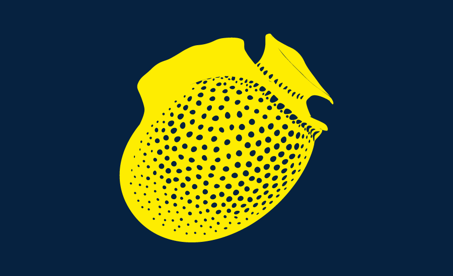
REPHY is a national network covering the coast of the French mainland along with that of three of its overseas departments: Martinique, Guadeloupe and Reunion Island. The aims are as follows: - to observe all phytoplankton species in the coastal waters and to monitor events such as coloured water, exceptional blooms, and the proliferation of species which are toxic or disruptive to marine fauna, - Particularly to monitor species producing toxins which are dangerous to shellfish consumers . These objectives are complementary, as the regular monitoring of all phytoplankton species makes it possible to detect known toxic and invasive species, but also to detect potentially toxic species. It is the presence of these toxic species in the water which triggers the monitoring of toxins in shellfish. The mission of REPHY is to monitor shellfish in their natural environment (such as parks and deposits). For shellfish removed from marine environments (that is to say in shellfish logistics establishments or on markets prior to export), national monitoring and control plans are organised by the General Food Directive at the French Ministry of Agriculture. Analyses are performed by the accredited departmental veterinary laboratories as organised by the National Reference Laboratory from the French Food Safety Agency.
-
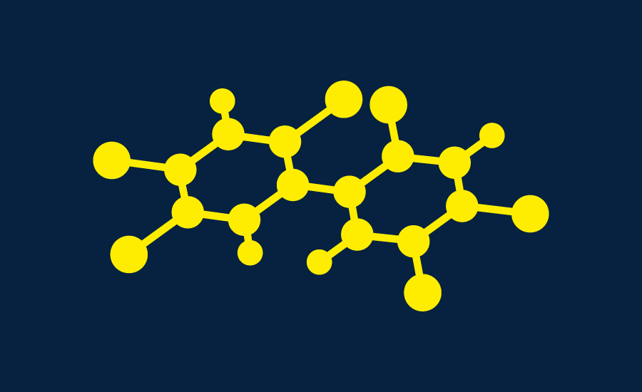
Since 2008, the Coastal Chemical Contamination Observation Network (ROCCH) has taken over from RNO (French National Observation Network for Quality in Marine Environments), which had existed since 1974. ROCCH aims to meet national, community and international obligations relating to monitoring chemicals in marine environments. It is therefore more of a control network than a heritage network as RNO once was. The backbone of ROCCH is to apply the European Water Framework Directive (WFD) and to meet the obligations set out in OSPAR Conventions and in Barcelona. As the WFD insisted on decentralization, ROCCH has gone from having just one project leader (the Ministry for the Environment) to having many decision-makers (water agencies, DIREN etc.). Chemical analyses are no longer conducted by IFREMER alone, but are attributed to other partners following calls for tender. ROCC also includes the monitoring of chemicals in shellfish production areas for the Food safety agency (DGAL) and the Ministry for Agriculture and Fisheries. Monitoring focuses on the three regulated metals: mercury, lead and cadmium in the given areas. Monitoring of these chemical contaminants is conducted in the three marine matrices: water, biota and sediment. Testing also includes imposex, the biological effect of tributyltin (TBT), as required by the OSPAR convention.
-

The French national network (REMI) includes a regular monitoring system and a warning system: - The regular monitoring system checks that the level of microbiological contamination in each production area remains within the limits set by the classification defined in the prefectural decree and tests unusual occurrences of contamination. - The warning system is triggered when results of the monotoring programme exceed or are at risk of exceeding the norms defining the quality classes and thresholds, or in case of contamination risk (pollution spillage, storms, etc.), or even in the case of a suspected or confirmed epidemic in shellfish.
 Catalogue PIGMA