 Catalogue PIGMA
Climate change
Type of resources
Available actions
Topics
Keywords
Contact for the resource
Provided by
Years
Formats
-
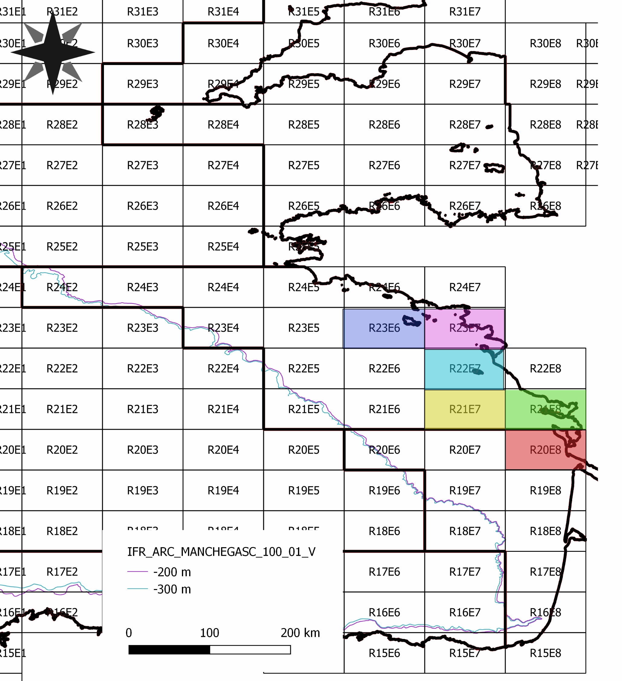
############# # Data description # ############# This dataset have been constructed and used for scientific purpose, available in the paper "Detecting the effects of inter-annual and seasonal changes of environmental factors on the the striped red mullet population in the Bay of Biscay" authored by Kermorvant C., Caill-Milly N., Sous D., Paradinas I., Lissardy M. and Liquet B. and published in Journal of Sea Research. This file is an extraction from the SACROIS fisheries database created by Ifremer (for more information see https://sextant.ifremer.fr/record/3e177f76-96b0-42e2-8007-62210767dc07/) and from the Copernicus database. Biochemestry comes from the product GLOBAL_ANALYSIS_FORECAST_BIO_001_028 (https://resources.marine.copernicus.eu/?option=com_csw&view=details&product_id=GLOBAL_ANALYSIS_FORECAST_BIO_001_028). Temperature and salinity comes from GLOBAL_ANALYSIS_FORECAST_PHY_001_024 product (https://resources.marine.copernicus.eu/?option=com_csw&view=details&product_id=GLOBAL_ANALYSIS_FORECAST_PHY_001_024). As fisheries landing per unit of effort is only available per ICES rectangle and by month, environmental data have been aggregated accordingly. ############### # Colomns description # ############### rectangle - The 6 ICES statistical rectangles used in the study. time_m - Time in months, from the beginning to the end of the study. annee = year mois = month (from 1 to 12) Poids = Weight of red mullet landed valeur = Temps_peche = fishing time Nb_sequence = number of fishing sequences Moy / Med / Var / StD Quartil_1 / Quartil_3 / min / max / CV / IQR = statistical descriptors of landing by rectangle and by month log_cpue = log of Med colomn mean_surface_s = mean of surface salinity by month and by rectangle median_surface_s = median of surface salinity by month and by rectangle mean_surface_t = mean of surface temperature by month and by rectangle median_surface_t = median of surface temperature by month and by rectangle si / zeu /po4 / pyc / o2/ nppv / no3 and nh4 mean and median concentration by rectangle and by month pc3 / pc2 / pc1 - projections of previous biochemestry variables on the three first axes of a PCA