 Catalogue PIGMA
Currents
Type of resources
Available actions
Topics
Keywords
Contact for the resource
Provided by
Years
Formats
Representation types
Update frequencies
status
Scale
Resolution
-
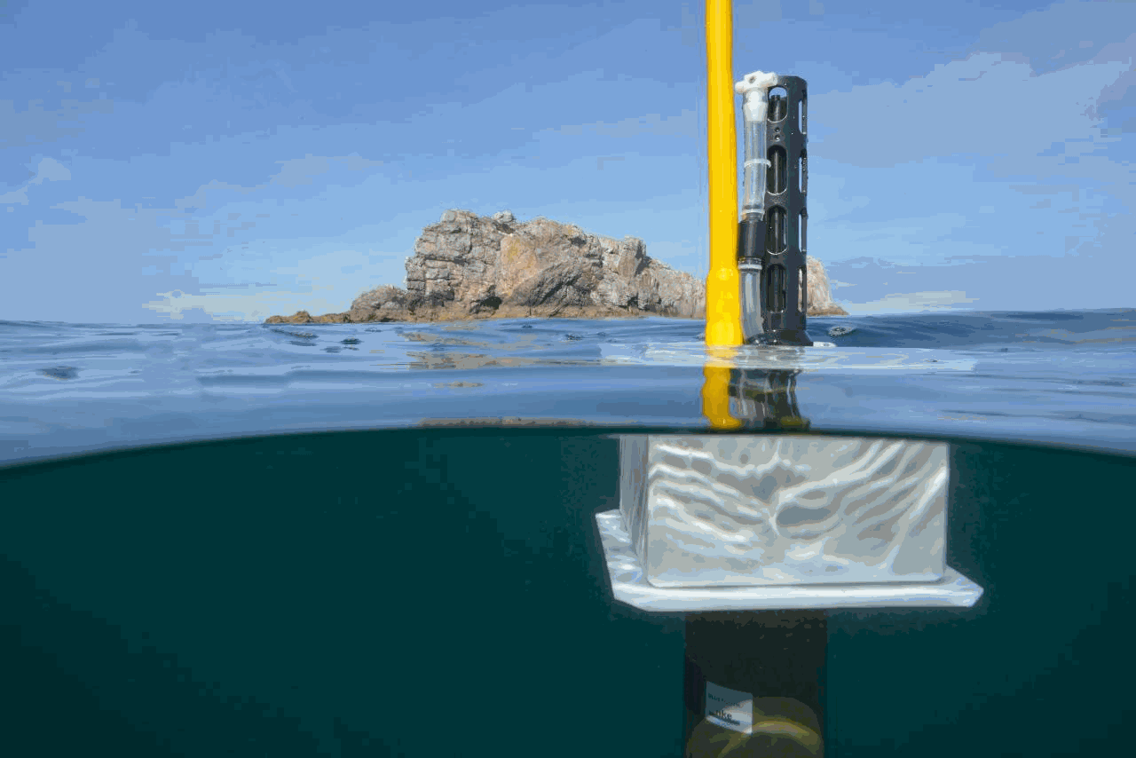
The continuously updated version of Copernicus Argo floats realtime currents product is distributed from Copernicus Marine catalogue: - https://resources.marine.copernicus.eu/?option=com_csw&view=details&product_id=INSITU_GLO_UV_NRT_OBSERVATIONS_013_048 The Argo current product generated by Copernicus in situ TAC is derived from the original trajectory data from Argo GDAC (Global Data Assembly Center) available at: - Argo float data and metadata from Global Data Assembly Centre (Argo GDAC). SEANOE. https://doi.org/10.17882/42182 In 2021, the GDAC distributes data from more than 15,000 Argo floats. Deep ocean current is calculated from floats drift at parking depth, surface current is calculated from float surface drift. An Argo float drifts freely in the global ocean, performing regular observation cycles. An observation cycle usually spreads over 10 days : - a surface descent to a parking depth (generally 1500 meters deep) - a 10-day drift at this parking depth - an ascent to the surface (vertical profile) - A short surface drift for data transmission The data transmitted at each cycle contain temperature, salinity observations (and additional biogeochemical parameters if applicable), positions (gps or argos), technical data. The ocean current product contains a NetCDF file for each Argo float. It is updated daily in real time by automated processes. For each cycle it contains the surface and deep current variables: - Date (time, time_qc) - Position (latitude, longitude, position_qc) - Pressure (pres, pres_qc, representative_park_pressure for parking drift, 0 decibar for surface drift) - Current (ewct, ewct_qc, nsct, nsct_qc; the current vector is positioned and dated at the last position of the N-1 cycle) - Duration (days) of the current variable sampling (time_interval) - Grounded indicator - Positions and dates have a QC 1 (good data). Positions and dates that do not have a QC 1 are ignored. The positions are measured during the surface drift (Argos or GPS positioning). For the deep current of cycle N, we take the last good position of cycle N-1 and the first good position of cycle N. For the surface current of cycle N, we take the first and last good position of the N cycle.
-
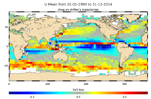
The In Situ delayed mode product designed for reanalysis purposes integrates the best available version of in situ data for ocean surface currents. The data are collected from the Surface Drifter Data Assembly Centre (SD-DAC at NOAA AOML). All surface drifters data have been processed to check for drogue loss. Drogued and undrogued drifting buoy surface ocean currents are provided with a drogue presence flag as well as a wind slippage correction for undrogued buoys. Altimeter and wind data have been used to extract the direct wind slippage from the total drifting buoy velocities. This product is designed to be assimilated into or for validation purposes of operational models operated by ocean forecasting centers for reanalysis purposes or for research community. These users need data aggregated and quality controlled in a reliable and documented manner.
-
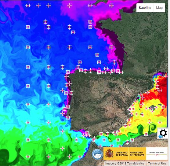
Forecast, Real time and historical metocean data for the spanish waters
-
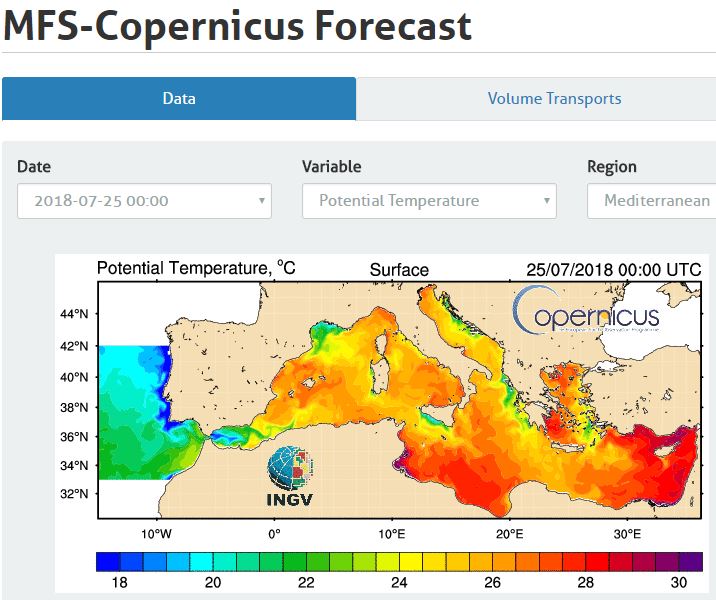
Web portal providing physical state forecasting for the Mediterranean Sea.
-
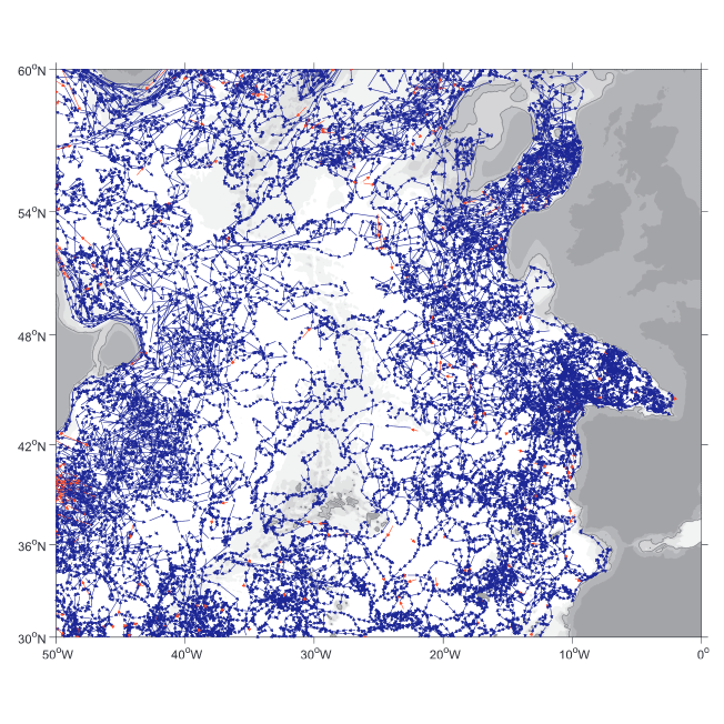
A world deep displacement dataset comprising more than 1600 000 Argo floats deep displacements, has been produced from the global Argo float database (GDAC). ANDRO dataset was completed over the period 2000-2009, then was partially but yearly updated since 2010. ANDRO actual contents and format is described in the user guide, which must be carefully read before using ANDRO (ANDRO format is also described in Ollitrault M. et al (2013)). One important feature of ANDRO is that the pressures measured during float drifts at depth, and suitably averaged are preserved in ANDRO (see Figure 2). To reach this goal, it was necessary to reprocess most of the Argo raw data, because of the many different decoding versions (roughly 100) not always applied by the DACs to the displacement data because they were mainly interested in the p,t,S profiles. The result of our work was the production of comprehensive files, named DEP (for déplacements in French), containing all the possibly retrievable float data. For detailed information and status of the last released ANDRO product, please visit the dedicated Argo France web page: https://www.umr-lops.fr/SNO-Argo/Products/ANDRO-Argo-floats-displacements-Atlas
-
The SIROCCO ocean circulation simulation covers the western Mediterranean Sea ( 33°N - 44.5°N / 1.2°W - 16.3°E ) and the period from 1990 to 2023. It is based on the BlueLion configuration of the Symphonie hydrodynamic model (Marsaleix et al., 2008, 2019). The horizontal resolution of the model bipolar grid (1230 x 1308) varies from 340 m in the northwestern Mediterranean to 4.5 km in the Ionian Sea. The vertical grid has vanishing quasi-sigma 50 levels. This dataset includes daily files of sea surface height, temperature, salinity and current velocities. This simulation was developed in the framework of the PPR RIOMAR. The initial and open boundary conditions, the atmospheric forcing and the rivers discharge (except from the Gulf of Lion) were provided by the CNRM-RCSM6B, regional climate system model (atmosphere, ocean, land surface hydrology) developed at CNRM (Météo-France) over the Mediterranean CORDEX domain (Med-CORDEX). This coupled simulation is based on the NEMO model at 1/12° for the ocean, the Aladin-Climat model at 12 km for the atmosphere and the ISBA-CTRIP land surface hydrology model. The Gulf of Lion rivers were considered using the hydrology database HydroPortail (http ://www.hydro.eaufrance.fr).
-
The SIROCCO ocean circulation climate simulations cover the western Mediterranean Sea ( 33°N - 44.5°N / 1.2°W - 16.3°E ) and the periods from 2000 to 2020, from 2030 to 2049, and form 2080 to 2099. It is based on the BlueLion configuration of the Symphonie hydrodynamic model (Marsaleix et al., 2008, 2019). The horizontal resolution of the model bipolar grid (1230 x 1308) varies from 340 m in the northwestern Mediterranean to 4.5 km in the Ionian Sea. The vertical grid has vanishing quasi-sigma 50 levels. This dataset includes daily files of sea surface height, temperature, salinity and current velocities. This simulations were developed in the framework of the ANR POPNCO and the PPR RIOMAR. The initial and open boundary conditions, the atmospheric forcing and the rivers discharge were provided by the CNRM-RCSM6B, regional climate system model (atmosphere, ocean, land surface hydrology) developed at CNRM (Météo-France) over the Mediterranean CORDEX domain (Med-CORDEX). This coupled simulation is based on the NEMO model at 1/12° for the ocean, the Aladin-Climat model at 12 km for the atmosphere and the ISBA-CTRIP land surface hydrology model.
-
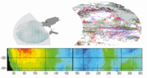
This delayed mode product designed for reanalysis purposes integrates the best available version of in situ data for ocean surface currents and current vertical profiles. It concerns three delayed time datasets dedicated to near-surface currents measurements coming from three platforms (Lagrangian surface drifters, High Frequency radars and Argo floats) and velocity profiles within the water column coming from the Acoustic Doppler Current Profiler (ADCP, vessel mounted only). The latest version of Copernicus surface and sub-surface water velocity product is also distributed from Copernicus Marine catalogue.
-
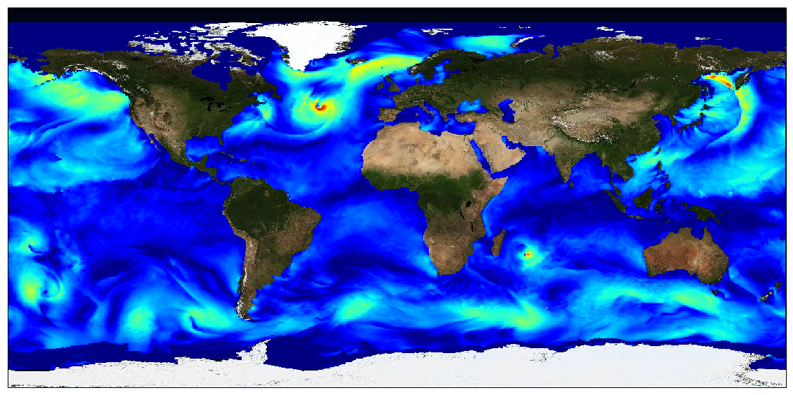
This dataset provides surface Stokes drift as retrieved from the wave energy spectrum computed by the spectral wave model WAVEWATCH-III (r), under NOAA license, discretized in wave numbers and directions and the water depth at each location. It is estimated at the sea surface and expressed in m.s-1. WAVEWATCH-III (r) model solves the random phase spectral action density balance equation for wavenumber-direction spectra. Please refer to the WAVEWATCH-III User Manual for fully detailed description of the wave model equations and numerical approaches. The data are available through HTTP and FTP; access to the data is free and open. In order to be informed about changes and to help us keep track of data usage, we encourage users to register at: https://forms.ifremer.fr/lops-siam/access-to-esa-world-ocean-circulation-project-data/ This dataset was generated by Ifremer / LOPS and is distributed by Ifremer / CERSAT in the frame of the World Ocean Circulation (WOC) project funded by the European Space Agency (ESA).
-

This dataset contains the high-frequency total horizontal current at 15m depth on a global grid at 1/4° resolution. It is composed by the addition of two components, the first is the Geostrophic current derived by Altimetry, from the DT-2018 CMEMS database, and the second is the unsteady-Ekman ageostrophic component forced by the wind. All the details about the algorithm and the physical content of this ageostrophy component are given in the ATBD. The data are available through HTTP and FTP; access to the data is free and open. This dataset was generated by Datlas Ocean and is distributed by Ifremer / CERSAT in the frame of the World Ocean Circulation (WOC) project funded by the European Space Agency (ESA).