Hydrography
Type of resources
Available actions
Topics
Keywords
Contact for the resource
Provided by
Years
Formats
Representation types
Update frequencies
status
Scale
Resolution
-

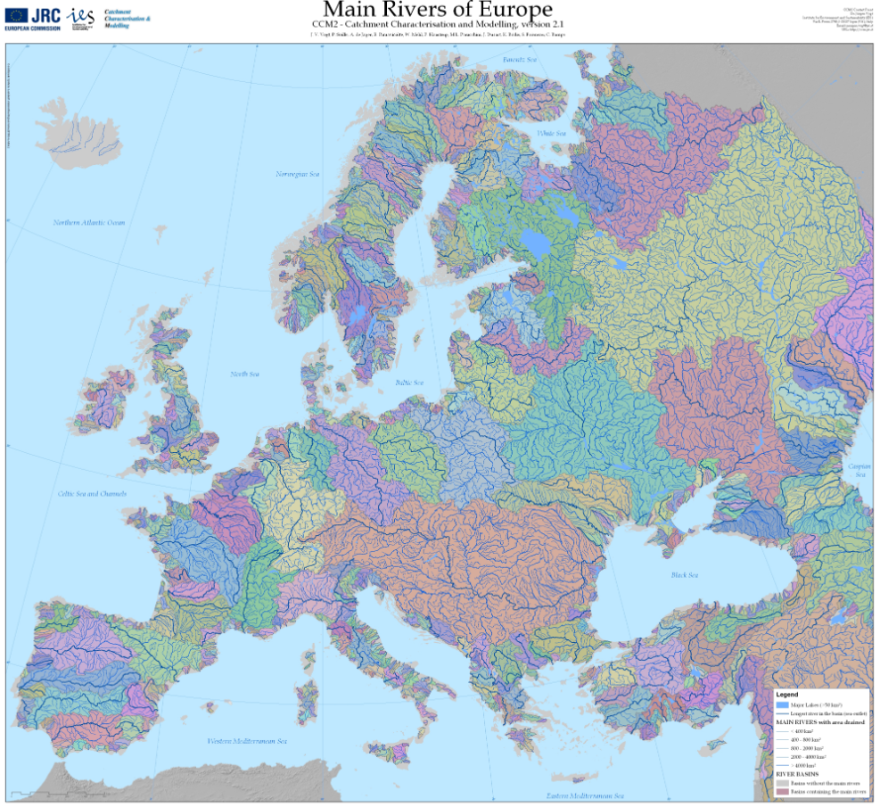
The Catchment Characterisation Model (CCM2) database covers the entire European continent, including the Atlantic islands, Iceland and Turkey. It includes a hierarchical set of river segments and catchments based on the Strahler order, a lake layer and structured hydrological feature codes based on the Pfafstetter system. It allows for analysis from the regional to the continental scale, corresponding to traditional mapping scales of up to 1:500,000. CCM2 covers an area of about 12,000,000 square kilometers and includes more than 2,000,000 primary catchments. These can be aggregated to drainage basins at different hierarchical levels, forming, for example, about 650 river basins of more than 1000 square kilometers. CCM2 further includes a coastline, fully congruent with the river basins, and some 70,000 lakes. The layers are generated from a 100 meters resolution digital terrestrial elevation model. The following layers are available: Seaoutlets: the major river basins, Main drains: the major rivers, Lakes: all surface water larger than 25x25 metres, Coastlines: coast line extracted from Image2000 imagery, River segments: Drainage channels from the primary catchments, Catchments: Primary catchments. This data-set refers to Lakes and River basins.
-
The coastal heights data combines two datasets: the land-sea mask of the gridded EMODnet bathymetry and the height of high-water (HAT) relative to chart datum (LAT) as computed with the GTSM tide model. Near the coast a diffusion scheme is applied to make the heights consistent with the land-sea mask. Finally, only grid cells that are classified as sea, but neighbor a land cell are selected. The main assumption in this approach is that the height of the topography near the coastline is close to the high-water mark. The main purpose of this dataset is to improve extrapolation towards the coast. In many areas around Europe there is a (small) gap between the point closest to the coast for which a survey is available and the coastline. In this way interpolation from coarser background data is avoided.
-
Monthly time series of Total Suspended Matter (TSM) from satellite data [mg/l]
-
Monthly time series of Total Nitrogen [mg/l] from model data
-
Monthly time series of Water Discharge (Qw) [m3/s] from in situ and model data
-
Annual time series of Total Nitrogen/Nitrates [mg/l] from in situ and model data
-
Monthly time series of Total Phosphorous [mg/l] from model data
-
Annual time series of Total Suspended Matter (TSM) from satellite data [mg/l]
-
Annual time series of Water Discharge (Qw) [m3/s] from in situ and model data
-
Annual time series of Total Phosphorous/Phosphates [mg/l] from in situ and model data
 Catalogue PIGMA