 Catalogue PIGMA
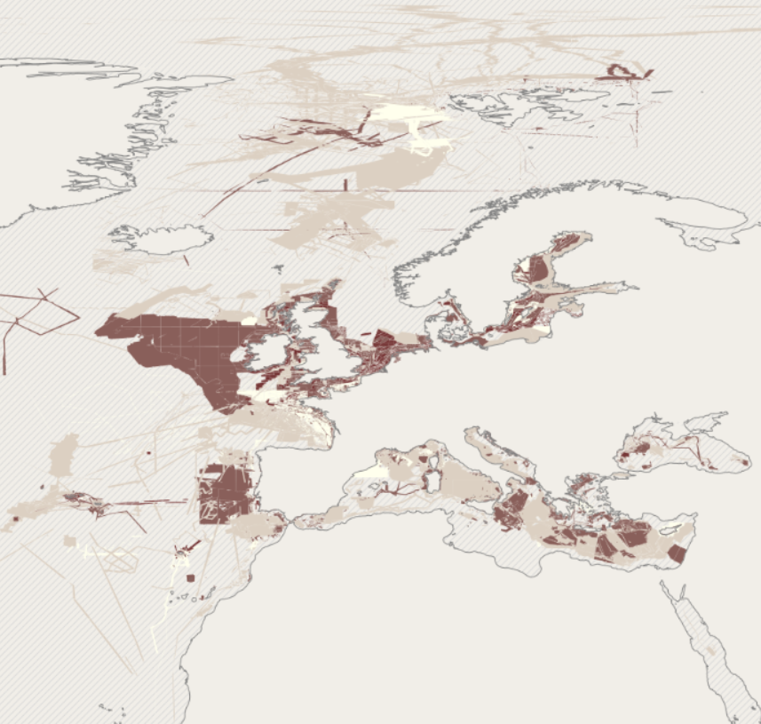
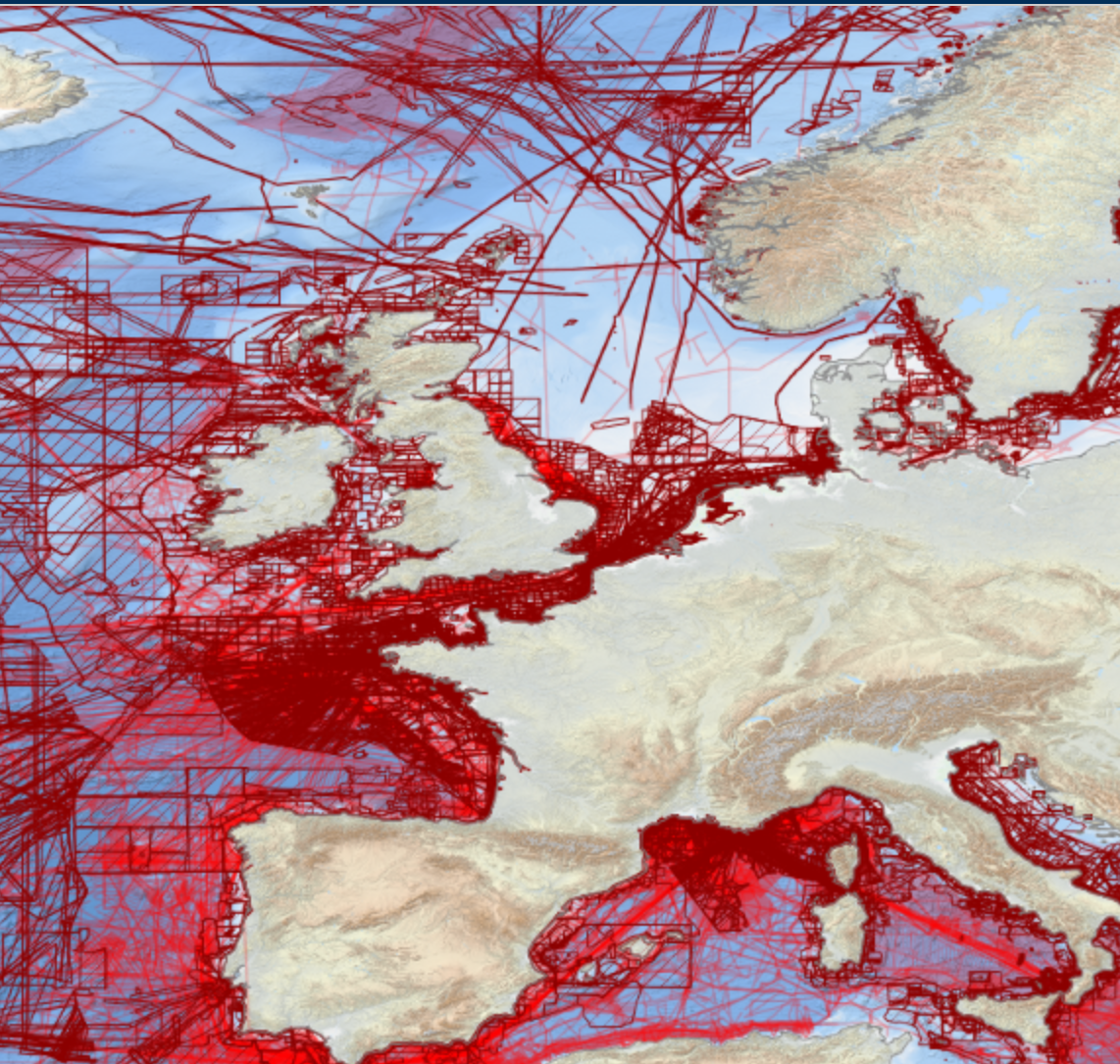
Oceans
Type of resources
Available actions
Topics
Keywords
Contact for the resource
Provided by
Years
Formats
Representation types
Update frequencies
status
Scale
Resolution
-

EMODnet bathymetry is composed of a multitude of datasets from a multitude of data providers. Users of the resulting grid and associated datasets need to be able to evaluate at the grid node level the quality of the bathymetric data and product they will be using. For this EMODnet Bathymetry has introduced a Quality index (QI). The QI is available as a WFS service providing vector data and as WMS providing the QI as an image service. The aim of the quality index is to: • help data users to evaluate quickly the dataset they are about to request, • indicate to the EMODnet Basin coordinators what are the limitations of the dataset they are about to merge while building the EMODnet DTM and to • be used as the basis of the evaluation of the quality of the EMODnet DTM. Service URL: https://ows.emodnet-bathymetry.eu/wfs
-
Benthic Non Native Species Tool (Cefas)
-
EMODnet bathymetry is composed of a multitude of datasets from a multitude of data providers. Users of the resulting grid and associated datasets need to be able to evaluate at the grid node level the quality of the bathymetric data and product they will be using. For this EMODnet Bathymetry has introduced a Quality index (QI). The QI is available as a WFS service providing vector data and as WMS providing the QI as an image service. The aim of the quality index is to: • help data users to evaluate quickly the dataset they are about to request, • indicate to the EMODnet Basin coordinators what are the limitations of the dataset they are about to merge while building the EMODnet DTM and to • be used as the basis of the evaluation of the quality of the EMODnet DTM. Service URL: https://ows.emodnet-bathymetry.eu/wfs
-
EMODnet Bathymetry has adopted the CDI Data Discovery & Access service as developed and operated by SeaDataNet, the pan-European network of NODCs, to bring together and provide access to available high resolution bathymetric survey data sets from many data providers, such as National Hydrographic Institutes, Research Institutes, and Survey companies. All bathymetric survey data are described with INSPIRE compliant metadata, following the CDI metadata profile, based on ISO 19115 – 19139 standards. This way, the CDI service gives users a highly detailed insight in the availability and geographical spreading of bathymetric survey data sets that are acquired and managed by an increasing group of data providers and for which users can request access for downloading. The CDI metadata are public domain and freely available for all users. However, a major part of the survey data sets is not freely available and requires negotiation with the data owners. The SeaDataNet CDI search, shopping and tracking mechanism facilitates identifying and requesting access to these background data sets from data providers. Note that all data sets are used internally with permission of the data owners for contributing to the EMODnet Digital Terrain Model (DTM) for the European sea regions. The service URL is : https://geo-service.maris.nl/emodnet_bathymetry/wfs?service=WFS&request=GetCapabilities. The layer in the Map Viewer facilitates users to view the locations of the CDI entries and to retrieve details of individual surveys by clicking on the map. From there users are linked to the actual CDI Data Discovery and Access service (https://cdi-bathymetry.seadatanet.org/search) for performing more queries and submitting requests for data access.
-

EMODnet bathymetry is composed of a multitude of datasets from a multitude of data providers. Users of the resulting grid and associated datasets need to be able to evaluate at the grid node level the quality of the bathymetric data and product they will be using. For this EMODnet Bathymetry has introduced a Quality index (QI). The QI is available as a WFS service providing vector data and as WMS providing the QI as an image service. The aim of the quality index is to: • help data users to evaluate quickly the dataset they are about to request, • indicate to the EMODnet Basin coordinators what are the limitations of the dataset they are about to merge while building the EMODnet DTM and to • be used as the basis of the evaluation of the quality of the EMODnet DTM. Service URL: https://ows.emodnet-bathymetry.eu/wfs
-
The Western Channel Observatory (WCO) is an oceanographic time-series and marine biodiversity reference site in the Western English Channel. In situ measurements are undertaken weekly at coastal station L4 and fortnightly at open shelf station E1 using the research vessels of the Plymouth Marine Laboratory and the Marine Biological Association. These measurements are complemented by PML's recognised excellence in ecosystem modelling and satellite remote sensing science. By integrating these different observational disciplines we can begin to disentangle the complexity of the marine ecosystem. The WCO measures several key parameters important to the functioning of the marine ecosystem such as light, temperature, salinity and nutrients. Station L4 has some of the longest time-series in the world for zooplankton and phytoplankton, and fish trawls have been made by the MBA for a century. Station E1 has a hydrographic series dating from 1903. These long series are complemented by hourly measurements made at our moorings situated at both stations. These can elucidate changes not captured by the routine weekly sampling.
-
-

The Marine Environmental Data and Information Network (MEDIN) is a partnership of UK organisations committed to improving access to UK marine data. MEDIN is open to all with an interest in marine data and information. We are sponsored by a consortium of 15 sponsors and partnered with over 50 organisations. MEDIN Sponsors include a range of UK marine organisations who support MEDIN’s principles and lead the UK in marine data management. To officially join the network and become a MEDIN Sponsor, please email MEDIN stating your interest at enquiries@medin.org.uk. Our partners represent government departments and agencies, research organisations and private companies and have committed to practise good data management to help future-proof and secure UK’s valuable marine data. MEDIN reports to the Marine Science Coordination Committee. The MEDIN portal contains information about 15,000 marine datasets. The United Kingdom Directory of Marine Observing Systems (UKDMOS), is a unique internet-based searchable database of marine monitoring conducted by UK organisations. Aiming to fulfil the basic requirement to know where, when and what is being monitored in the marine environment around the UK and provide information to help coordinate monitoring across different organisations, UKDMOS is a tool for searching monitoring programmes and series based on information such as the parameters measured or the frequency of measurements taken. UKDMOS is managed and updated by the Marine Environmental Data and Information Network (MEDIN).
-
Marine data sharing and preservation, managed & operated by the National Oceanography Centre. Part of the UK's National Oceanography Centre, BODC provide instant access to over 130,000 unique data sets. BODC data helps provide answers to both local questions such as the likelihood of coastal flooding, or global issues such as the impact of climate change. Data categories include: - Acoustics - Bathymetry and topography - Currents — horizontal and vertical velocity, Lagrangian currents and water transport rates - Meteorology — Radiosonde, Met. stations and data buoys - Optical properties — pigments, turbidity, irradiance - Sea level - Water column temperature and salinity - Water column chemistry — nutrients, carbons, oxygen - Waves — statistics and spectra
-
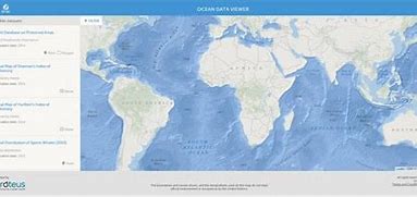
The Ocean Data Viewer offers users the opportunity to view and download a range of spatial datasets that are useful for informing decisions regarding the conservation of marine and coastal biodiversity. These decisions ultimately affect the ocean's health and productivity, which provide the ecosystem services that are necessary for our well-being, livelihoods, and survival. To date, the users of this tool have included government agencies, scientists, researchers, the corporate sector, and non-governmental organisations. These data come from internationally respected scientific institutions and other organisations that have agreed to make their data available to the global community, with the hope that these data will support and encourage informed decision-making that sustains global biodiversity and ecosystem services. The Ocean Data Viewer is primarily a mechanism to view and download data, and is not intended to be used for analysis or to query data.