Pertuis Charentais
Type of resources
Available actions
Topics
Keywords
Contact for the resource
Provided by
Years
Formats
Representation types
Update frequencies
status
Scale
Resolution
-

The SAPERCHAIS program (Suivi des Apports marins et terrigènes dans la mer des PERtuis CHarentAIS) was developed to monitor environmental fluctuations in the Pertuis Charentais Sea by an hydrological watchfulness. Seven stations, representatives of terrigenous or marine inputs, have been followed from 2011 to 2014. From north to south, the main four rivers of the Pertuis, Le Lay, La Sèvre, Charente and Seudre, and the three maritime inputs of each strait, Breton, Antioche and Maumusson. At each station, temperature and salinity were recorded in situ, just below the surface, with a high frequency resolution (10 minutes) . This work was supported by grants from Région Poitou-Charentes and European Regional Development Fund to the Ifremer "Developpement Durable de la Pêche et de la Conchyliculture" project.
-
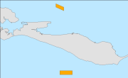
Arrêté du 23/08/2005 portant délimitation de deux zones d'interdiction temporaire à l'exercice de la pêche maritime par les navires de pêche professionnelle à l'intérieur des gisements naturels coquilliers de coquilles Saint-Jacques (Pecten maximus) des pertuis charentais (pertuis Breton et pertuis d'Antioche)
-
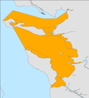
Arrêté n° 196/95 du 14 août 1995 relatif à la pêche professionnelle aux filets en Charente-Maritime. Source : BDR DPMA / 7_APC
-
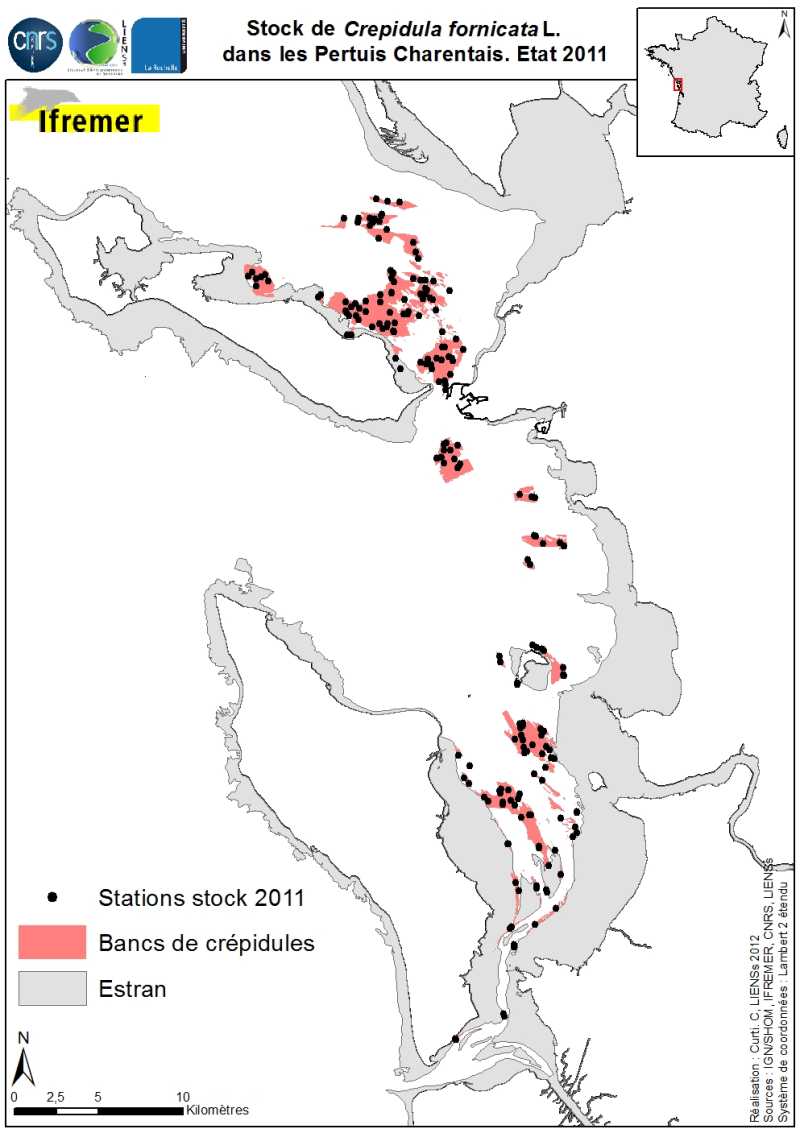
Les stocks (abondance et biomasse) de la crépidule Crepidula fornicata Linné, 1758 sur les petits fonds des Pertuis Charentais ont été estimés en 2011 et cartographiés (Sauriau et al., 2011). L’emprise de l’estimation comprend le Pertuis Breton, la partie Est du Pertuis d’Antioche, la presqu’île de Fouras et la baie de Marennes-Oléron où pour cette dernière baie des estimations antérieures sont disponibles. Les contours et superficies des bancs de crépidules ont été déterminés préalablement par imagerie acoustique réalisés à bord de la VO/Haliotis en 2008 et 2009, interprétés puis validés par des prélèvements ponctuels en 2009 (Curti, 2009). L’échantillonnage des stocks de 2011 s’appuie sur un échantillonnage aléatoire stratifié de 40 bancs avec une répartition proportionnelle de l’effort d’échantillonnage de 200 stations entre les bancs. Sont répertoriés pour chaque banc les stocks de crépidules (abondance en million, biomasse en tonne) aussi bien vivantes que mortes, ces dernières coquilles pouvant servir de support potentiel à de nouvelles colonisations.
-

The coastal topobathymetric DEM of Ré Island's surroundings, with a resolution of 0.00005° (~5 meters), was created by Shom as part of the HOMONIM-3 project. It covers the coast of the municipalities of Ars-en-Ré and Saint-Clément-des-Baleines, extending offshore to a depth of about 20 meters, to the west of the Phare des Baleines lighthouse. This DEM is designed for use in hydrodynamic models to enhance the modeling of coastal processes, particularly forecasting submersion risk. The product complements the coastal topobathymetric DEM of the Pertuis-Charentais, with a resolution of 0.0002° (~20 meters), and the bathymetric DEM of the Atlantic coast, with a resolution of 0.001° (~100 meters). It is available in the vertical reference of the Lowest Astronomical Tide (LAT) or the Mean Sea Level (MSL).
-
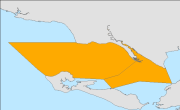
Arrêté du 01/02/2006 fixant les conditions de l'exercice de la pêche des coquilles Saint-Jacques (Pecten maximus) sur les gisements naturels coquilliers des Pertuis Charentais pour l'année 2006 (campagne de pêche du mois de février 2006). EXPIRE Voir aussi : Arrêté du 17/10/2003 portant classement et délimitation du gisement naturel coquillier de coquilles St-Jacques du Pertuis Breton. ABSENT BDR DPMA Arrêté du 29/09/2006 approuvant Délibération n°05/2006 fixant les conditions d'exercice de la pêche des coquilles St-Jacques sur les gisements naturels coquilliers des Pertuis Charentais pour l'année 2006. Secteur du Pertuis Breton. Absent BDR DPMA
-
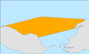
Arrêté n° 322/97 du 02/12/1997 définissant le gisement naturel de pétoncles du Pertuis Breton et les engins de pêche autorisés pour l'exploiter. ABROGE Remplacé par : Arrêté du 09/10/2003 portant classement et délimitation du gisement naturel coquillier de pétoncles du Pertuis Breton et définissant ses conditions d'exploitation. ABSENT BDR DPMA Voir aussi : Arrêté du 29/09/2006 approuvant Délibération n°06/2006 fixant les conditions d'exercice de la pêche des pétoncles sur les gisements naturels coquilliers des Pertuis Charentais pour l'année 2006 / Pertuis Breton. ABSENT BDR DPMA
-
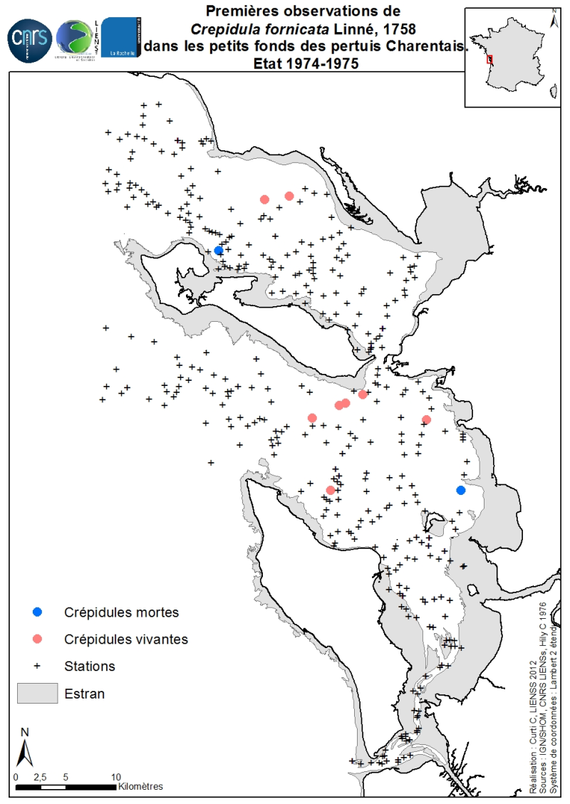
Les premières observations historiques de la crépidule Crepidula fornicata Linné, 1758 sur les petits fonds des Pertuis Charentais ont été cartographiées suite à un réexamen des résultats bruts obtenus par C. Hily lors de ses travaux de thèse de 3ème cycle sur l’écologie benthique des Pertuis Charentais. Les prélèvements ont été réalisés soit à la benne Smith McIntyre soit à la drague Rallier du Baty à bord du NO/Armorique de Concarneau en deux périodes, juin à août 1974 (432 prélèvements dont 330 quantitatifs) et avril 1975 (98 prélèvements dont 50 quantitatifs). Cette carte est issue de résultats inédits non référencés dans la thèse de C. Hily (1976) « Ecologie benthique des pertuis charentais». L’échantillonnage de l’ensemble de ces 528 prélèvements est limité à la zone infralittorale et circalittorale en excluant la zone intertidale. Cinq prélèvements quantitatifs à la benne Smith-McIntyre (dite « Aberdeen ») se révèlent contenir des crépidules vivantes entre 1 et 3 individus par benne de 0,1 m². Trois prélèvements qualitatifs par la drague Rallier du Baty se révèlent contenir chacun 1 crépidule vivante. Deux prélèvements quantitatifs contiennent des crépidules mortes, entre 1 et 5 par benne.
-
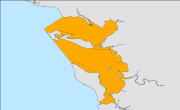
Arrêté du 15 novembre 2001 rendant obligatoire la délibération 3.2001 du 21/06/2001 fixant les conditions d'utilisation des filets maillants fixes ou dérivants dans la zone des Pertuis-Charentais. ABSENT BDR DPMA
-
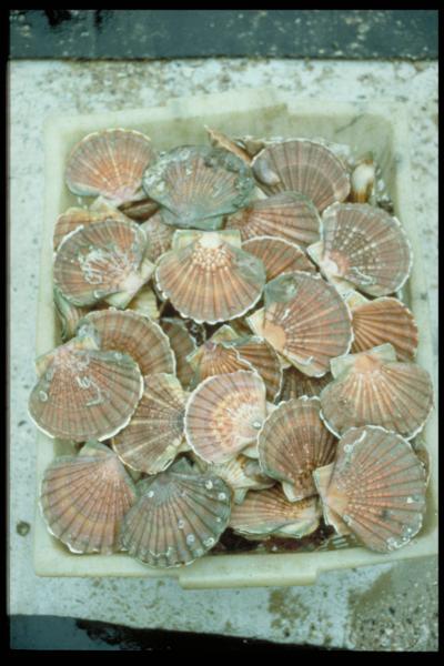
Ces campagnes qui ont eu lieu sur la Thalia, ont pour but d’évaluer l’abondance du stock de coquilles Saint-Jacques dans les Pertuis Charentais.
 Catalogue PIGMA